
Thursday, May 28, 2026
I reconsider a carefully selected itinerary before leaving. The walk starts out incredible, but my desire to cover more kilometers brings me closer to my limit.
Change the plan before the hike begins
dDetermined not to start late again, he had finished packing all the food the night before. I set an alarm for 7:00 am, but I woke up about 15 minutes early. I had breakfast and packed my bag. Then it was time to check the condition of my feet. They had been treated with triple antiseptic cream overnight and seemed to be in pretty good shape. I bought some calamine lotion while I was at the grocery store and gave them a dose in case the problem was actually poison ivy.
Thanks to my early departure and preparations the night before, I was able to get going around 7:45 a.m. I had planned a four-day backpacking stint, but I knew that if I pushed myself to hike about 12 hours a day I could get back to the van half a day to a full day sooner. This would give me much-needed time to blog, but I also needed to do laundry in the worst way.
If you think that rain would somehow remove dirt, grime, or even just the stench from hiking gear, you are sorely mistaken. All my clothes smell like a polluted lake. I have been transferring increasing amounts of clothing to my cat litter-filled pillowcases because they seem to be an effective way to dry and soften fabrics. There is less smell in them, but it is still horrible. I feel like at least now I can claim to be certified hiking trash. It’s fitting that I pass by a landfill today, which may give me a respite from my own stench.
The trail out of Pearisburg heading north takes Virginia Avenue and crosses the New River.
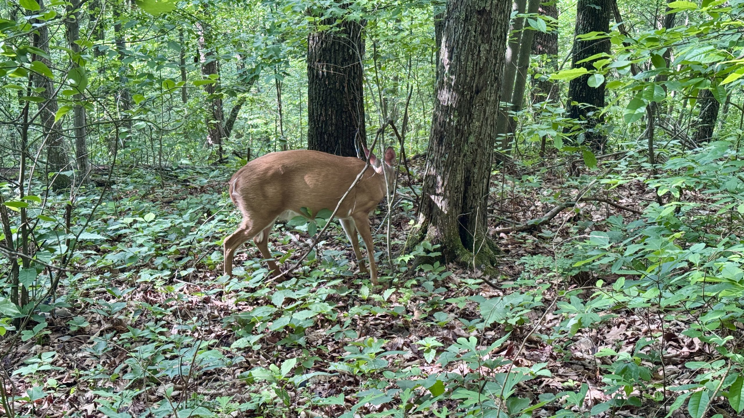
A deer watches the trail as I pass.
Dry feet, high spirits
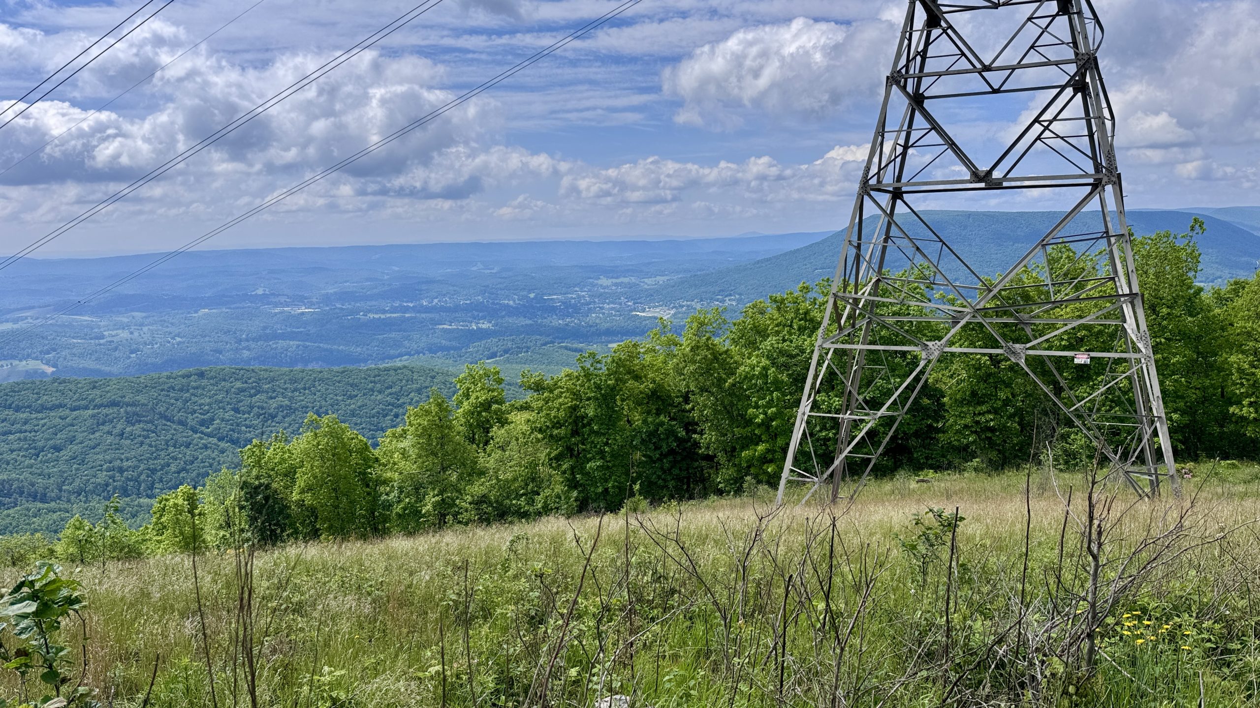
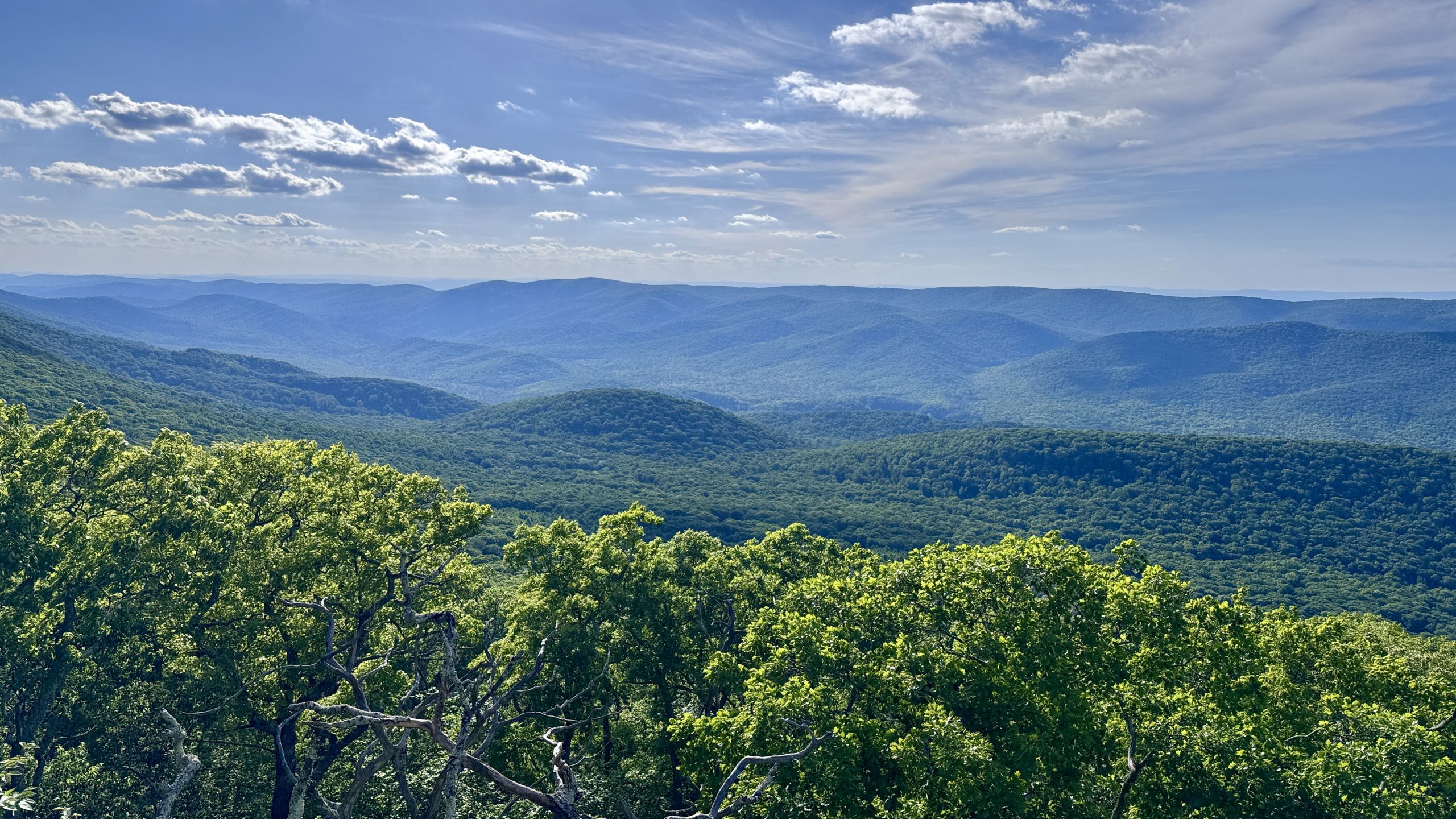
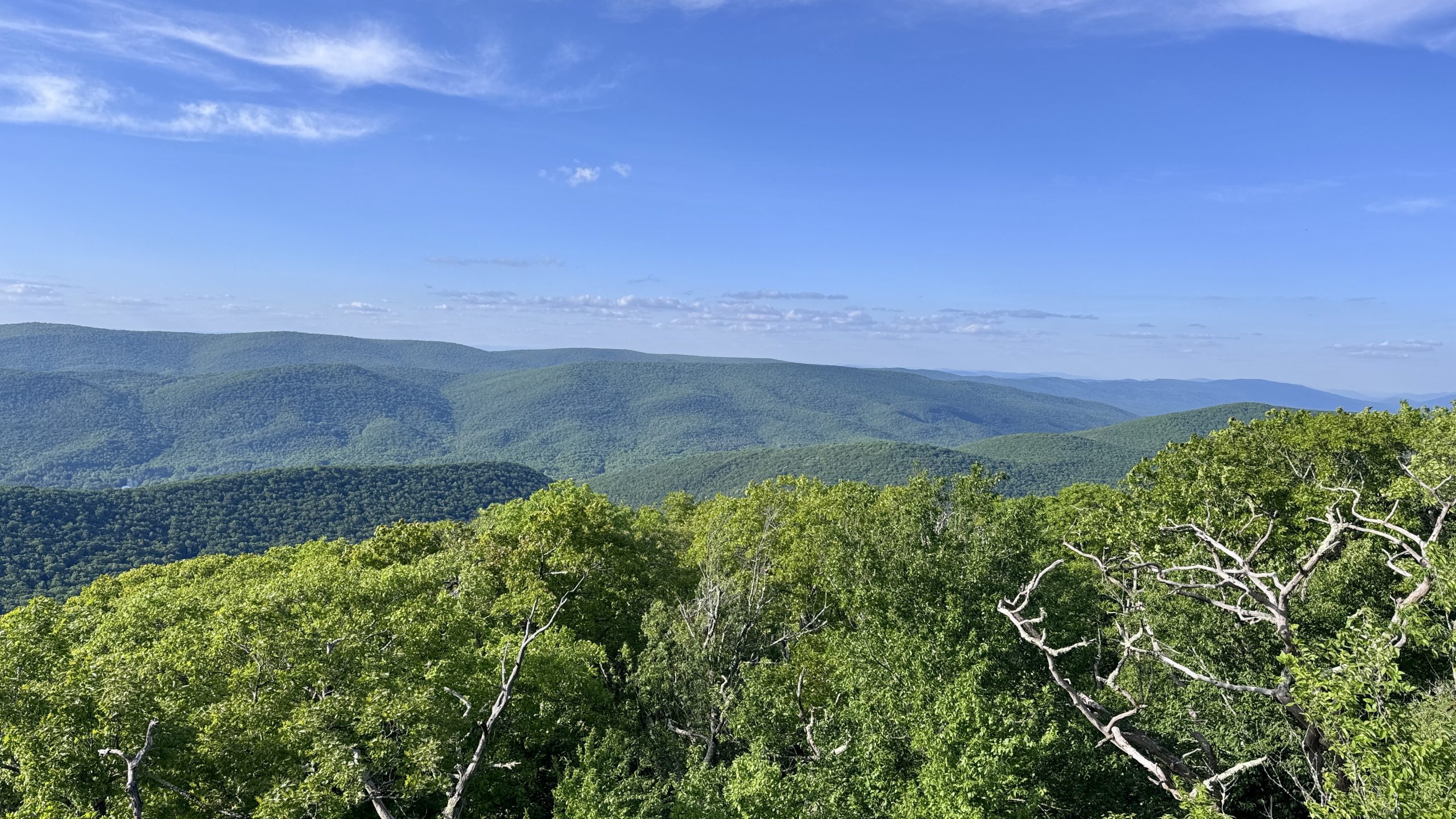
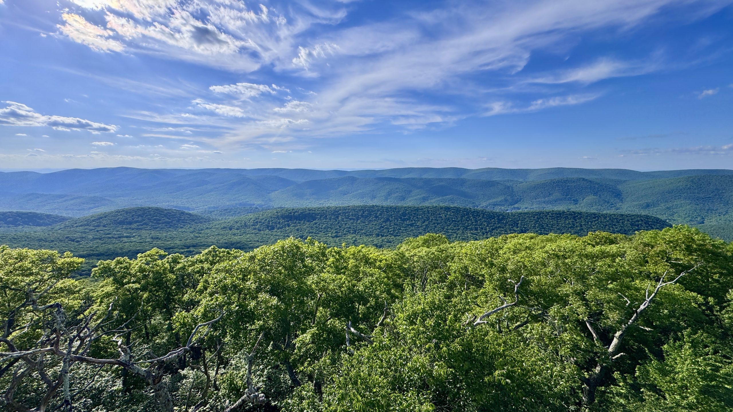
After three days of rain-soaked feet, finally having dry socks and shoes was glorious. Combined with the lighter miles from the day before, I can report that my spirits were through the roof. My first stop was the Rice Field shelter. It was there that I evaluated my options for how to spread the 90 miles of my four-day itinerary into three days. Part of me felt like I might want to save the longer miles for day three, when my pack would be lighter. Another part thought that today I should do as many as possible while feeling strong. This would give me the double benefit of fewer miles and a lighter pack in the days ahead.
Conveniently, the camping candidates about 30 miles up the trail lent themselves wonderfully to a split strategy of Plan A and Plan B. Plan A would be an aggressive 32.7 mile hike to the War Spur Shelter. If I felt like I couldn’t make it that far, then plan B would be to stop at an official tent site. It had a well flowing stream and was about 4 miles closer. I could still recover and complete the hike in three days either way. But I was definitely favoring plan A. I set my pace accordingly and focused on reducing the number of stops I made.
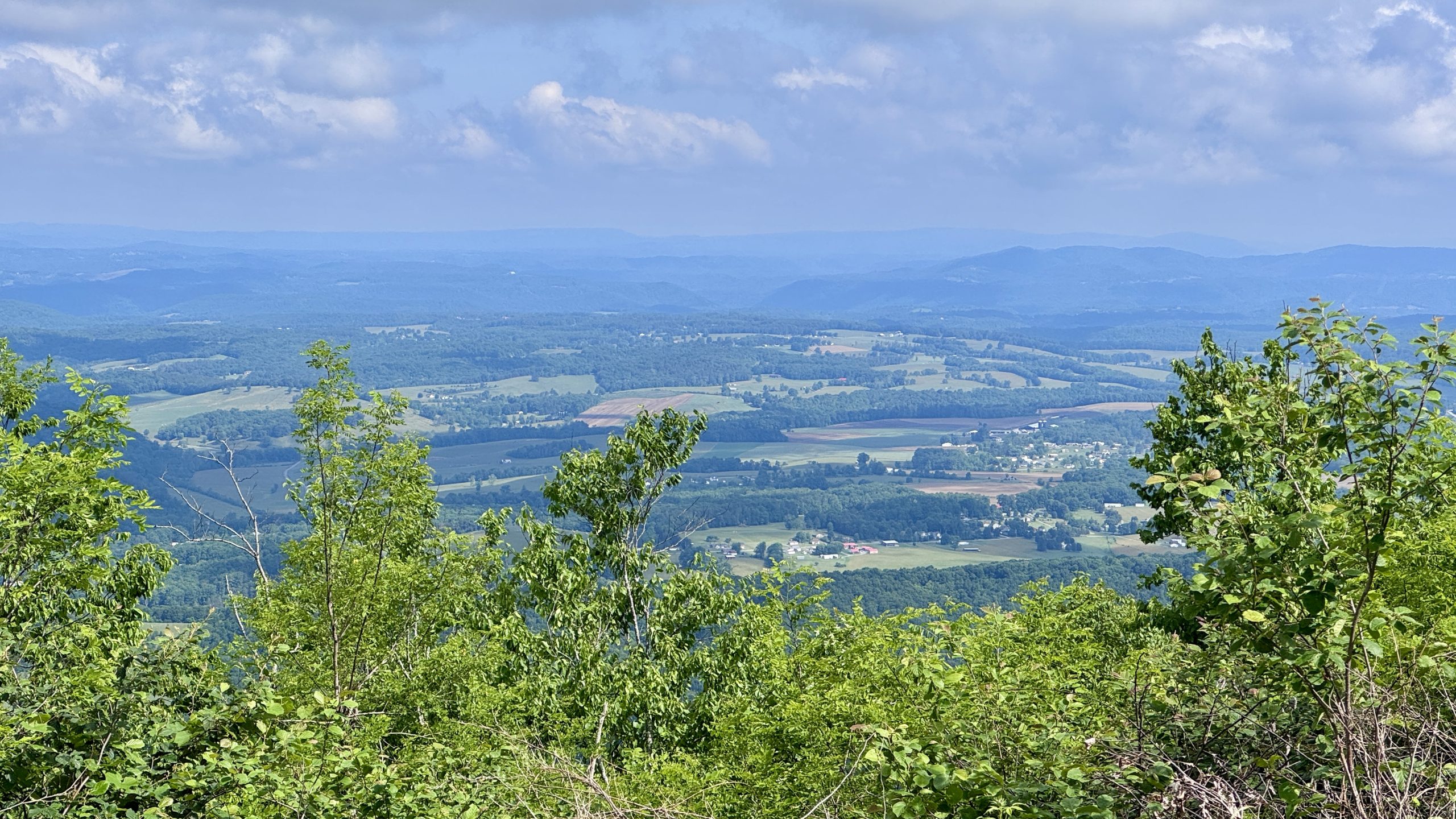
View from the trail near Rice Field Shelter.
View from the trail near Rice Field Shelter.
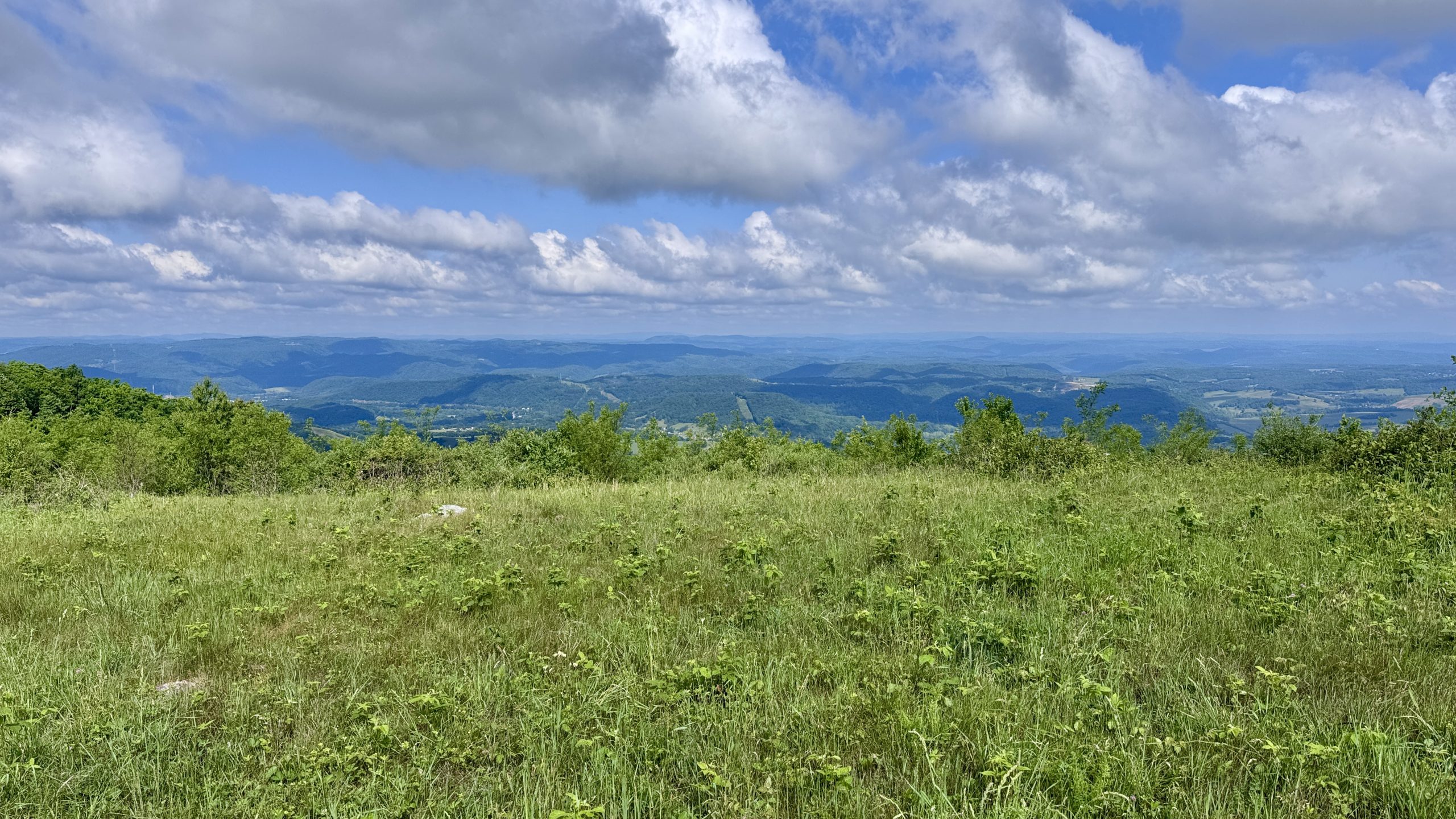
View from the trail near Rice Field Shelter.
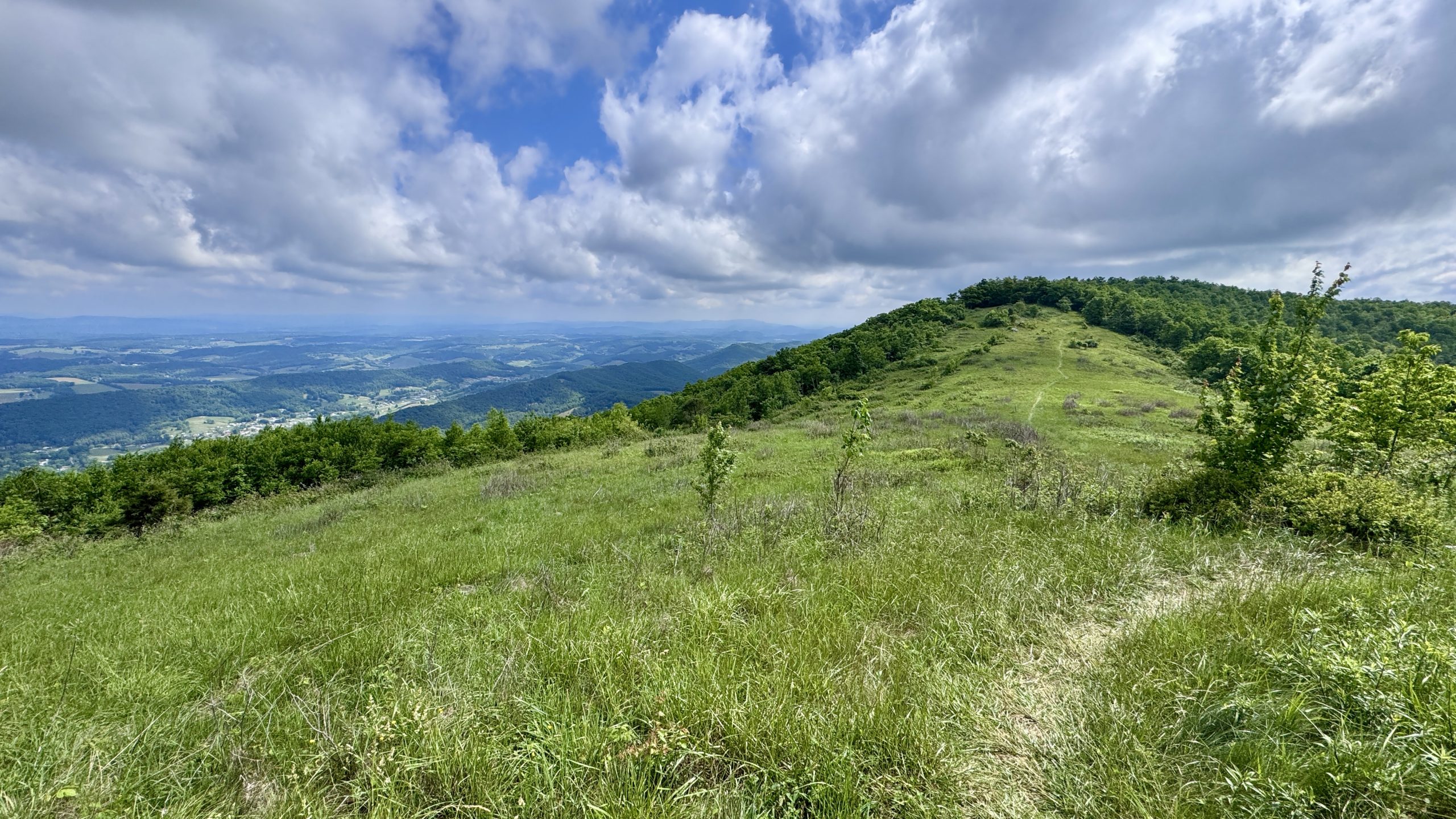
View from the trail near Rice Field Shelter.
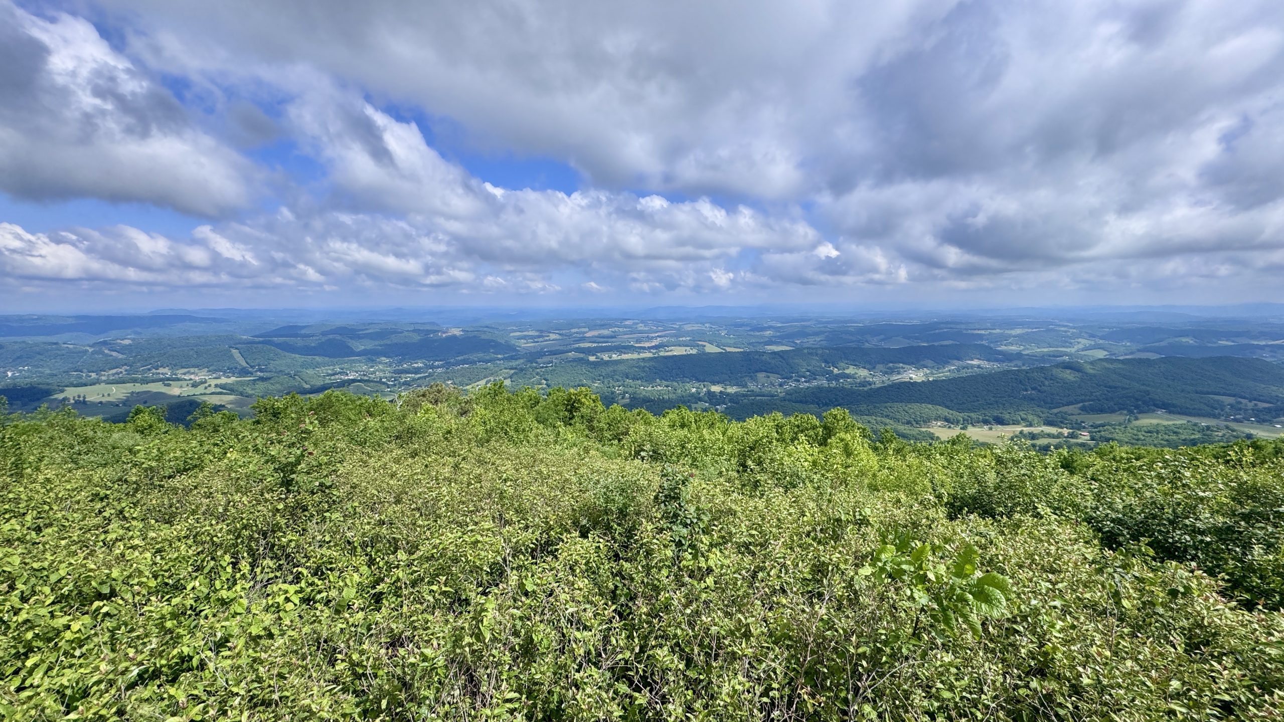
View from the trail near Rice Field Shelter.
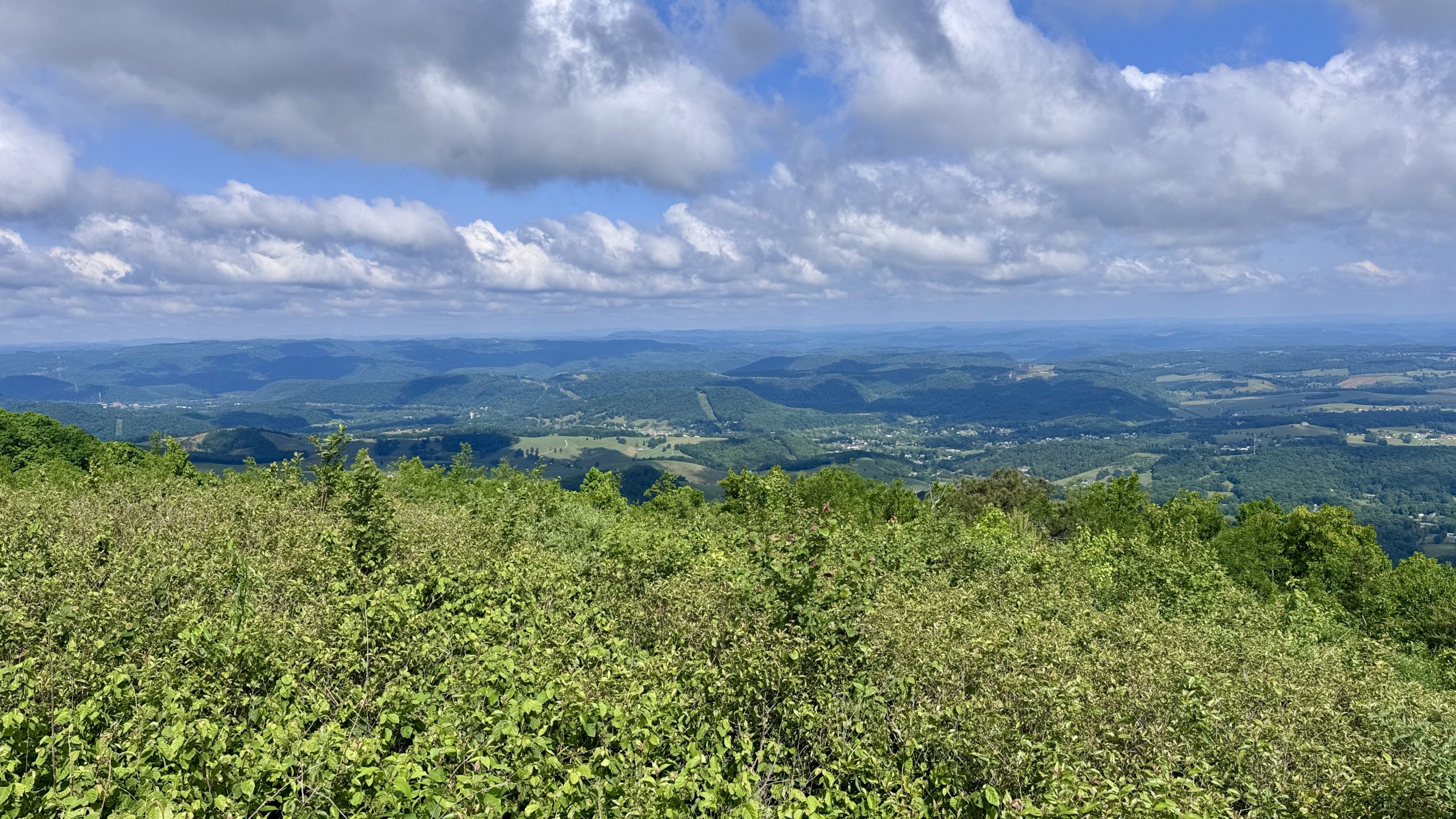
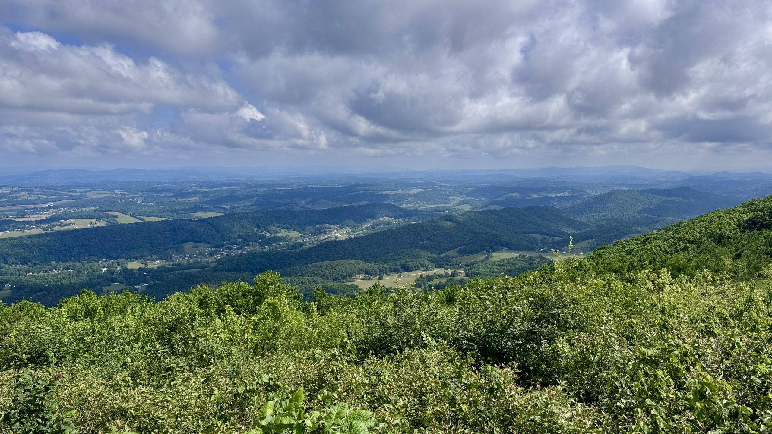
View from the trail near Rice Field Shelter.
View of Pearisburg from the AT.

View from the trail near Rice Field Shelter.
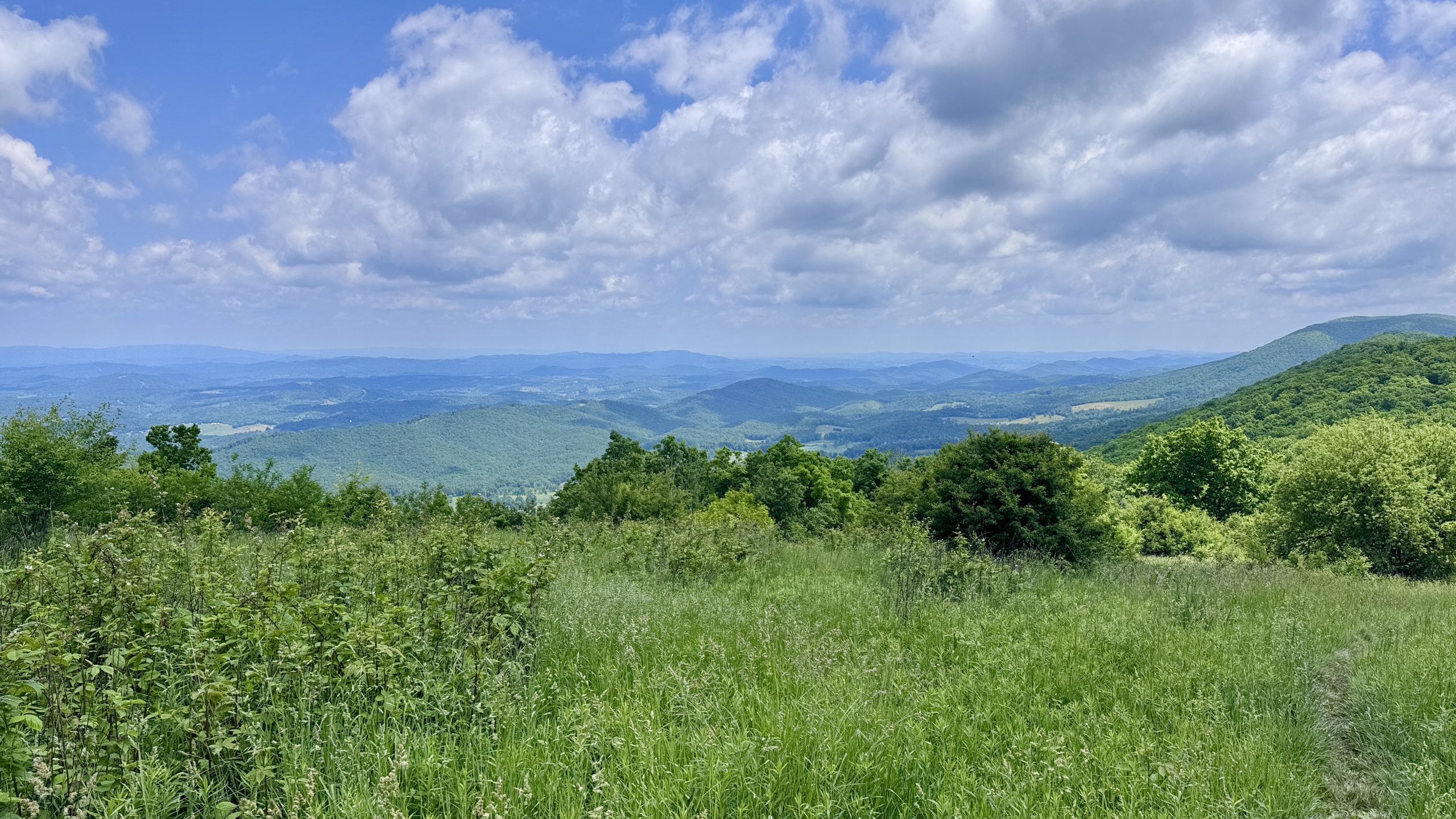
View from the trail near Rice Field Shelter.
the ideal
The first 7 miles from Harrisburg to Rice Field were a mostly steady climb. I managed the miles well and appreciated the flatness of the next ridge. These were my hardest kilometers of the day. It was warm. The road was not too arduous. The weather was sublime.
My motivation was a day off where I would finally have some downtime. I had taken a lot of days off, but I always managed to fill them with errands, hike planning, resupplying, and blogging with extra time for back edits. With food already purchased, a walking itinerary in place, and the recent completion of my retroactive edits, I thought I was in for a light day.
My brain was spinning with suggestions about what to do with the time. I would have my choice of restaurants in the Roanoke Virginia area. I even thought about going to see a movie. I had read the book Project Hail Mary last fall and was eager to see the movie that came out in March.
reality sets in
After more than 6 miles on the ridge, the trail descends steeply about 1,500 feet. It then follows a narrow connecting trail through a dense rhododendron forest with several treacherous water crossings. Some sections of this connector were noticeably steep and slowed my progress considerably. Once the connector joined the trail next to Big Stony Creek, it was like a switch had been flipped. The trail was 4 feet wide and perfectly level. After crossing the creek on a bridge, the trail begins a long climb to the Bailey Gap Shelter.
The Bailey Gap Shelter is currently closed due to bear activity. This was actually my originally planned overnight spot when I was hoping to do a four day backpacking stint. It would have been a good stopping point after the tough climb from the stream to the shelter.
Beyond the shelter was 2 miles of nothing but sharp, angular rocks. At this point I had already walked 20 miles and now the brutal rocks pulled and crushed my feet with every step. My trail shoes, which probably should have been replaced 200 miles ago, could do little to protect my feet from the cruel rock intrusions. A blister formed on the outside of my left heel from all the rubbing and pinching in that area of my foot. I couldn’t believe how long this difficult section of trail was and began to wonder if I would make it much further.
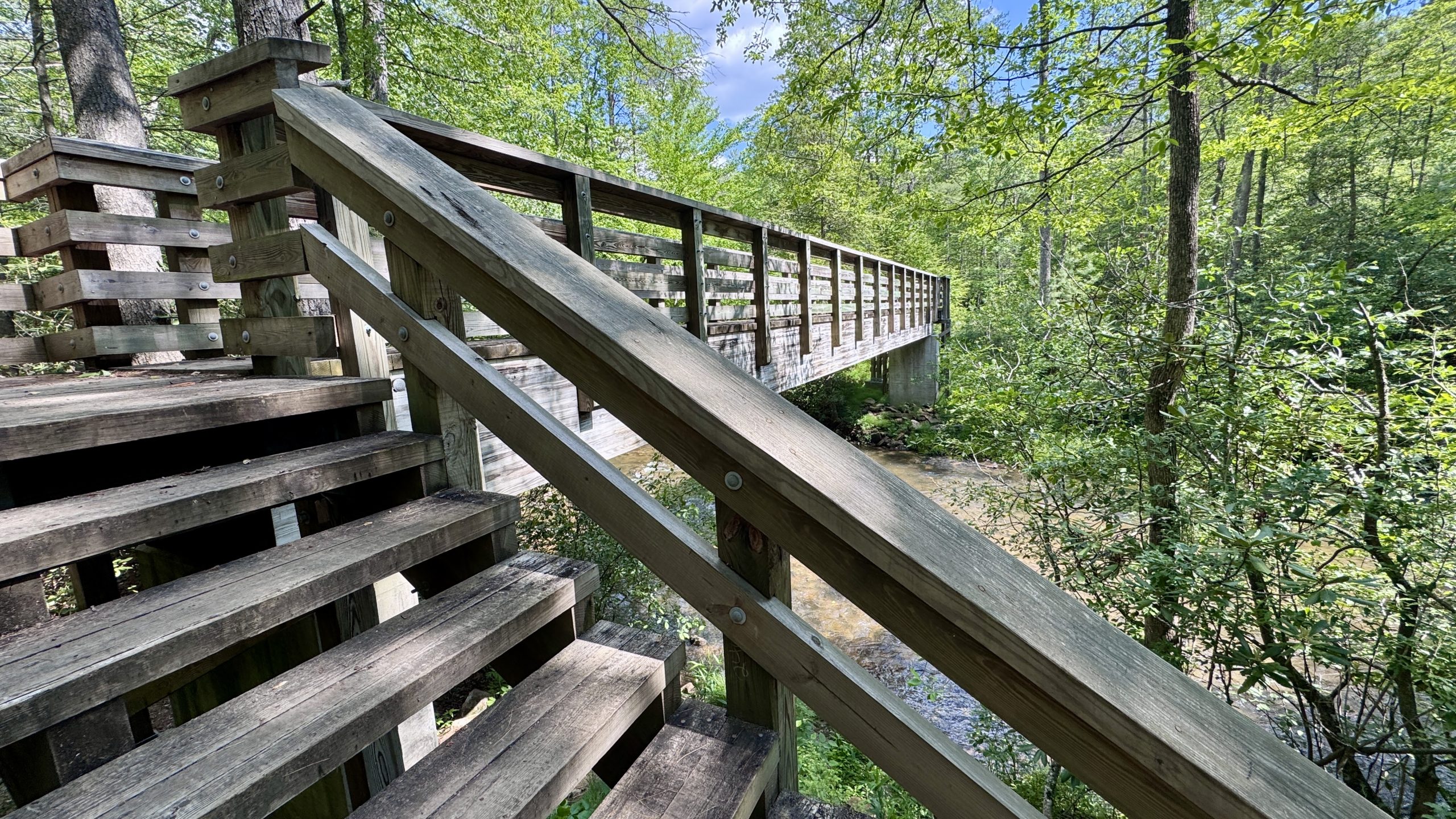
The bridge crossing Big Stony Creek.
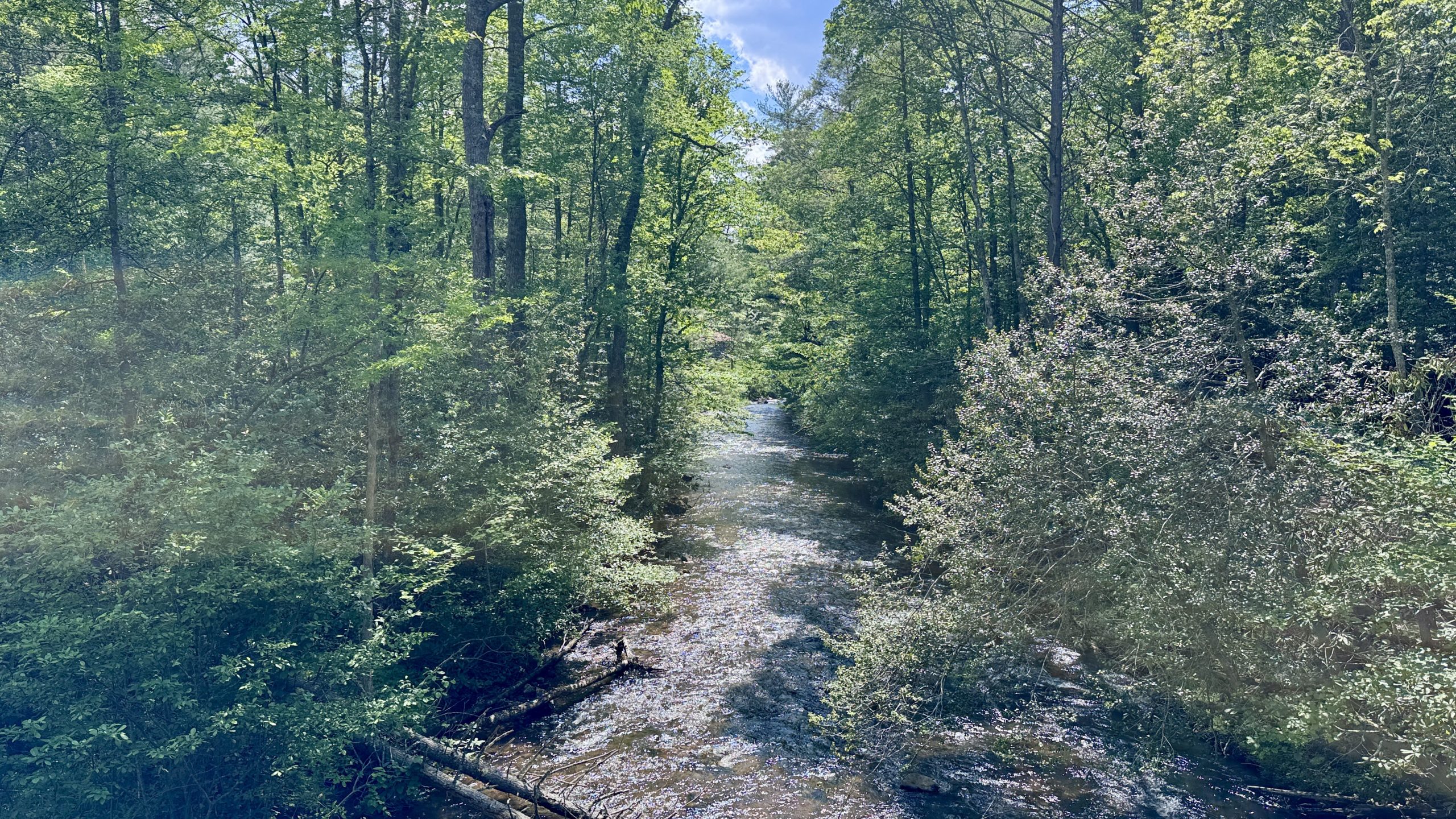
large stony stream
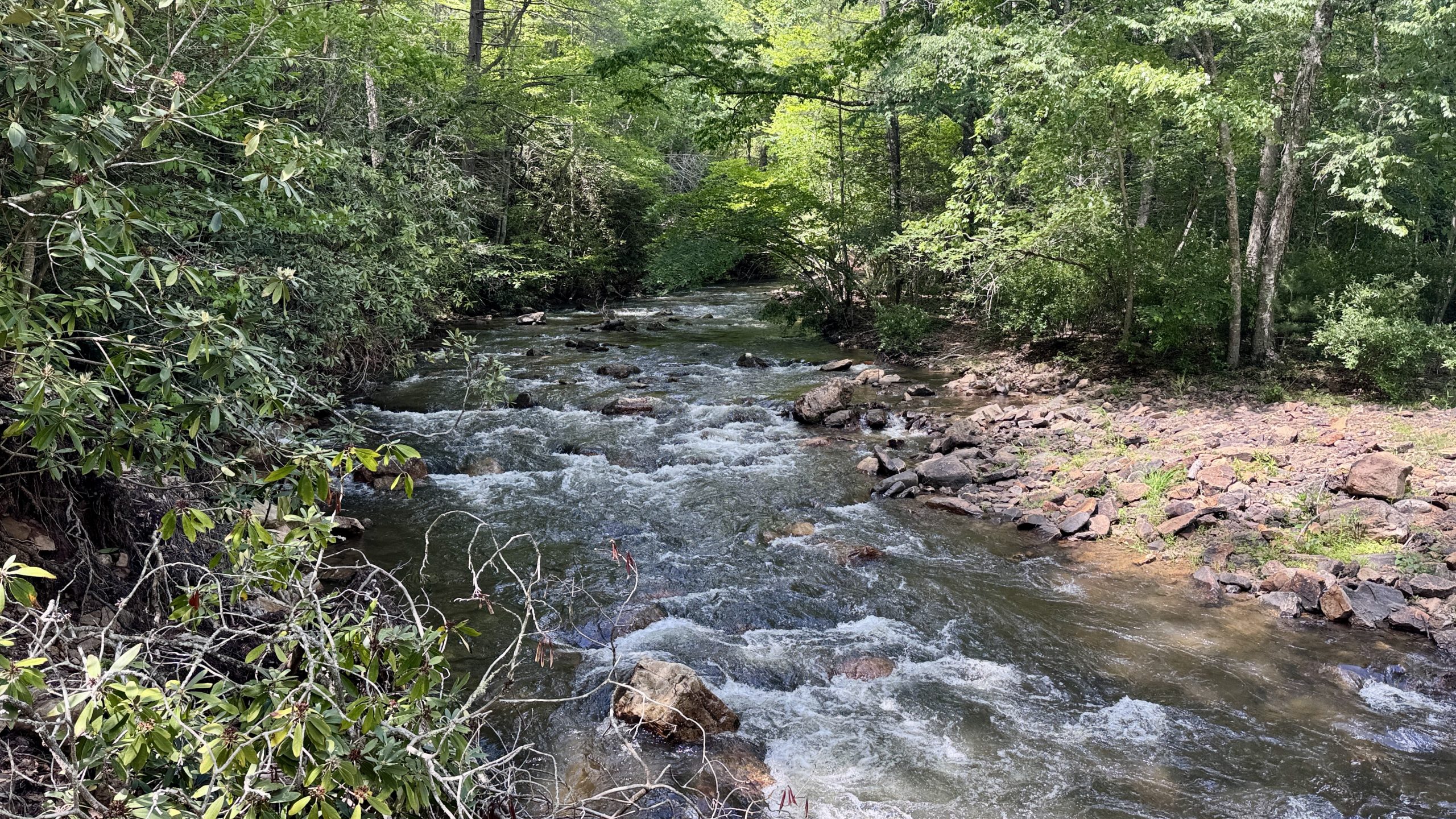
large stony stream
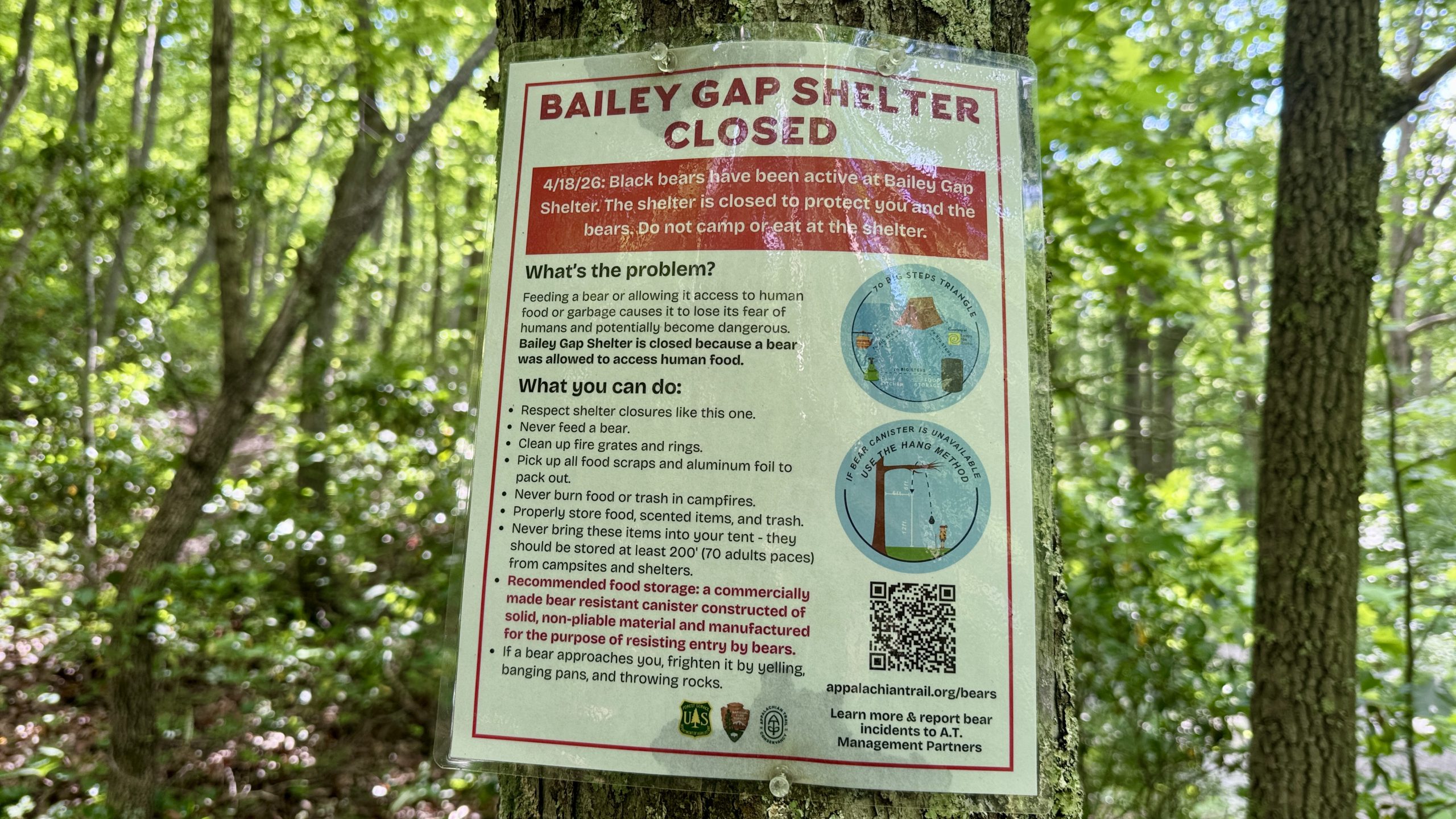
Bailey Gap Shelter Closure Information.

A look at the gruesome rock section north of the Bailey Gap Shelter.
Reaching limits
Once I passed the rock field, I knew I only had a few more miles and a few hundred feet of elevation gain before a long descent to the shelter. I figured if I could make it the next few miles, I could just sail to the shelter. Aside from my feet, I began to feel the ventilation frame digging into my back with each step. My backpack was pushing the frame towards my back and prodding at what was becoming an increasingly sensitive spot. I remember thinking about my equipment purchasing decisions. He had given up heavier, more expensive equipment in favor of lighter, cheaper items. I felt like they were perfect for someone who averaged 20 miles a day. However, when you get to 30 or more, the lack of comfort features starts to show.
With a few kilometers left, I started to notice that my little finger could no longer grip the trekking pole. He just decided he didn’t want to hold things back anymore. The final descent was at least relatively gentle, but it wasn’t gentle for me. My feet, which had been severely crushed, have to constantly deal with the weight of my body falling on them. They were essentially numb, but still transmitted many pain signals to my brain. I stopped briefly at Wind Rock to admire the view. Titanium had set up shop there, it would be a fantastic place to enjoy the sunset.
View from Wind Rock.
View from Wind Rock.
View from Wind Rock.
Sizzling towards war stimulus
When I arrived at War Spur Shelter after 8:00 pm, a group of hikers were gathered around a campfire. They had clearly been there for at least an hour, if not several hours. I managed to claim what must surely have been the last of the tent sites. It was a little close to the toilet, but I was willing to accept anything at that point. There was no time to admire the triumph of my first day of 30+ mile backpacking. I just had to go straight to setting up my camp, filtering the water, and then joined the group in front of the shelter and had dinner.
The group turned out to be friendly and very interested in my approach to hiking. We were all staggering down the 2 mile stretch of rocks a few miles back. Soon it was time for me to go to bed and go up to my tent. As I lay down, I felt the tender spot on my back. It was the size of half a golf ball. I inspected the vent frame and thought I discovered that a piece had come loose and may have been stuck in my back for the last few miles of the hike. I did my best to put the piece back into its correct position. I fell asleep hoping my body would solidly heal overnight.
-See you tomorrow
| Leg | Begin | Mile | End | Mile | Ascent | Decline | Address |
|---|---|---|---|---|---|---|---|
| 1 | Pearis Cemetery Parking Lot | 637.5 | war shelter | 670.2 | 6,890 | 6,147 | NOBO |
Total: 32.7 miles, 70,482 steps
- Hike type: Backpacking
- Camp: Tent, War Spur Shelter
This website contains affiliate links, which means The Trek may receive a percentage of any products or services you purchase using links in articles or advertisements. The buyer pays the same price they would otherwise pay, and their purchase helps support The Trek’s ongoing goal of bringing you quality backpacking information and advice. Thank you for your support!
For more information, visit the About page of this site.


