
Jessie and I are left alone as we are separated from our friends due to the noro virus. We also entered the Virginia Triple Crown segment!
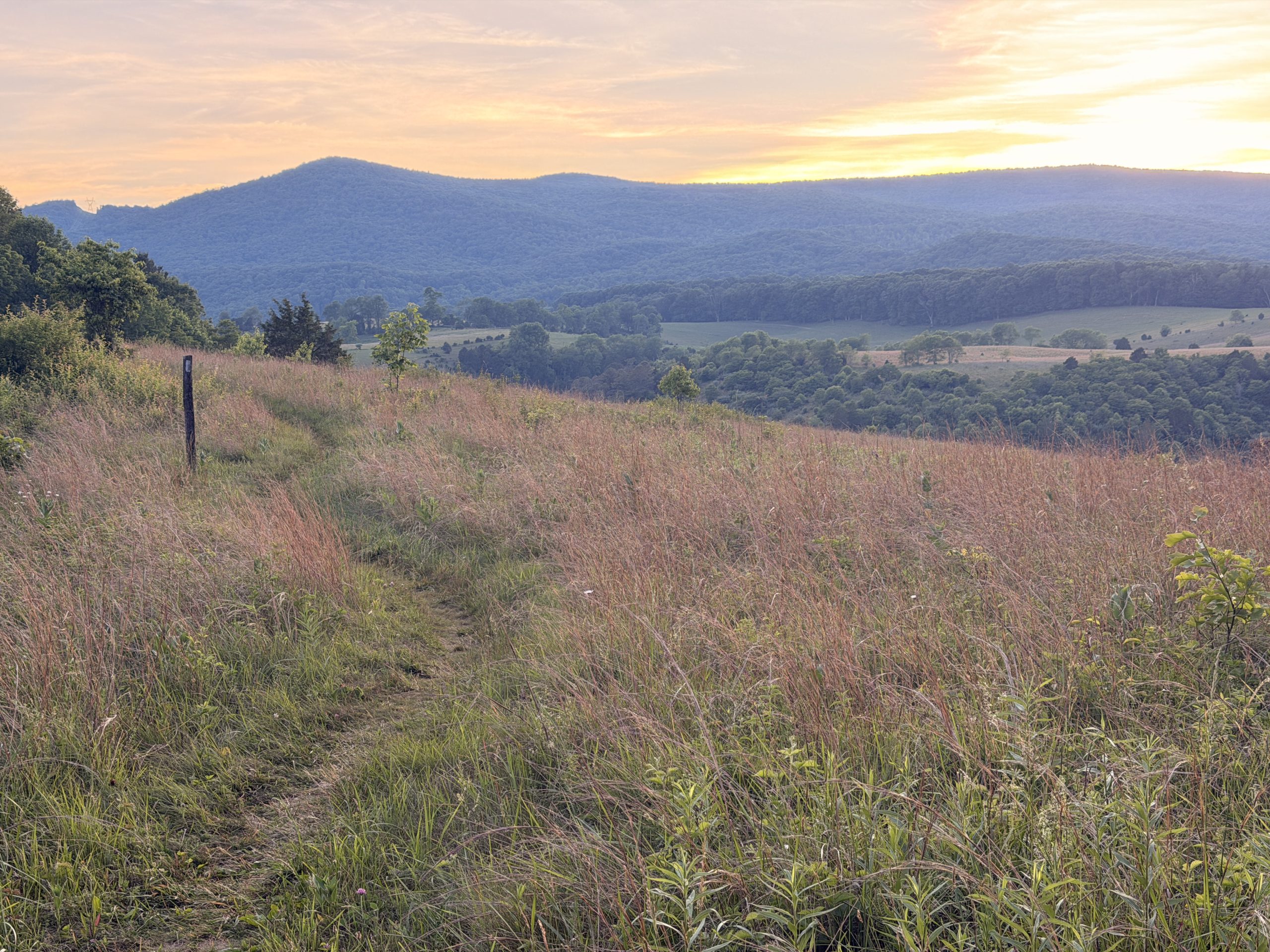
Morning view from my walk above the clouds.
I woke up early in the morning to catch a bus back to Woods Hole while Jessie slept in. As tempted as I was to stay behind, cancel transportation, and sleep in too, I had to make up the miles between Woods Hole and Pearisburg.
It was an incredibly cloudy ride back to the mountains, but I had a nice conversation with Honey Bun, the shuttle driver. I had hiked the trail in 2019 and it was nice to get advice and hear their stories.
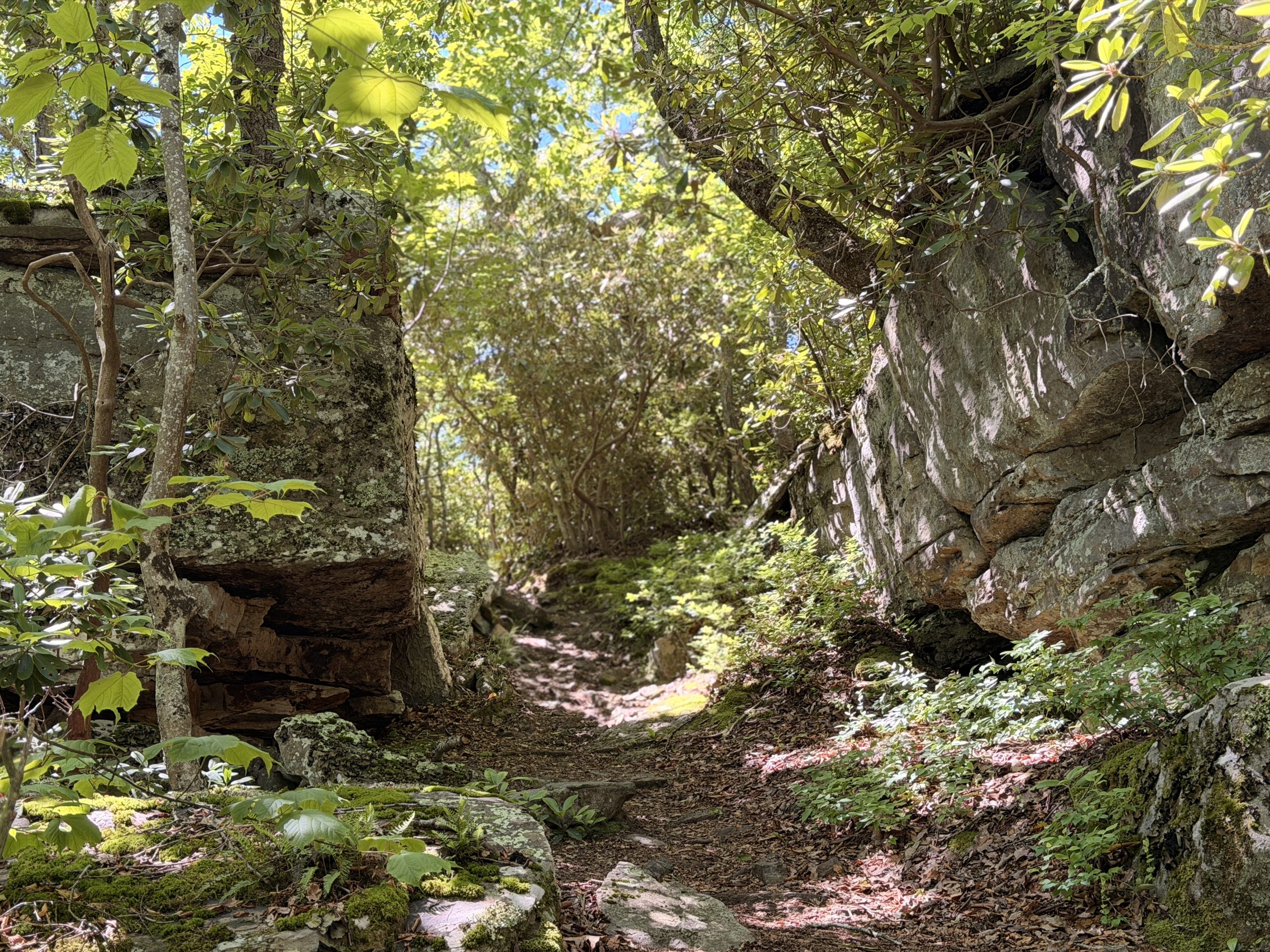
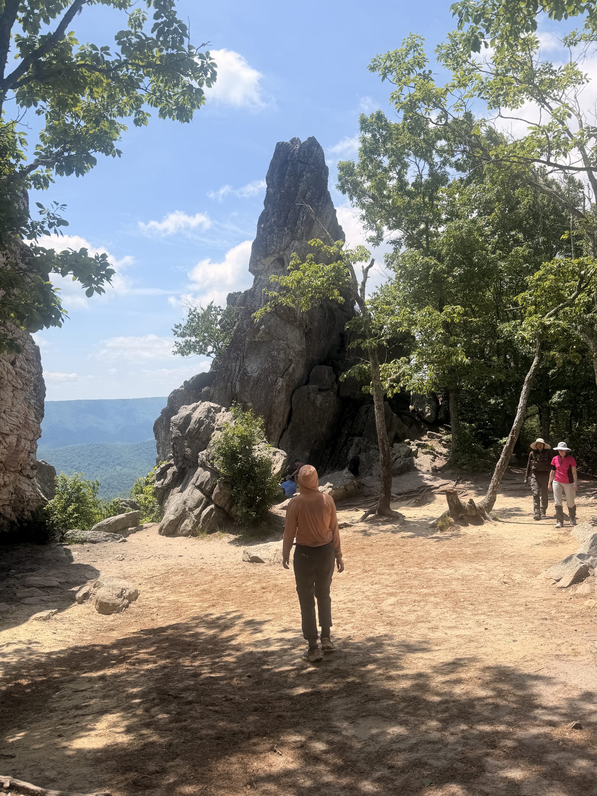
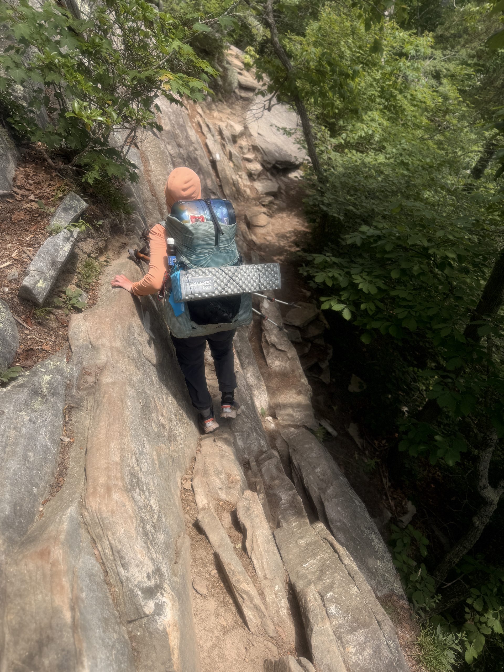
The trail to the Angel’s Rest rock formation.
I wasted no time once I reached the trailhead. The terrain was mostly easy minus a couple of pesky rocks sticking out of the ground. When I came to a clearing on the ridge line, I could see all the fog I had just passed through sinking into the valley.
View north from Rice Field Shelter.
I managed to make up the 10 miles before noon and meet Jessie on the road into town. She and I were out of trouble due to the unfortunate norovirus episode. We had become so accustomed to our group dynamic that it was a difficult readjustment walking with just the two of us again.
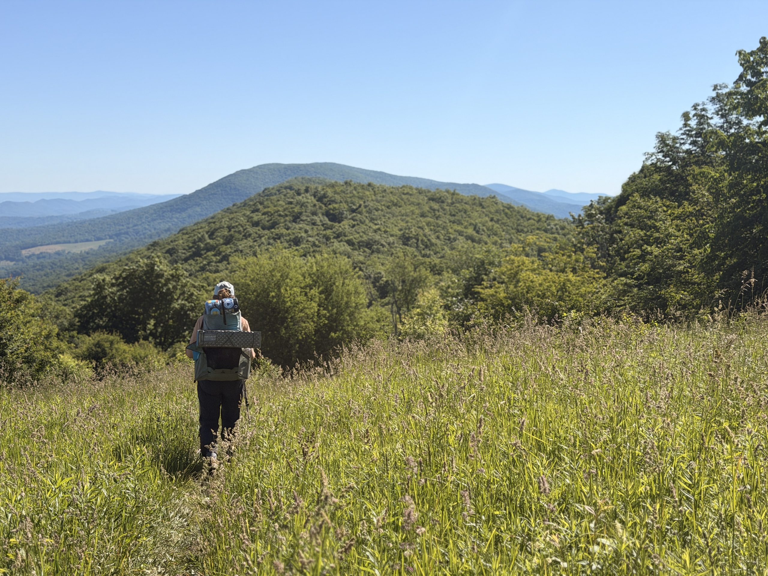
We were moving forward, very well, but morale was a little low because we were afraid we wouldn’t be able to catch up with our friends again. They had talked about increasing the daily pace because of the zero they took while we waited for us to recover and knew we weren’t going to be able to keep up.
Jessie and I ended up doing a total of 20 miles that day, 20 for me and 10 for her. We ended up setting up camp with another fairly well established group. Our overall mood was so low that I felt bad for not being a social butterfly. We had dinner quietly and ended up going to bed.
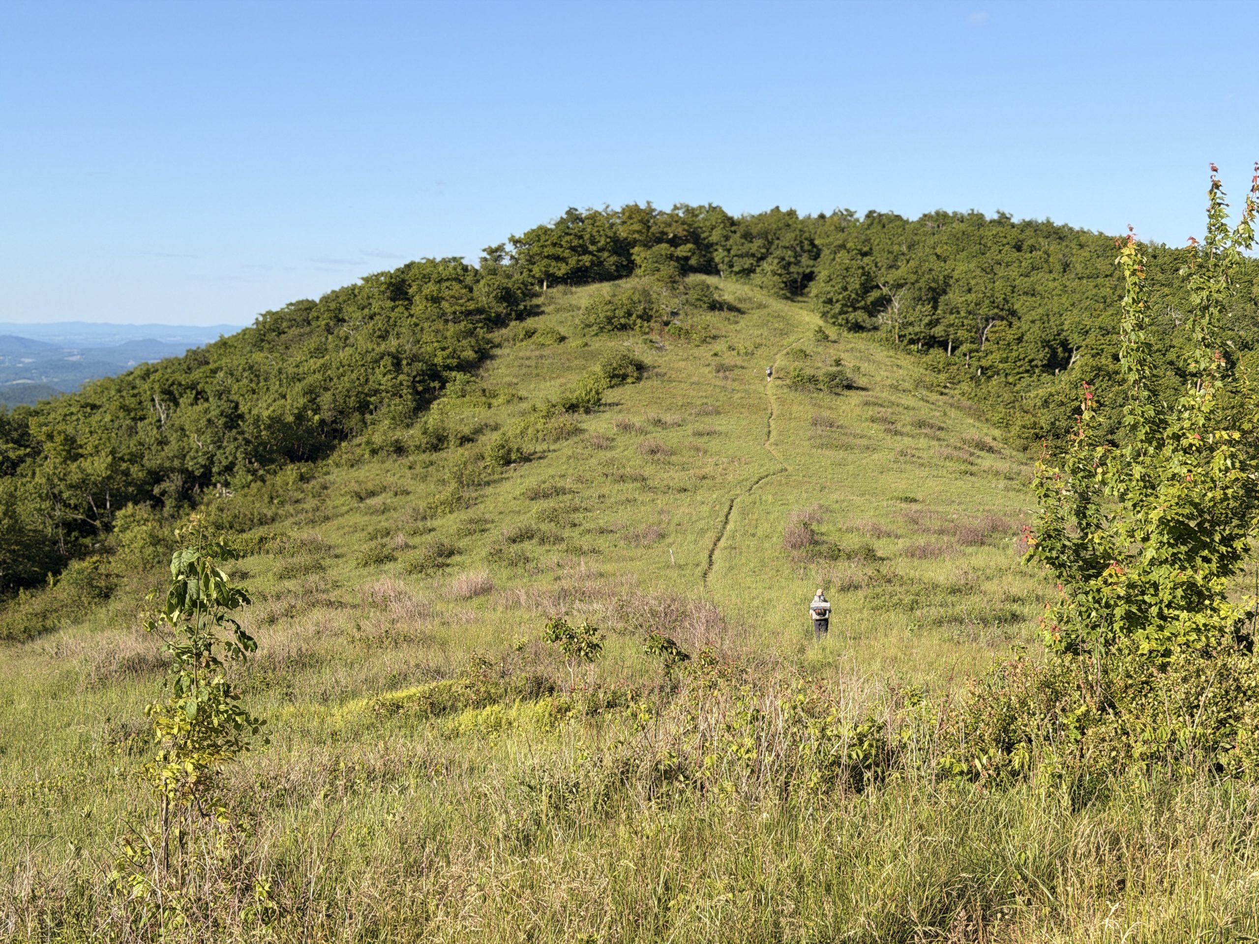
Walking through a meadow the next morning.
The next day we focused on trying to keep our spirits up. We had a difficult climb planned for the day, but the rest seems like an easy hike up the ridge. We were a little distraught to discover that the shelter we had planned to reach was closed due to bear activity, and the next campsite was 4 miles down the road. This meant that we would unfortunately have to do another 19 mile day.
We’ve been trying to keep our daily pace between 14 and 16 miles, as that’s what felt best for us for recovery and strength. It seems like pushing a 20 and a 19 can end up being detrimental, especially when the unplanned stretch consisted of 2 miles of sharp, jagged Pennsylvania-style rocks.
Every step made your foot contort in one way or another. If he took a wrong step, he would feel a stab of pain as a stone dug into his heel or arch. I waited for Jessie at the water fountain and pitied her about our discontent with that particular ridge.
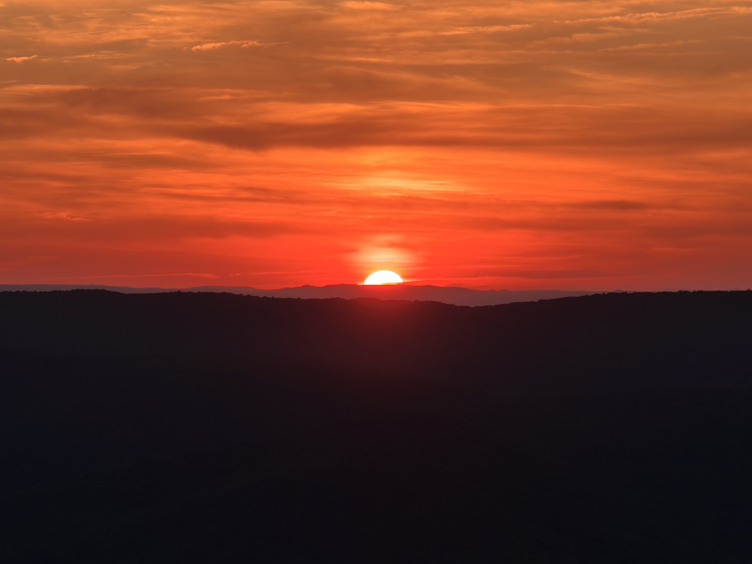
Sunset view from Wind Rock.
Whoever said Virginia was easy completely lied. From there, it was just another mile to our proposed campsite at Wind Rock. We arrived pretty close to sunset and chatted with a couple of really nice sisters, Skittles and Stinger. The sunset was quite magnificent which made up for the length of the day and the difficult terrain.
We climbed into our tent, ready for a good night’s sleep and recovery, when an unfortunate group of Virginia Tech students showed up. We had unknowingly chosen to camp at one of the most popular college hangouts in the area.

Another group that had arrived at Wind Rock for sunset (I don’t think they were the rowdy types).
Instead of getting a good night’s sleep, we listened to drunk college students screaming until 1 in the morning. I’m so happy you had a pleasant experience and formative memory in the woods, and I know you probably didn’t realize how rude you were being, but our sleep was affected by it.
A sunset view from camp of some pastures we had hiked through.
We made up for it with a late start the next day and enjoyed breakfast on the rocks, looking out over the valley. It was feared that more stones would harass us all day. Luckily, to our surprise, the day was calm and full of meadows. We ended up walking through some beautiful farmland and ended the day right at 14 miles.
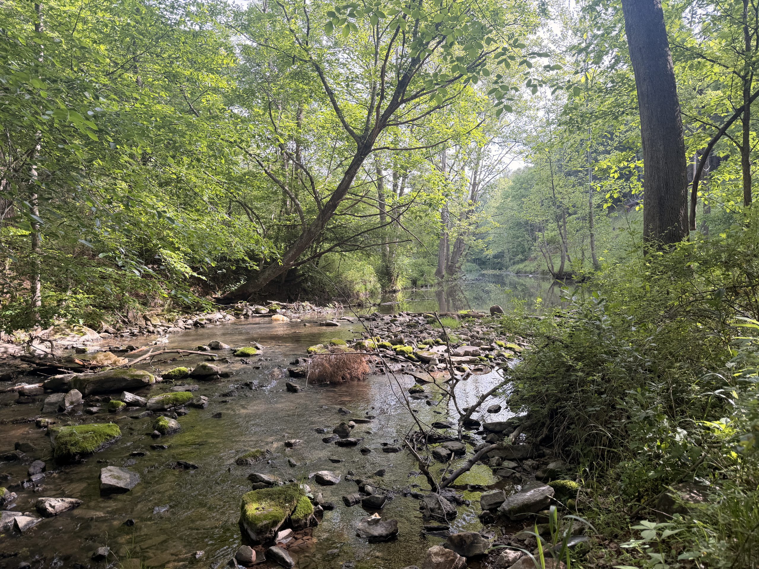
A beautiful stream…that was mostly pasture runoff.
Another obstacle we have encountered in Virginia has been the water situation. The ridge lines don’t seem to offer much in terms of springs and streams. Although we had a lot of rain at the beginning of Virginia, we have been dry ever since and all the water sources are starting to reflect that. Instead of the cold, refreshing spring water we’ve become accustomed to, our only options have been warm water from pastures and runoff from the roads.
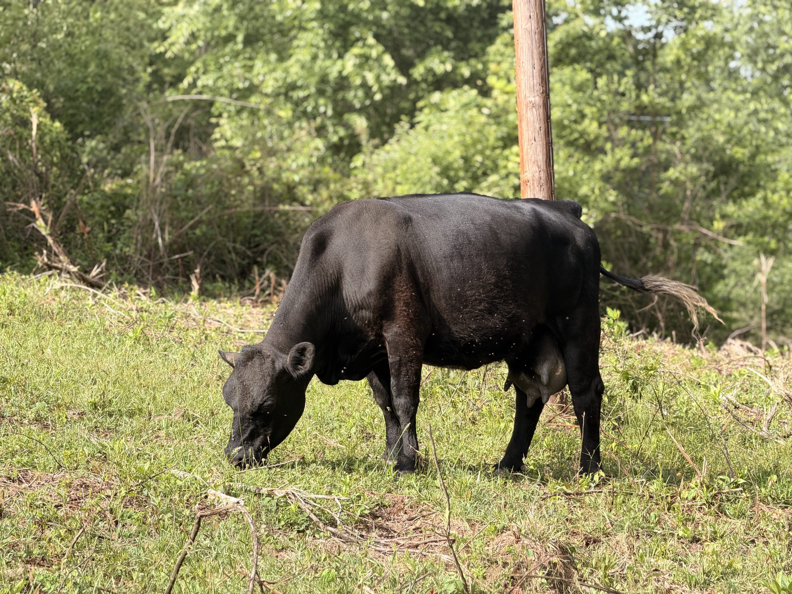
Image of the person responsible for contaminating the water.
We would fill our water at the bottom of the hill, walk about 10 miles of ridgeline, and pray that we wouldn’t have to drink too much poop-laced water before we reached a better source. We had two climbs to conquer today, but the next day we would head to a hostel. The first climb wasn’t too bad, but it took away a lot of our energy for the second.
Our camp, which we frankly tried too hard to get to.
We sat at the bottom of the hill, trying to determine if we wanted to give up for the day and tackle it in the morning or get it out of the way so we could stroll into town. When we decided to camp for the night, a couple named Mushroom Man and Bed Head stopped by and gave us all the encouragement we needed to keep going.
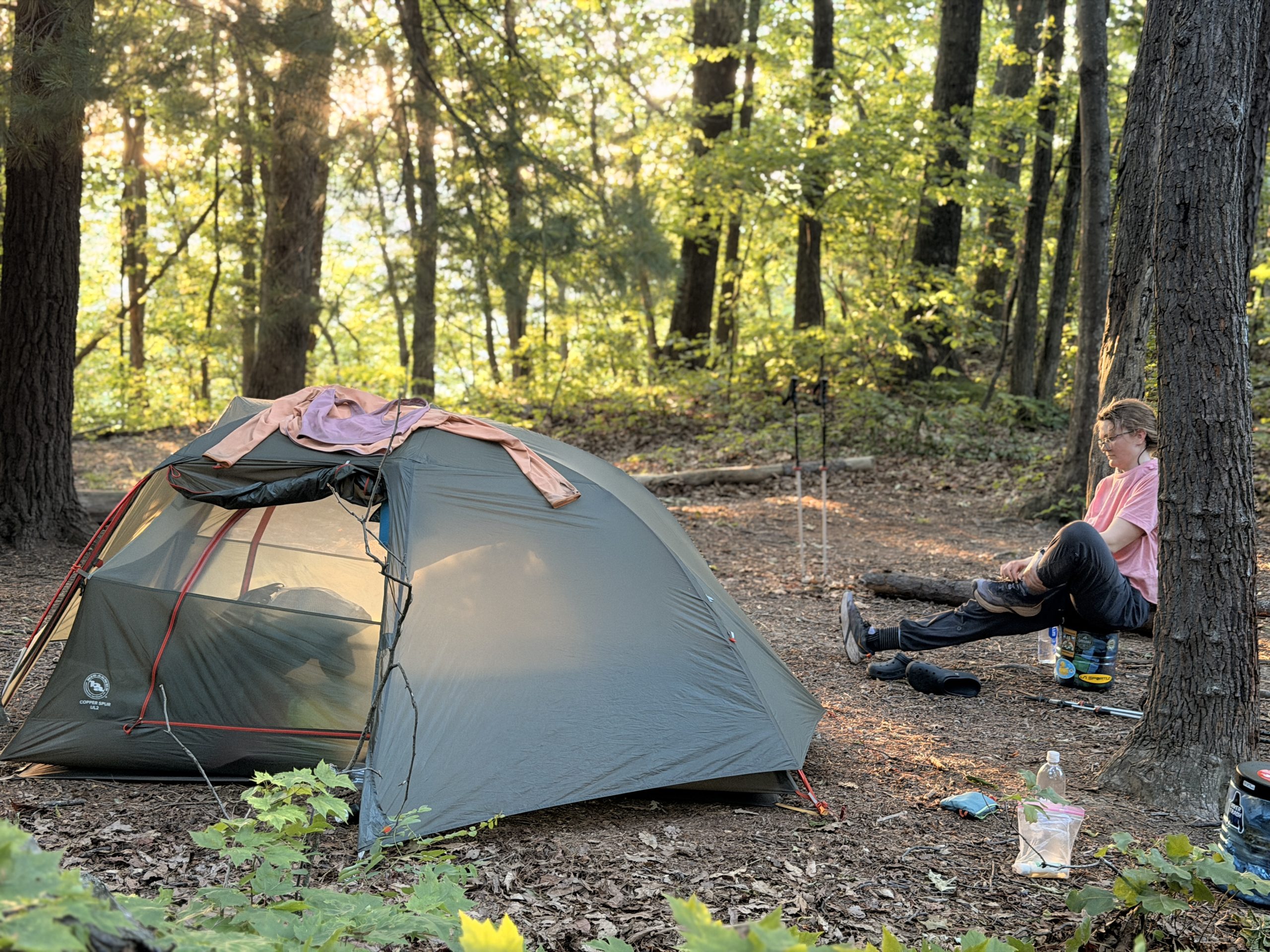
We both put on our headphones, kept our heads down, and headed up the hill. We were promised in the FarOut comments that there would be plenty of camping spots on both sides of the trail along the ridge line. That was another lie. We continued on until sunset, where we finally had a flat spot to set up our tent. There wasn’t much time to relax at camp. We couldn’t wait to lie in bed and pass out.
Jessie walking towards the Dragon’s Tooth rock formation.
The day we were waiting for finally arrived. We would enter the triple crown area of Virginia and arrive in the city. It was a super smooth descent to the road, followed by a substantial climb to the dragon’s tooth. The view from the top was one of the best we’ve had in Virginia so far.
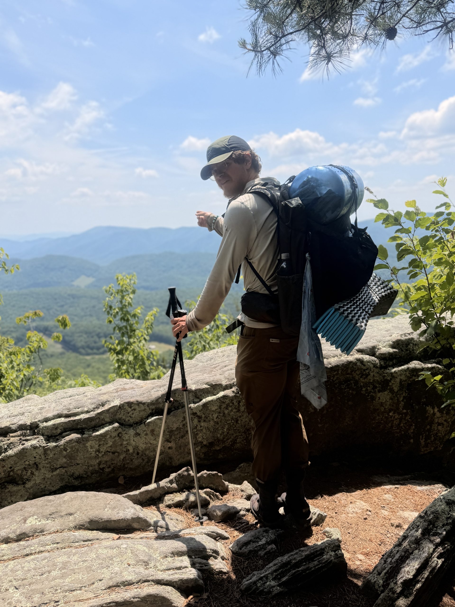
A photo of me admiring the view.
The rock formation itself was also quite an interesting feature, and we had a good time climbing over it and relaxing for a bit. Coming down the mountain was a different story. It was a long climb up the south end, but at least somewhat peaceful. Going down the north side was a struggle.
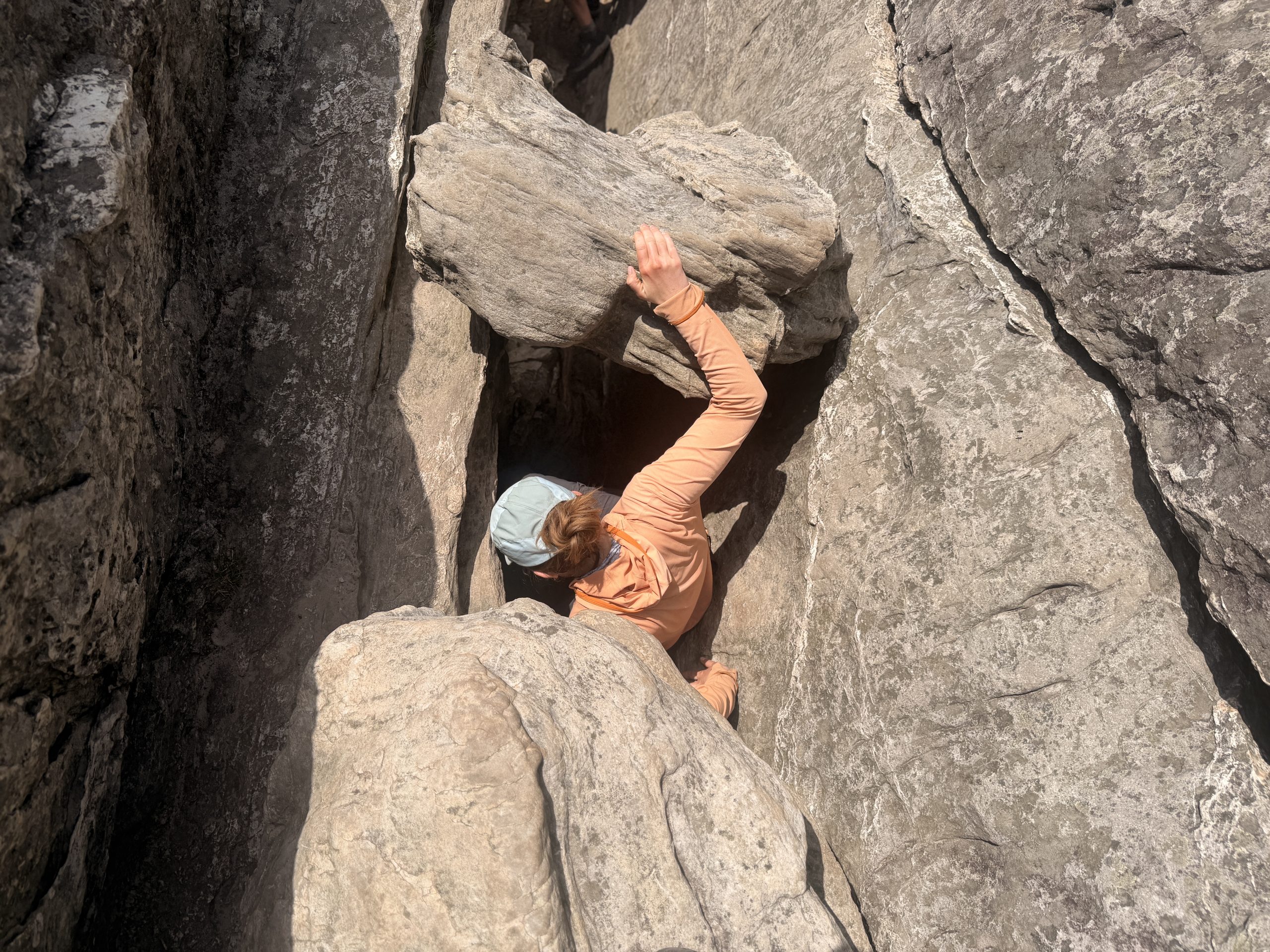
Climbing the Dragon’s Tooth to enjoy the view.
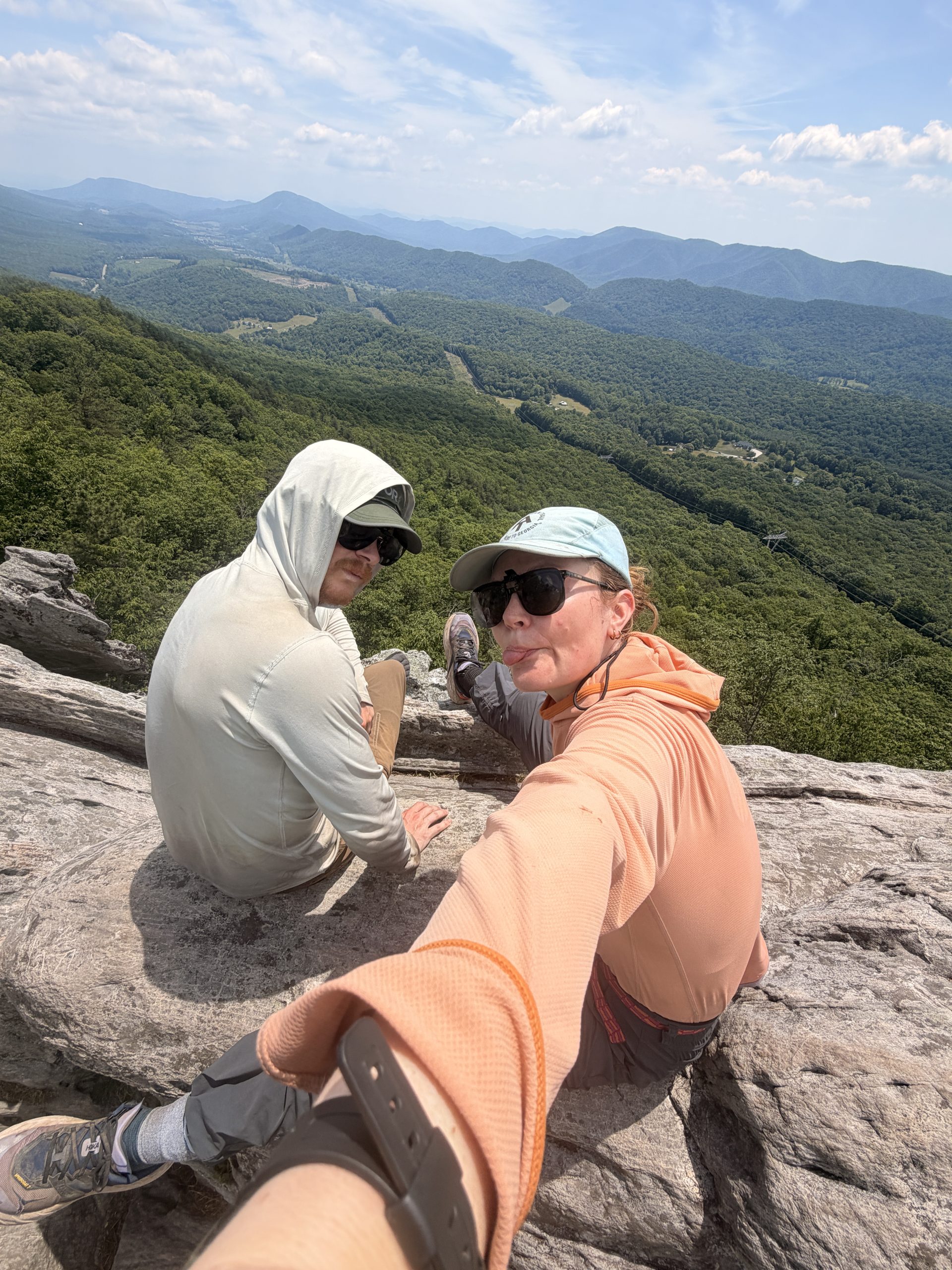
Jessie and I sitting on the Dragon’s Tooth.
Quite steep descent down The Dragon’s Tooth.
I ended up having to put my poles away and use my hands for a good portion of the descent. Although we were a little worried about injuries with backpacks on, it was fun to change the terrain. We reached the bottom without incident and had heard rumors of a magical trail waiting for us at the bottom.
A much happier Jessie with a hamburger.
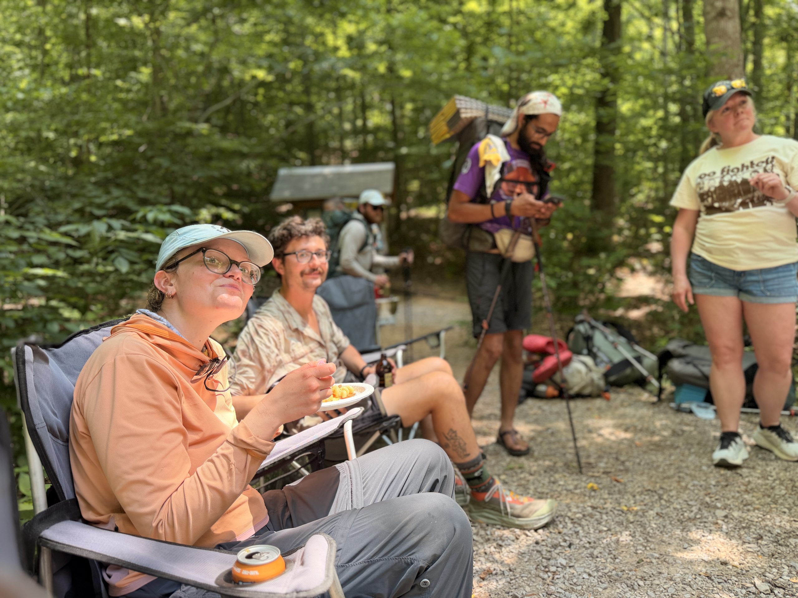
We arrived at the road and were greeted by Meg, Courtney, Kurt, and Tony, who offered us burgers, pasta salad, coconut water, sweet tea, cookies, fries, sodas, you name it. It was a much needed trail community after a pretty tough few days of hiking.
There is something about this section of Virginia that is daunting. Maybe it’s because you hear all that stuff about Virginia being flat and easy, and you think that has to come from somewhere real. It is a complete fabrication meant to give you false hope. I think I wouldn’t feel so bad if they told me directly. Virginia remains a challenge.
Anyway, it was the first time they did trace magic and they completely killed him. There are no words to describe how much I appreciate people doing everything they can to make our days a little better.
Speaking of which, we were just about done for the day because all we had to do was head to Four Pines, right down the street. Four Pines is a donation-based shelter that offers almost more amenities than some of the more expensive shelters we’ve seen along the way. We were more than excited to shower, do laundry, sleep, and hopefully go into town to buy some real food.
We were also very excited to catch up with Salamander and Big Dripper again the next day. All our high mileage had paid off and we would be able to see McAfee Knob and Tinker Cliffs with the tram back together. They left to go see a family friend in Roanoke, which gave us enough time to catch them.
I’ll cut it off there because it’s so long, but this trail is much better with a good group.

:max_bytes(150000):strip_icc():format(jpeg)/julia-lemigova-martina-navratilova-kids-062926-78eb1be9add5415f9f2882aa3f56e9ac.jpg?w=238&resize=238,178&ssl=1 "Lo que necesitas saber sobre los hijos de Martina Navratilova y Julia Lemigova")

:max_bytes(150000):strip_icc():format(jpeg)/julia-lemigova-martina-navratilova-kids-062926-78eb1be9add5415f9f2882aa3f56e9ac.jpg?w=100&resize=100,75&ssl=1 "Lo que necesitas saber sobre los hijos de Martina Navratilova y Julia Lemigova")


