

Another day, another day of big mile hiking. I could use a zero, but we have a schedule to keep right now, so alas, we walk.
Up, up and away
Last night we all agreed that this morning we would be hiking no later than 7am. So naturally, we left between 8am and 8:30am! Fortunately, the first 5 miles of hiking were pretty easy for the most part. Fairly flat or gentle terrain outside of a very steep descent on the outskirts of Salisbury. During those miles I also passed Giants Thumb, which is a giant thumb-shaped rock sticking out of the ground.
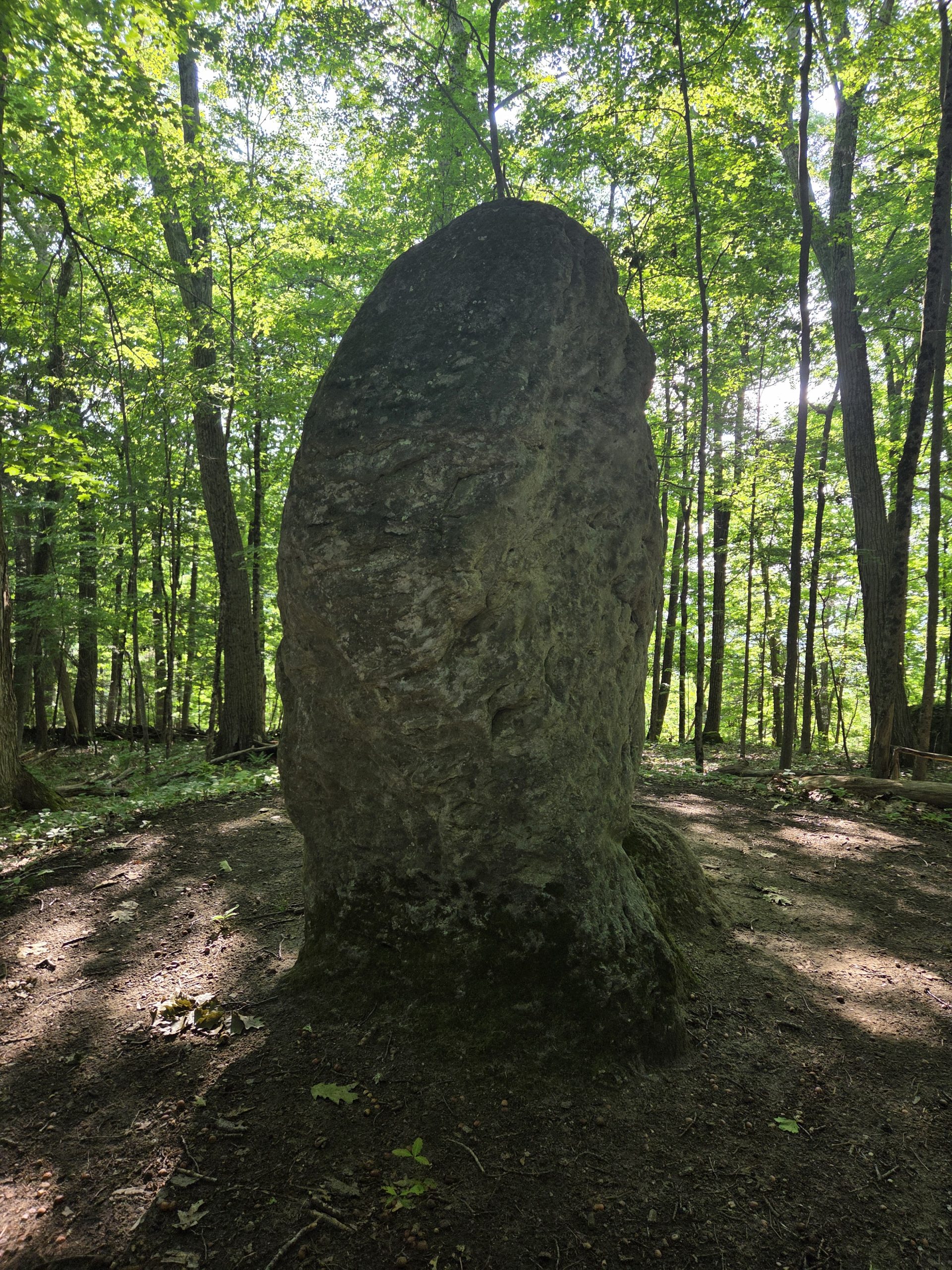
Other than that, I just rode those miles. Just outside Salisbury there was a bit of a path to walk, as well as walking through a couple of small fields, which was nice.
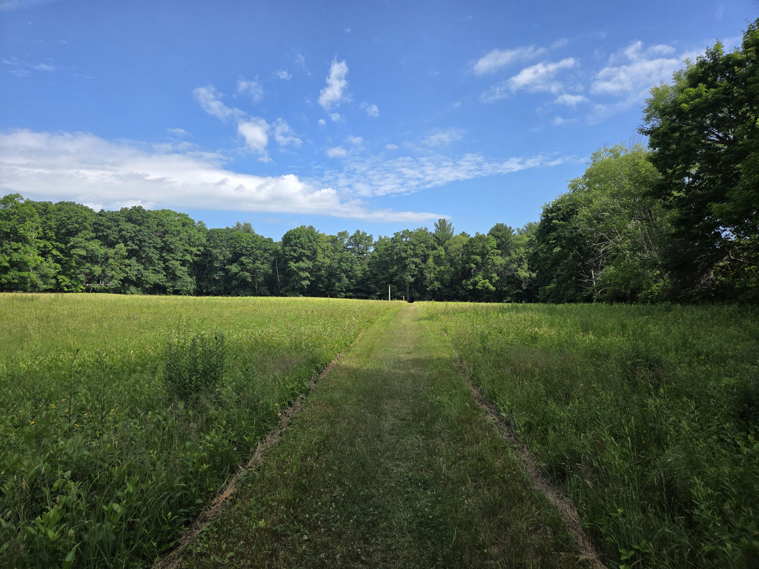
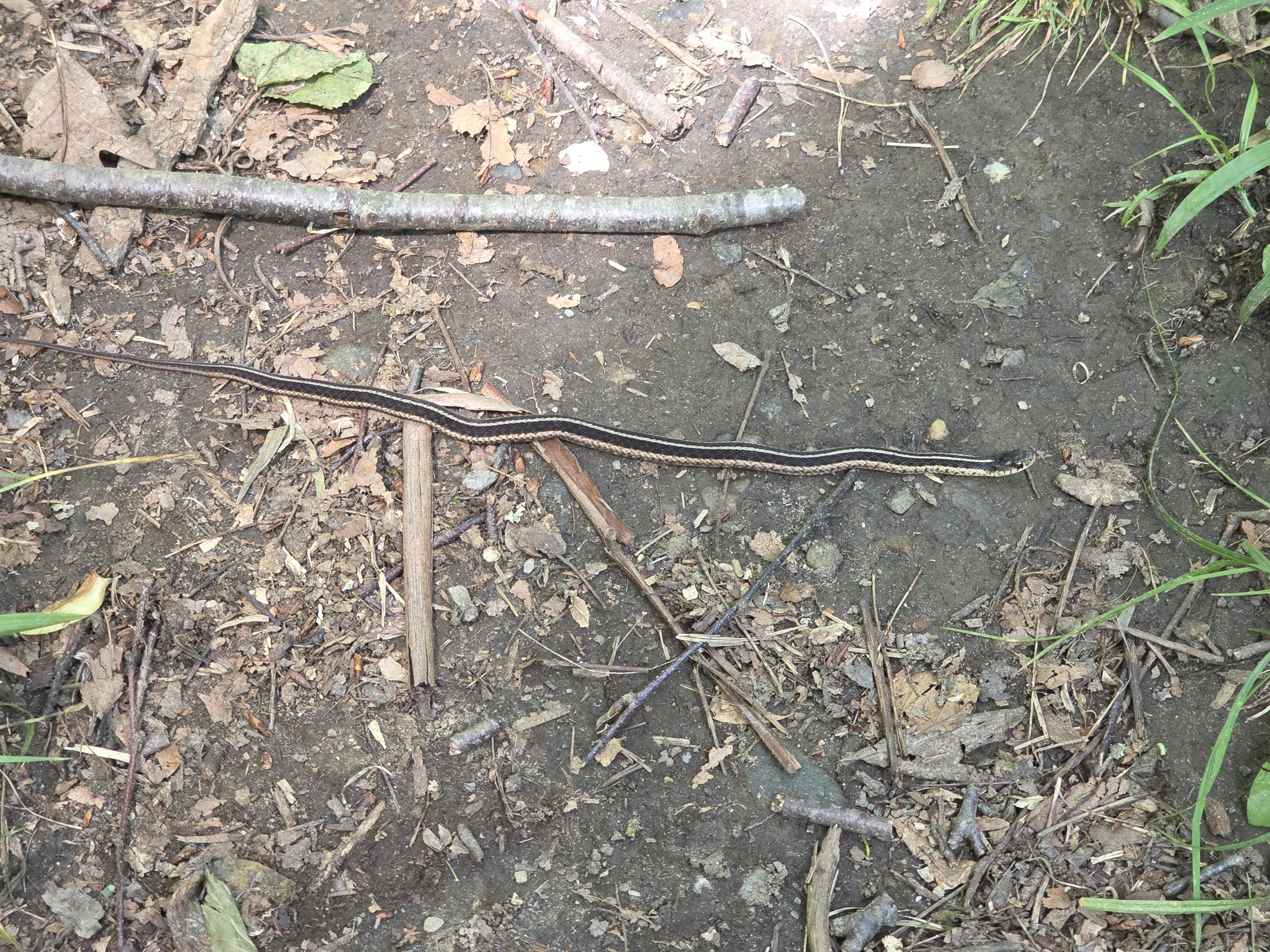
I then began the first of several major climbs of the day. The first corresponds to Lions Head. The climb up the first half of Lions Head actually wasn’t that bad for the most part, it wasn’t that steep and had some flat spots to break up the climb. Although it definitely became more pronounced in the second half. The snakes were definitely out there and I saw two of them during my climb. Fortunately, they are just small ones and completely harmless.
Entering Massachusetts
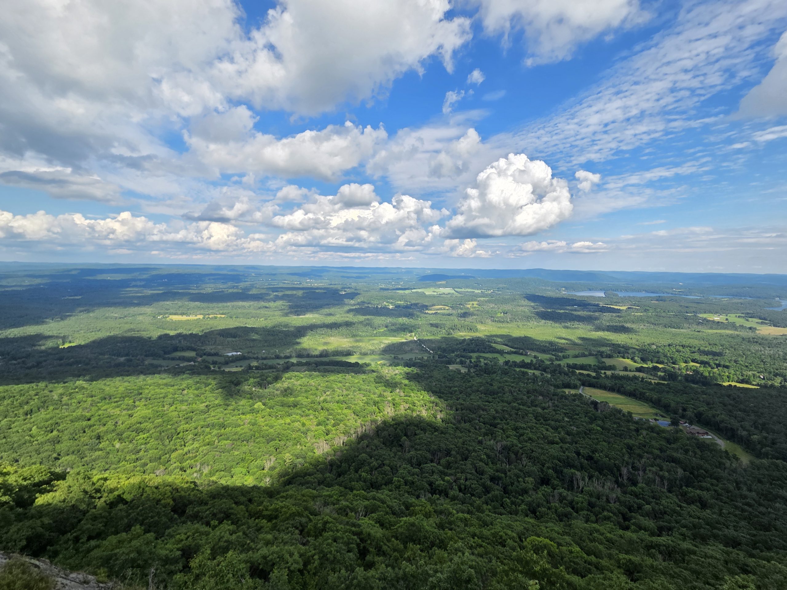
After Lion’s Head, Shooter and I stopped for a break at a stream to fill up on water and get some food. We then continued up Bear Mountain, the highest peak in Connecticut. We finished that climb pretty quickly and I was pleasantly surprised that it wasn’t harder. There was a pile of stones at the top of the mountain and we climbed to the top to see the views it offered.
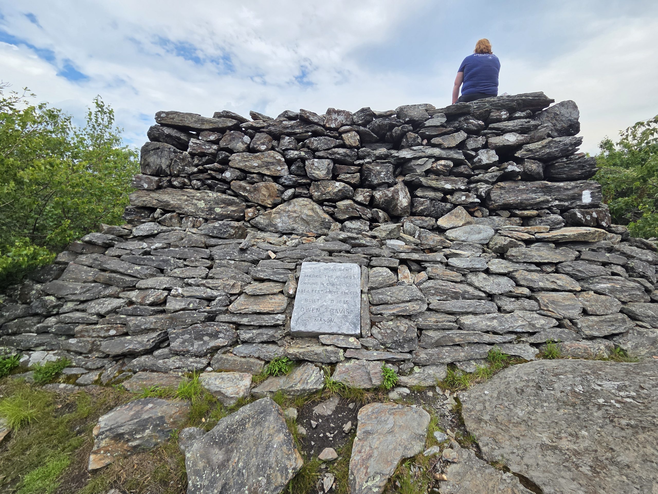
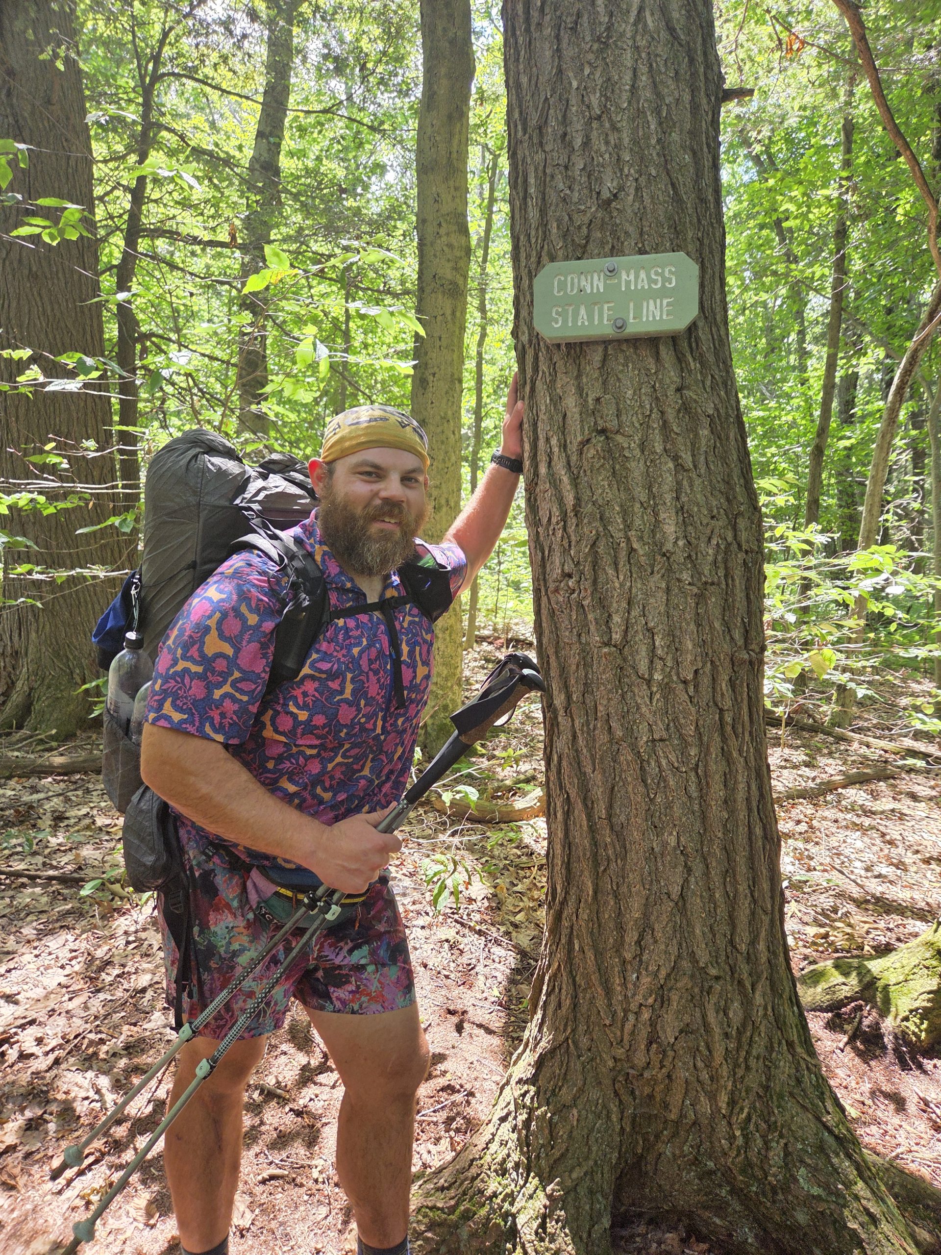
Happy with that, we descended the steep northern slope of the mountain. It was complicated at times, but it didn’t last long. Just as the terrain leveled out a bit, we reached the state line between Connecticut and Massachusetts, marking the completion of our tenth state and entering our eleventh.
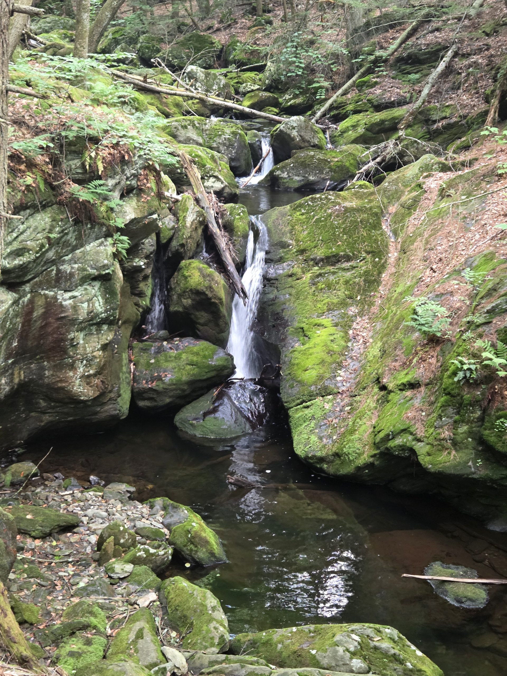
After that, it was only a short walk to Sage’s Ravine, which was a beautiful stream that ran down a ravine where there were waterfalls and pools.
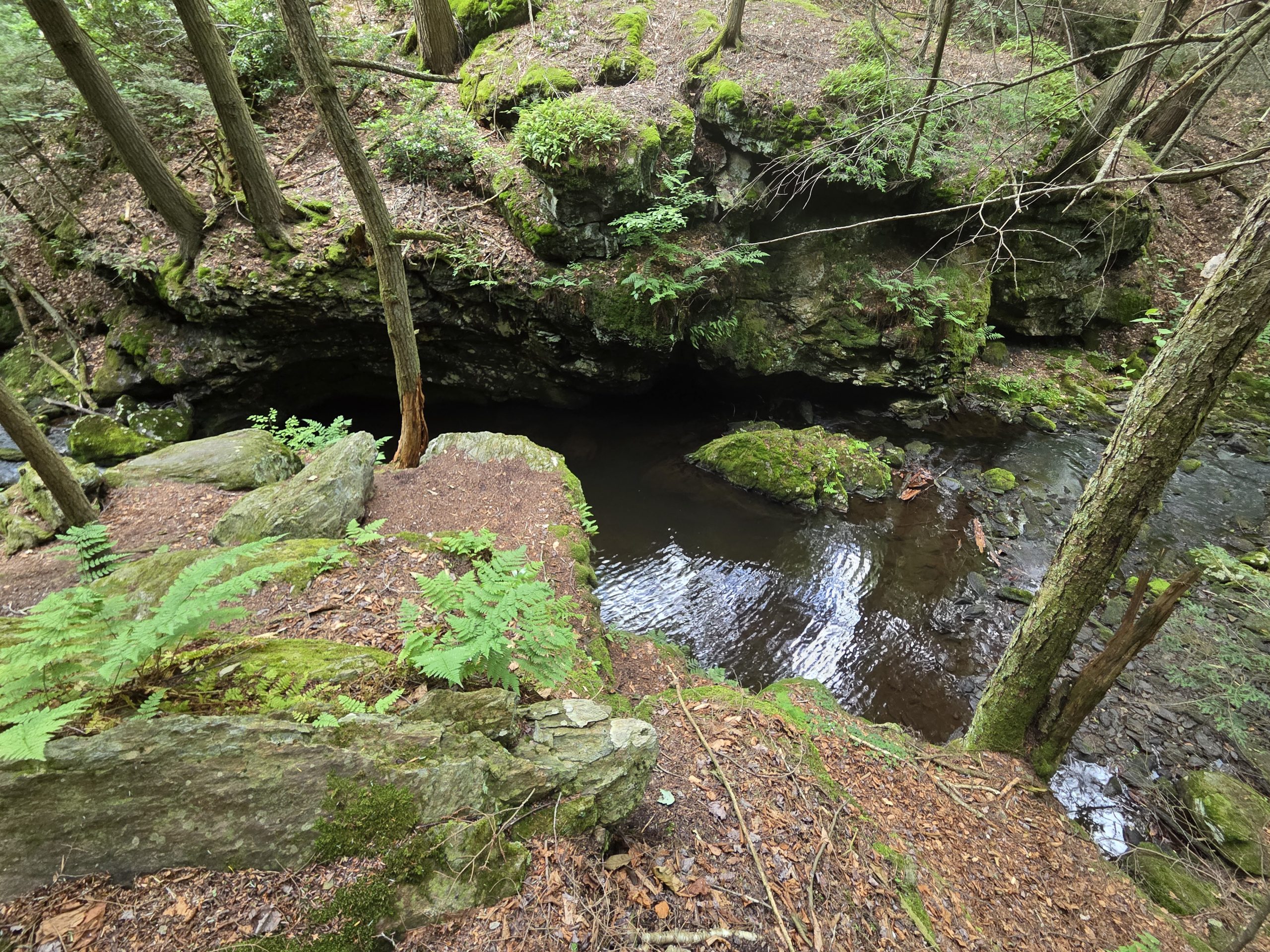
We found Birdie at one of the pools and took a lunch break with her. She had just finished swimming and we decided to do the same. I went in and cooled my feet in the cold water and enjoyed it until I noticed I had a tick embedded in my left arm by the elbow. It was a small tick, so small that I almost scratched it thinking it was just a black speck. But before I did that I noticed a little bit of red around the black spot. They finally removed the tick with tweezers, but it took a couple of tries as my first pull didn’t remove the entire tick. I hope that won’t be a problem for me in the future…
Up again
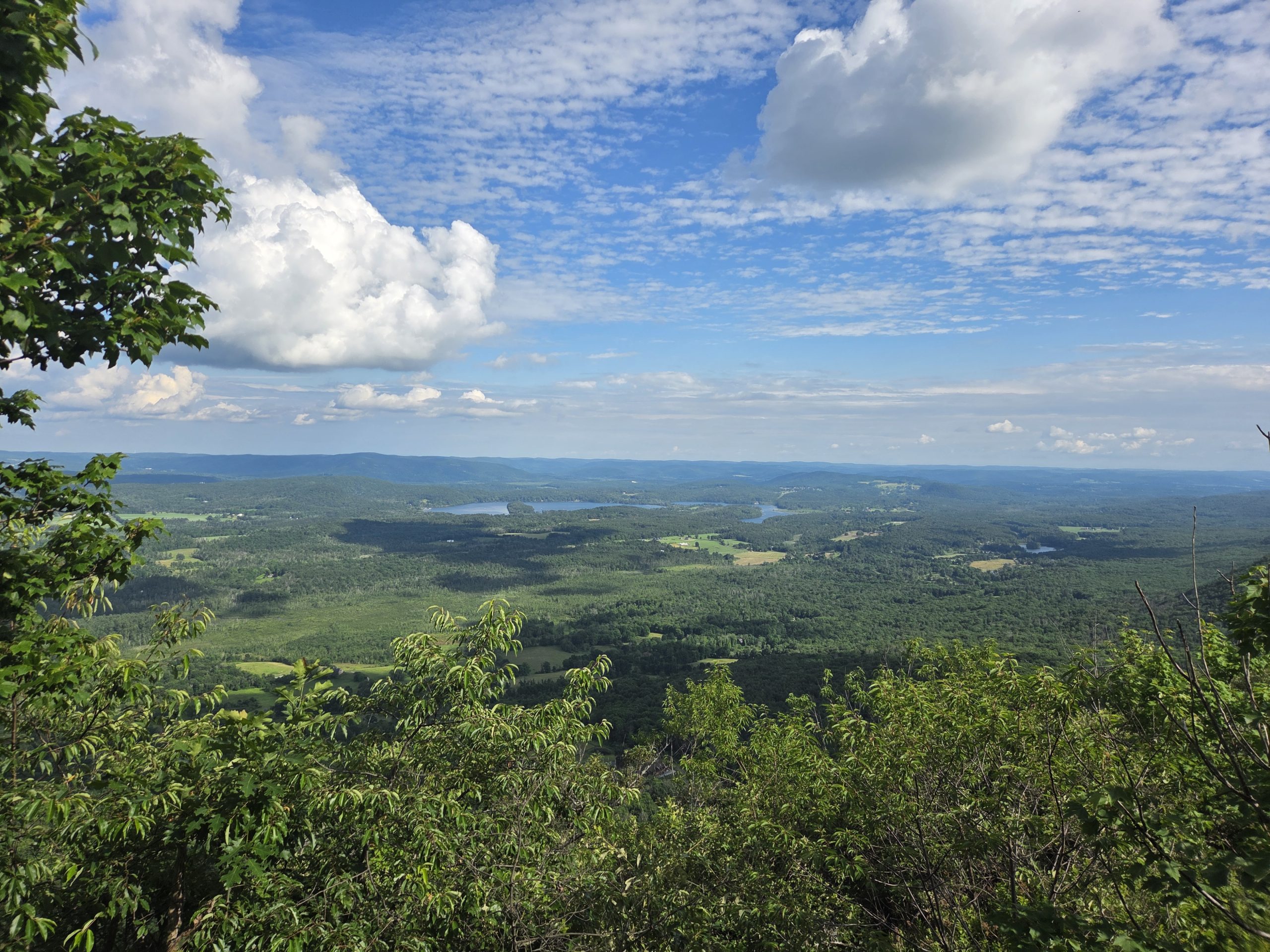
After taking a break of more than an hour, it was already after 3 in the afternoon and we still had a lot of hiking to do during the day. So we left again. Walking along the ravine remained a pleasant experience for the next half mile or so before we turned away from it. After that I had a long, steady climb up Mount Race which had some fantastic views near the top.
I felt good going up and was moving fast, but that quickly ended on the descent when I slipped on a slippery rock and fell on my pack. After that I slowed down and was more cautious with my step. After descending 0.5 miles, I was offered another climb up Mount Everett, which was much steeper than the previous one. After a bit of huffing and puffing, not to mention soaking all my clothes from sweat, I made it to the top. And I got minimal views… Which was fine, since I didn’t dawdle and moved on.
Surprises on the trail
The descent down Mount Everret wasn’t as bad as I expected which was a pleasant surprise and I reached a parking lot in no time. There was a water tank in the parking lot for hikers, which was much needed and appreciated. I only had a couple drinks of water left and most of the remaining water sources for the rest of the day look dry or dull. So Shooter and I drank a liter and filled our water bottles before moving on. At this point it was just after 7pm, so we took our headlamps out of our bags in preparation for the likely scenario of another night hike. Shooter got a little ahead of me and soon after I ran into a couple walking in the opposite direction. They asked me if I was friends with the boy they had just passed, to which I responded affirmatively. They told me they just gave him a few slices of pizza, so if I caught up with him I could probably get one. I ran down that path for about a hundred yards until I was turning a corner and heard hysterical laughter. Shooter knew they would probably tell me about the pizza and was just waiting for me to follow along, which I didn’t disappoint! Like a good farmer, food motivates me! We divided the three slices of pizza and screwed them together quickly and enthusiastically. The pizza was pretty good, with salami and peppers, a combination I wouldn’t have thought of but it worked.
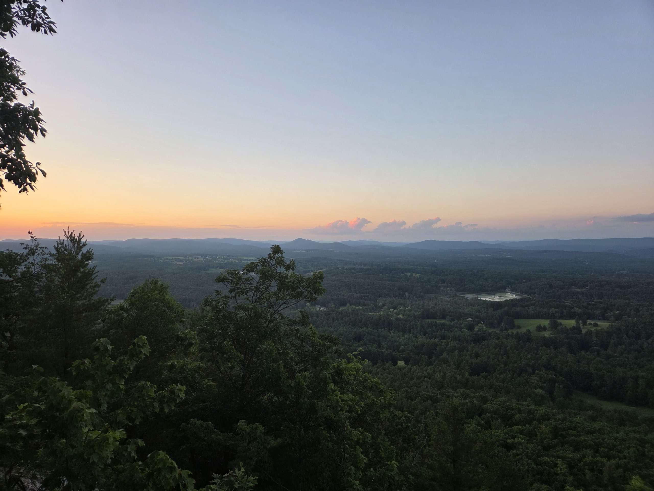
The rest of the night hike started downhill before transitioning into a steep descent that was trickier than expected. That ended at a road junction that marked the beginning of a fairly flat walk for the next few kilometers. At the road junction was another water reservoir so I made sure to fill my bottle as the next two streams didn’t look viable. The last two kilometers alternated between forested land and open fields. I finally finished my hike around 9:30 p.m.
Fin.
Statistics for day 104:
21.6 miles
4,633′ ascent, 5,157′ descent
Limestone Spring Shelter to Stealth Site
11DSLC…
Stove use times: 14
Snakes seen on the trail: 26
This website contains affiliate links, which means The Trek may receive a percentage of any products or services you purchase using links in articles or advertisements. The buyer pays the same price they would otherwise pay, and their purchase helps support The Trek’s ongoing goal of bringing you quality backpacking information and advice. Thank you for your support!
For more information, visit the About page of this site.