

Our departure from Diaz Creek was later than usual; Due to the intense cold, we all planned to sleep a little longer and wait for the sun to come out and thaw our tents and our bodies. Between 6:30 and 7am, we all staggered back to the trail.
The sun was already high, bright and warm, but we were still wearing each and every layer we packed; No wonder our backpacks felt lighter! It was only 26°F at dawn, but the sun warmed things up to 45°F by 7am. Diaz Creek went down a bit, so when we finally emerged, the trail opened up to soft sand, towering redwoods, and bright sunshine. By noon, we would be entering Kings Canyon and Sequoia National Parks, but first, we hiked ten miles to the halfway point and met at Chicken Spring Lake.
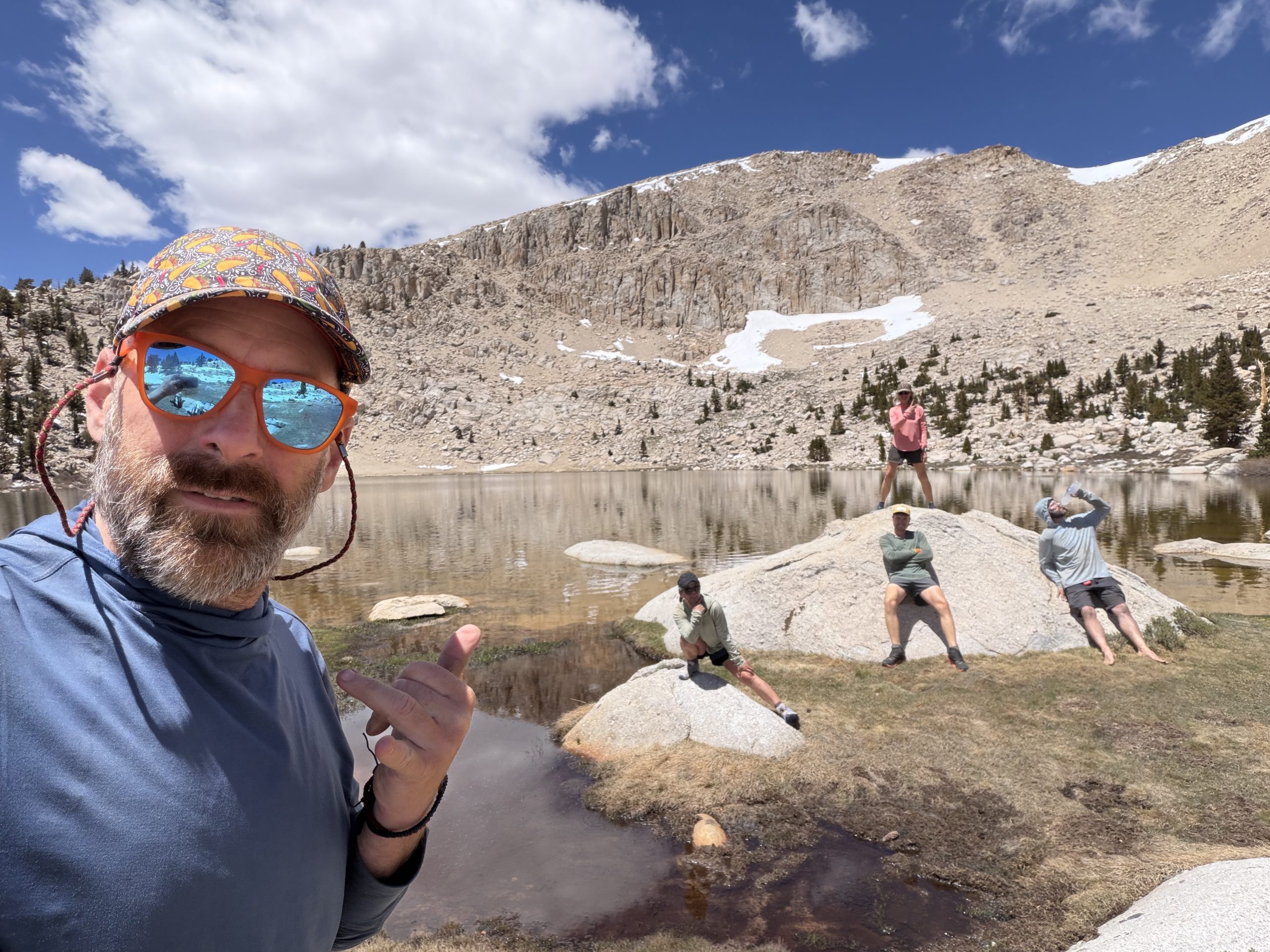
There’s supposedly a trail challenge where you have to cold-dive into each alpine lake indicated by a duck icon in FarOut, and we were all scared at the prospect of intentionally freezing ourselves. Apparently, the thaw on Chicken Spring Lake had occurred just a couple of days ago. Having Cupid in our group (he’s from the Netherlands, where this is pretty normal behavior) meant we had a constant source of encouragement. He kept telling us to jump in with both feet, not only in the water, but in our daily lives. Still, I wasn’t entirely sure I trusted him that much!
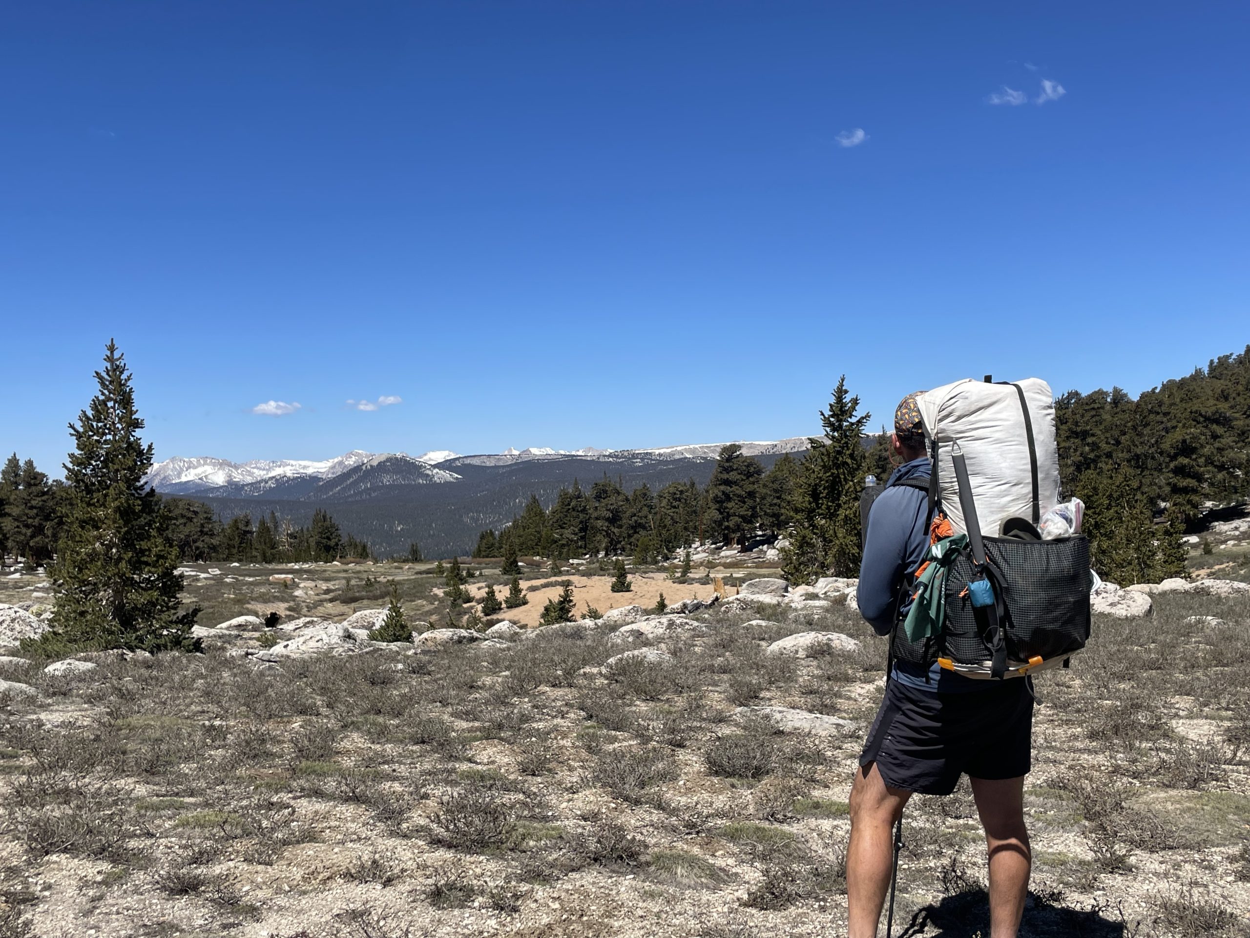
At just over 10,700 feet, the trail became dotted with jagged snowdrifts, a little soft, but still firm enough to avoid post holes. It was very manageable and that’s where the real fun began.
The landscape opened up to Big Whitney Meadow, which looked as perfect as a golf course in the middle of nowhere. A short trail later, we arrived at Chicken Spring Lake, a stunning frozen alpine lake located just outside the Sequoia National Park boundary.
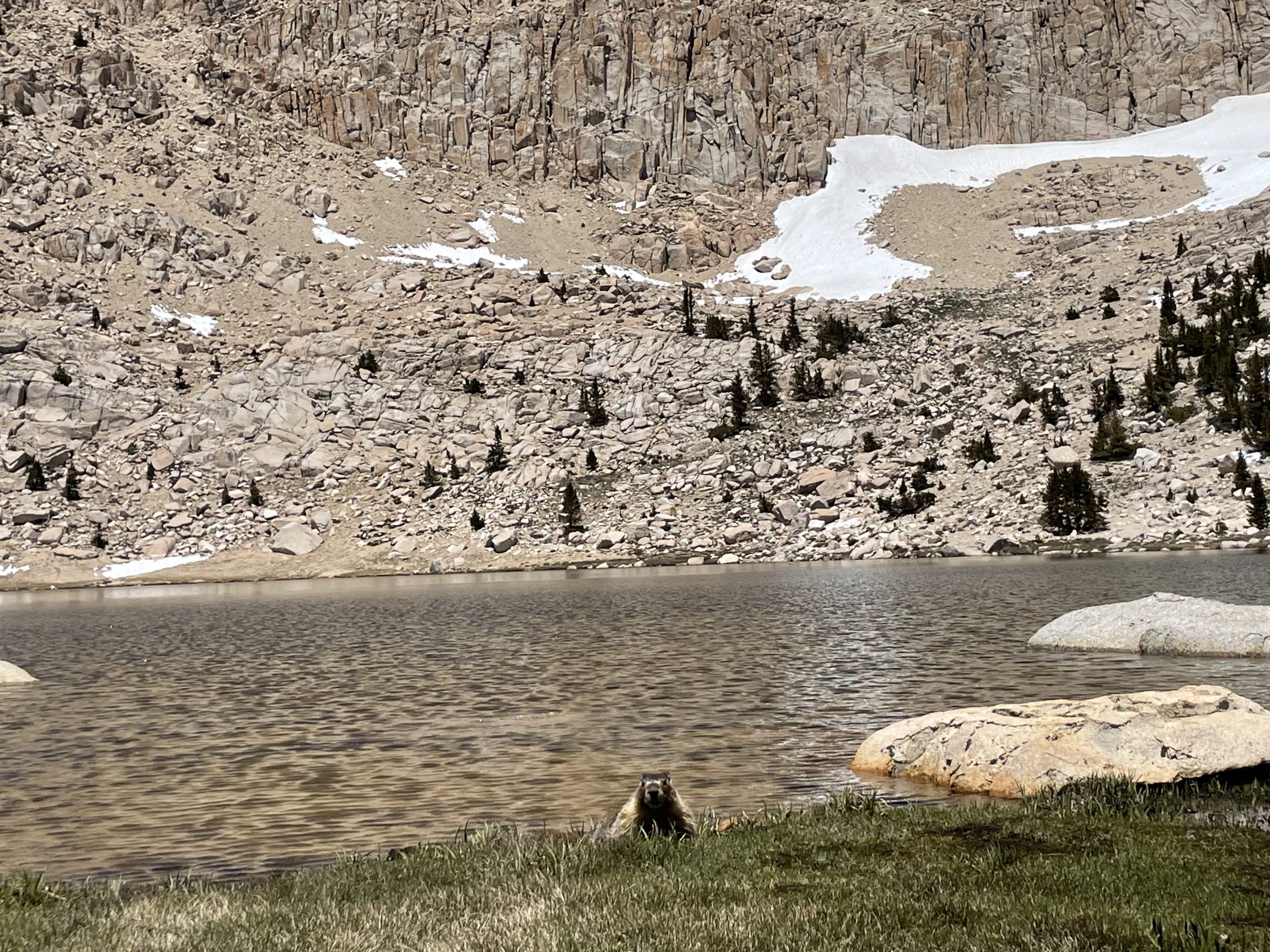
We all lay in the sun and watched the antics of two friendly groundhogs while we waited for Cupid to arrive so we could take the plunge together. It turned out to be an incredible experience, forcing our bodies and brains to slow down and truly embrace the natural wonders around us. In all of our adventurous life, I don’t remember stopping in the middle of the day for a couple of hours just to rest and relax. It was both a morale boost and refreshing. Apparently this is your reward for walking 702 miles through the desert, and we were more than willing to accept it.
We only had about seven miles left to reach camp, but each of us intentionally slowed our pace. We had all afternoon to get there and there was no rush. These are once-in-a-lifetime opportunities that many people will never be able to experience; However, we have the immense privilege of doing so. We also share an extensive “life list” that dictates that we never hike the same trail twice, meaning this would be the only time we would pass through here. It’s hard to put into words and no image can do it justice. Our only hope is that those who follow us feel one with us on this journey and that we are representing the PCT well.
At 11,425 feet, we reached the top of our highest point of the day. Views of the valley below opened up: vast, sandy, snow-dappled, and surrounded by high peaks, including Joe Devel Peak (13,330′), but there was still no view of Mount Whitney.
We officially entered Kings Canyon and Sequoia National Parks at 11,325 feet. This was the section of the Sierra Nevada we had hiked over 700 miles to see, and it was worth every step. With a short 6 miles to go, we descended to our campsite at Rock Creek and settled in for the night. It was a relatively short day at 18.5 miles, but relaxed, unhurried and easily one of the most memorable.
Tomorrow, the plan was to approach and camp 8 miles below Whitney Peak. But as midnight hikers approached, some of us harbored reservations about the itinerary and questioned the side mission to Mount Whitney. Who among us would go and who wouldn’t? I guess we’ll know in the morning.
Morning came and everyone went back to sleep a little later. We had a short mile day ahead of us to reach the Crabtree Ranger Station at the base of Mount Whitney. Over coffee and breakfast, NoCaffeine and I discussed our feelings about reaching the summit of Whitney and how it would prepare us for Forester Pass. The timing just didn’t add up.
The original plan proposed before leaving Kennedy Meadows South (between beers and good humor) seemed feasible. But now that we were in the Sierra, the reality of weather conditions, elevation changes, food supply, and altitude set in. To be honest, we were never excited about the idea of reaching the top of Mount Whitney in total darkness with headlamps at midnight, just to see the sunrise. It’s an iconic side mission off the PCT, but adding it to our itinerary required an 8-mile climb with 99 switchbacks, followed by a couple of hours frozen at the top waiting for the sun to appear. We would then face another 8 mile descent down those same 99 switchbacks to base camp, only to continue another nine miles to Tyndall Creek to prepare for Forester Pass the next day, all on little sleep and depleted calories.
The 40km day itself was never the problem; There was simply no guarantee that we could do it safely in the time frame we had. Plus, it prepared us to tackle Forester Pass in the afternoon, while the current snow conditions require you to be up by 10am to avoid post holes.
So NoCaffeine and I made the last minute decision to skip the summit of Mount Whitney. (Later, we would discover that there was a SAR operation at the summit the day before and another the day after our proposed summit day.) We never want to put ourselves in a situation that could alter someone else’s life just by saying «we did something.» We have a rule: if there’s a chance you’ll regret a decision, don’t make it. We have no regrets at all.
In the end, everything went well and our team will meet again in Bishop as planned. We dispersed in two different directions, wishing the rest of the group a safe summit.
With our new plan, we’ll get to town a day early and get a couple of zeros. Between the weight of our backpacks, the altitude, and the long consecutive days, our body feels the need for a rest. This will also be the ideal time to regroup and prepare for the next grueling stretch of the Sierra.
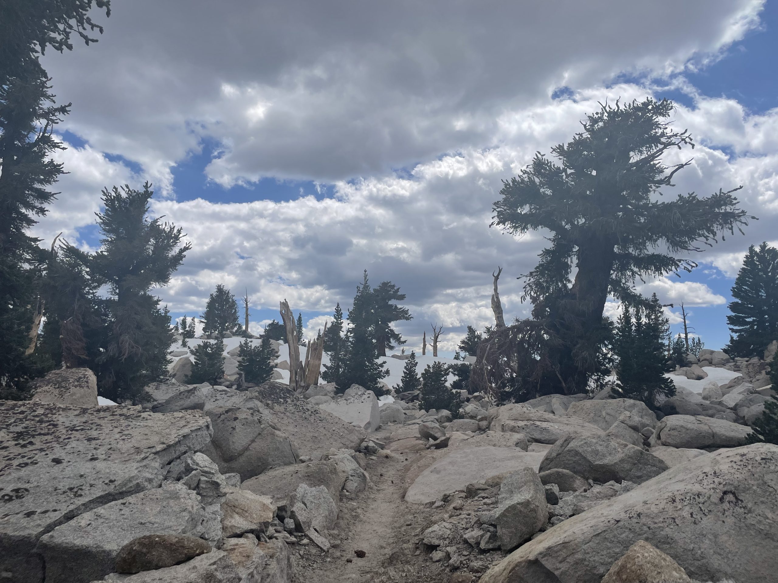
It was a calm morning with clear skies and panoramic views of the surrounding snow-capped peaks. The trail was beautifully lined with redwood trees and bright sunshine.
Cupid caught up with us and together the three of us ascended to 10,850 feet for an impressive ridge hike. So far, we have successfully crossed two water crossings by balancing on large logs. Our next water crossing, however, will not be so easy. From the looks of it, the water will come up to our thighs, but between the three of us we’ll get along just fine.
And we did it: we pulled our pants up to our knees, took off our shoes and socks, and put on our Birkenstocks. The water was freezing and reached our kneecaps. After a fairly steep 0.8 mile climb, we reached our fourth water crossing of the day. This was a super sketch: sailing over logs that became noticeably thinner and weaker as we approached the other side.
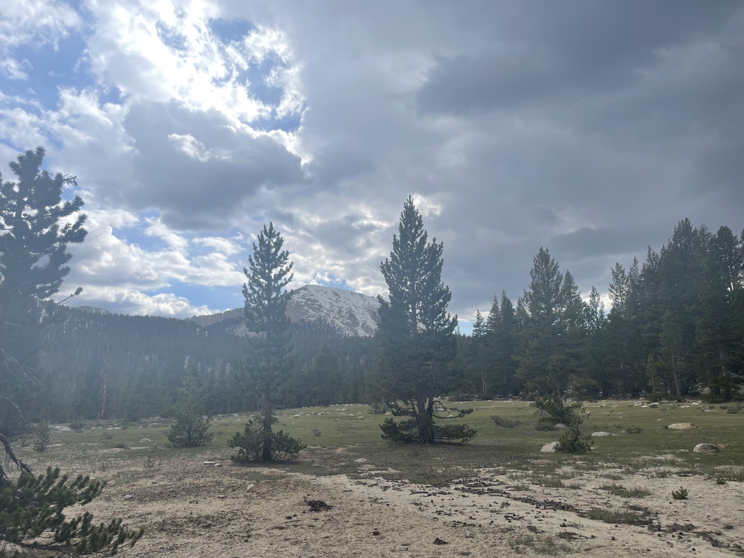
With gray storm clouds pushing through, the threat of afternoon thunderstorms became imminent. The eerie darkness covering Mount Whitney behind us, along with the random fall of snowflakes around us, completely solidified our decision not to climb.
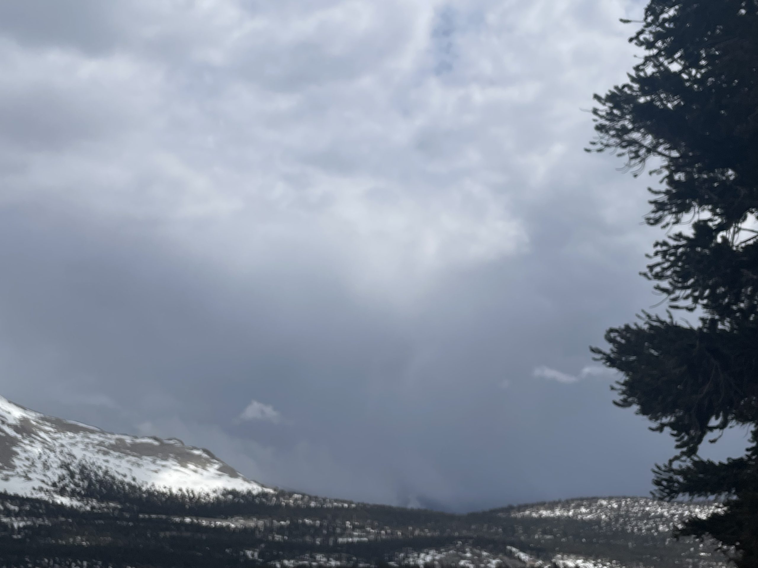
With Whitney now safely in our rearview mirror, we entered the Bighorn Plateau and found the most water we had seen in hundreds of miles. With patches of snow still covering the trail and a storm chasing us closely, we have 1.7 miles left to reach Tyndall Creek, preparing for an early morning departure over Forester Pass.
TO BE CONTINUED…
:max_bytes(150000):strip_icc():format(jpeg)/tyler-robinson-lance-twiggs-071026-c81484ab82244063940684ff75fac9e4.jpg?w=238&resize=238,178&ssl=1 "Tyler Robinson lloró después del asesinato de Charlie Kirk y dijo: «Desearía no haberlo hecho», dice su compañero de cuarto en una entrevista grabada.")


:max_bytes(150000):strip_icc():format(jpeg)/tyler-robinson-lance-twiggs-071026-c81484ab82244063940684ff75fac9e4.jpg?w=100&resize=100,75&ssl=1 "Tyler Robinson lloró después del asesinato de Charlie Kirk y dijo: «Desearía no haberlo hecho», dice su compañero de cuarto en una entrevista grabada.")