A flash of rays illuminates the forest around me, followed in a sprout of a brightness of rays and an increase in the intensity of the rain. «I am not sure of ‘above’ is the direction in which I want to go» I laugh nervously towards myself as I climb towards Mount Killington’s peak, the second highest mountain of Vermont.
Fortunately, there was a shelter just below the peak where I could rest until the Thunder continued, at which time I quickly uploaded and took some photos before Mother Nature decided to return with more thunder.
A fun part of this trip has been the dichotomy between feeling vigorized by physical training that this path provides and at the same time be humiliated by the raw force of nature. I can make longer days that contain more elevation gain while I still feel better than in the south before obtaining the legs of my paths, however, lowering a hill full of rocks still makes me nervous enough to stay more slowly due to the fear of the twisted ankles or broken bones. I can put more weight in my backpack, however, rain drops and muggies in general cause new and unique eruptions, raw points and blisters to form.
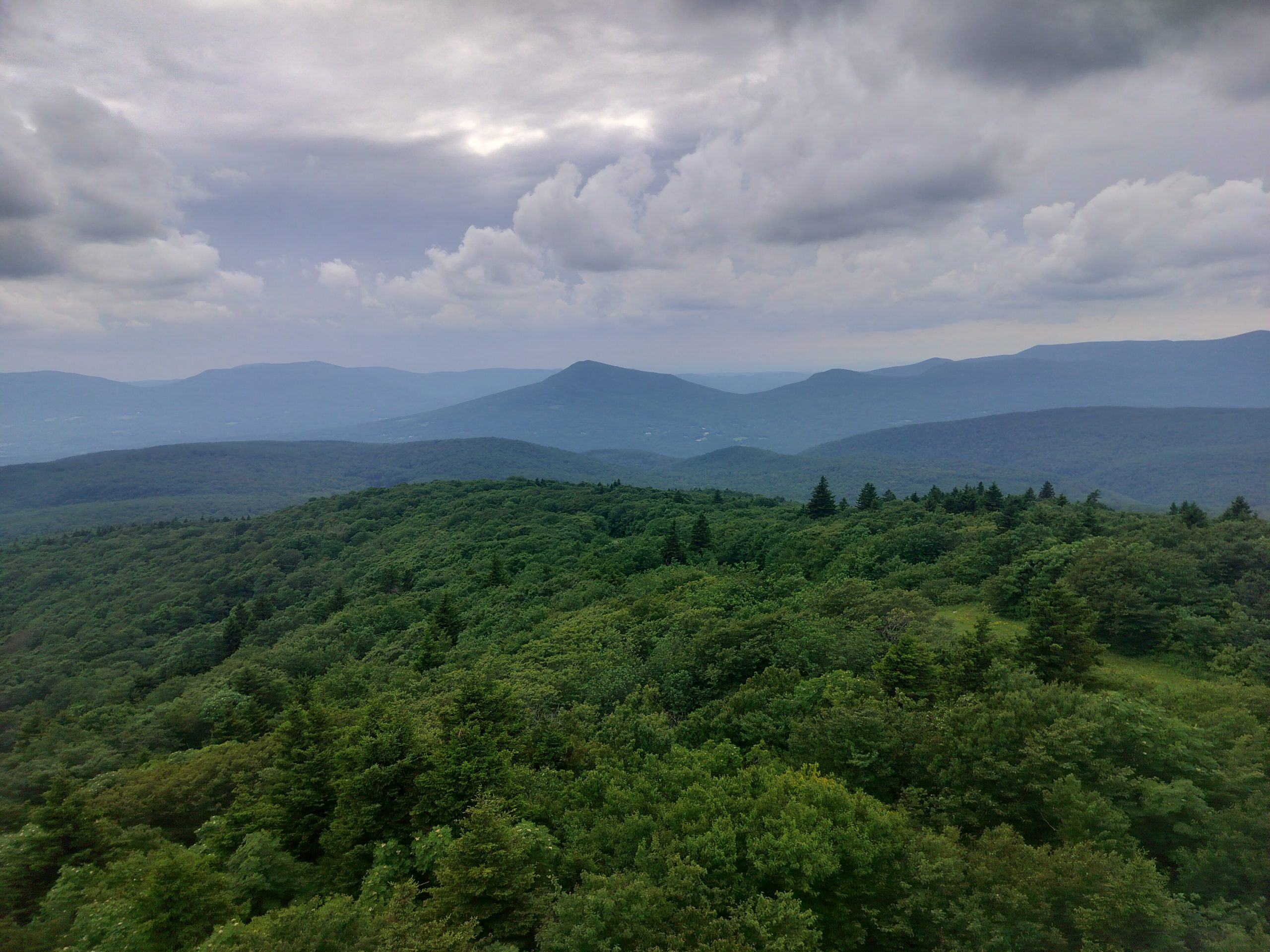
The most humiliating experiences are when cumbro in the peak of a mountain and looked at the desert around me. Even after months of walking, seeing so wild evokes astonishment for the greatness of this land. Remember an Anatoli Boukreev event: «The mountains are not stages in which my ambition to achieve, they are the cathedrals where I practice my religion.»
The white mountains
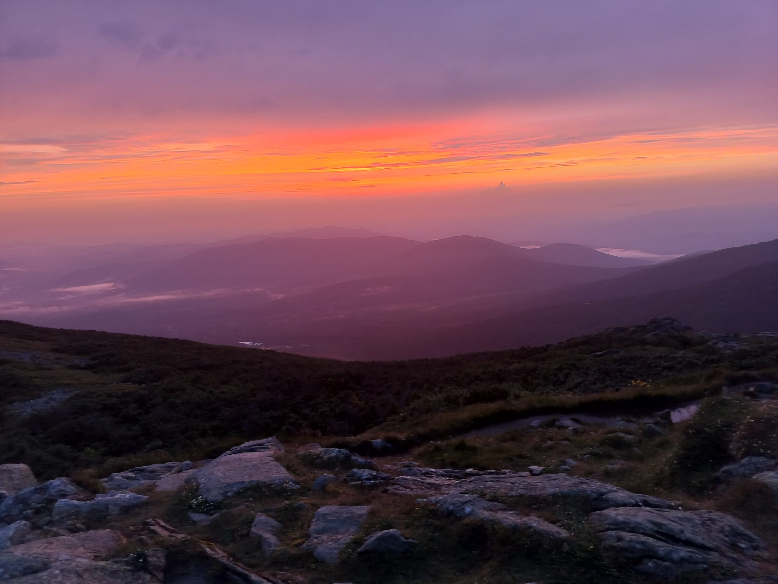
There have been some sections of this path for those that have pumped me from the beginning, and one of them was the whites. He was excited to see if the range would live up to his reputation as robustness, and surrendered absolutely. The hills were deliciously high to the point that I could go on Teline for a couple of times.
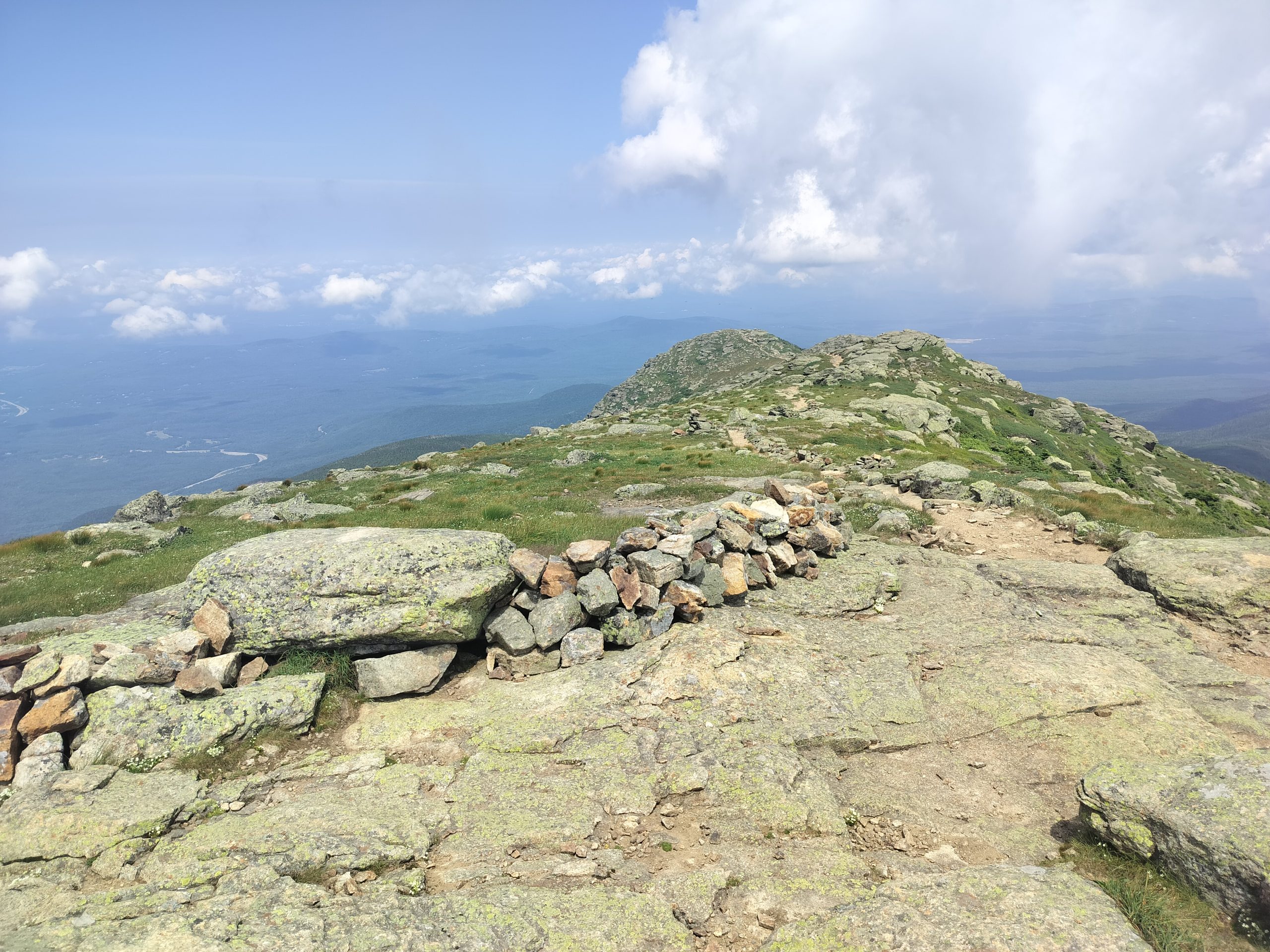
This era Fraconia Ridge, where I could see where I would walk through miles, with constant views around him.
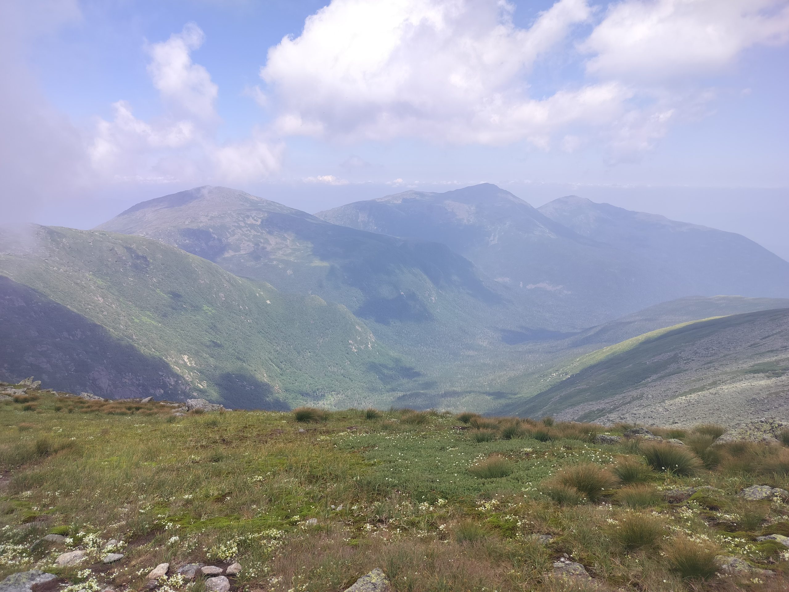
Walking through the presidential. This section has approximately 13 miles long, all above the tree line.
Whites are mainly known for having 2 characteristics. The first were the views, and the second was the intensity and size of the lifting changes. The climbs for these mountains were incredible, and there were a couple of times when I ended up keeping the trekking posts to throw more easily along the rocks. This was especially true for the toughest mile of the AT.
Entering Maine
Mahosuc Notch is on the outskirts of the white mountains, and it is what hikers have called the toughest mile of the AT due to the jungle gymnasium of large rocks and caves it contains. It is also within the first 10 miles to enter Maine, so it was a fun way to be received by the final state in the AT. Although only one mile long, it was wonderful to pass.
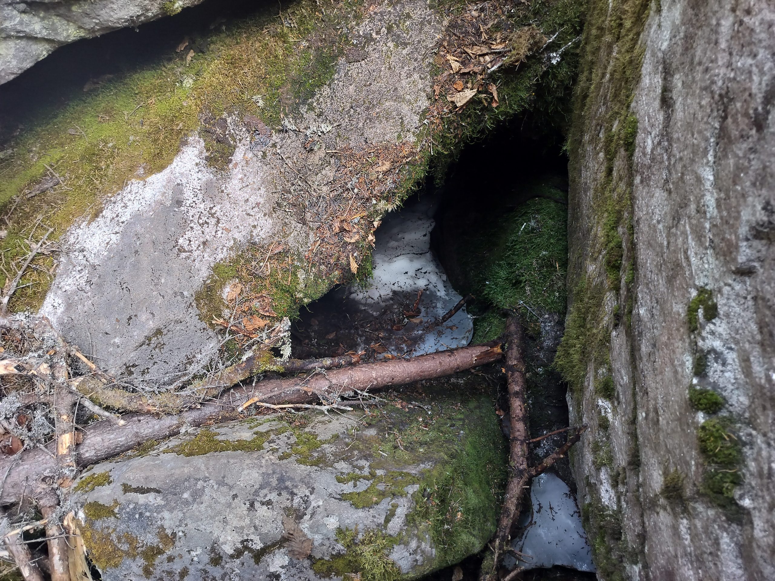
The mile is contained in a river valley, and perhaps it had 10-15 degrees colder than the surrounding area. I saw some snow between some of the rocks while going through this in mid -July.
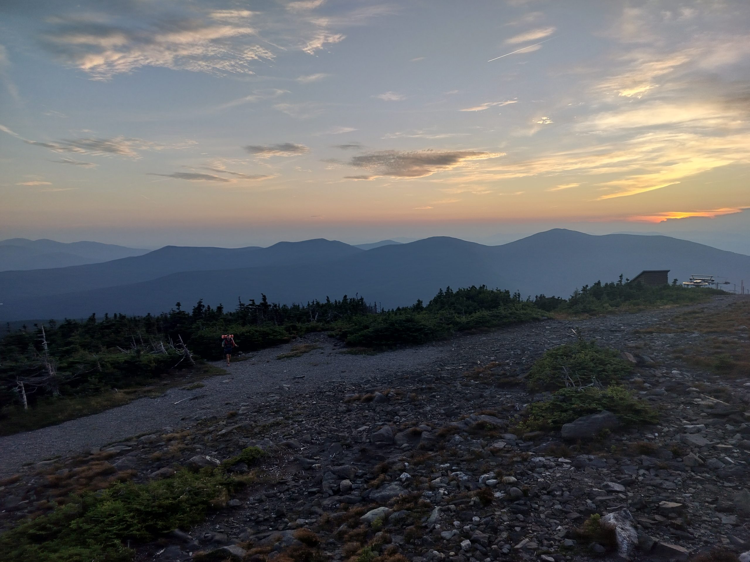
The rest of Maine (until now) has also been excellent, with a ton of transverse land interest combined with more open views.
Maine as the final state
It is strange to know that I am starting to close the last sections of this path. At this point, «only» I have around 200 miles before the top. Before trying to walk through the AT, this last section would have been described as my long walk. Now that distance is a fraction of what I have covered. Time is a beautiful resource, and there are some mixed emotions that know that my trip on this path has ended almost.
That what will come is as wonderful and glorious as what has been,
Gambit
This website contains affiliate links, which means that the walk can receive a percentage of any product or service that you buy using the links in the items or ads. The buyer pays the same price that would do it differently, and his purchase helps to support the continuous objective of the walk to address his quality backpack advice and information. Thanks for your support!
For more information, visit the page about this site.


:max_bytes(150000):strip_icc():focal(749x0:751x2)/Ariel-Lett-makeup-120925-6171442c1efd48edb8ee4cef2d86fea2.jpg?w=238&resize=238,178&ssl=1)

