
Day 1: Miles 0-16.2
It’s actually time! After so much planning, waiting, stress, nerves and excitement, I am taking my first steps on the Colorado Trail. I’m now officially a hiker!
The sign I’ve seen in so many photos, except now I’m the one standing here!
I started from the Waterton Canyon Trailhead at 5:45am early to beat the heat, and the plan was to go about 13 miles today. However, upon reaching mile 13 at noon, and realizing that I was running out of water and there were no springs nearby, I decided to continue to the end of segment 1, at the Platte River. Ultimately doing this was the right decision as it was amazing to soak my feet in the river, drink some cold water and I got to meet a group of people who also stopped here for the day.
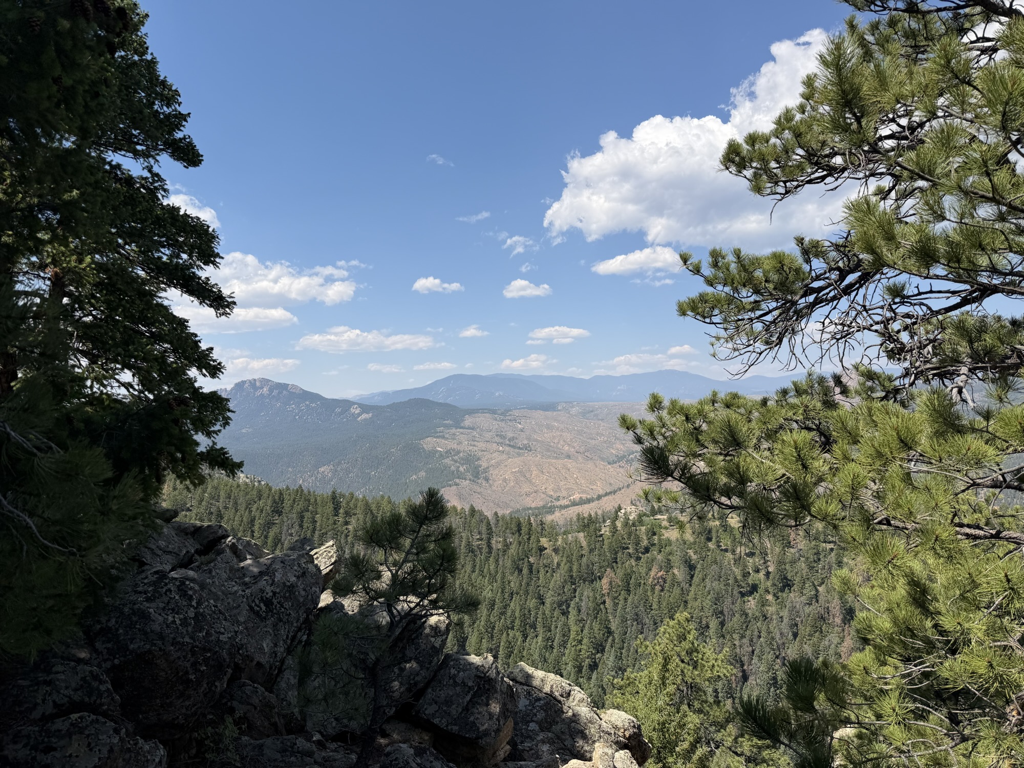
A great place for lunch
Unfortunately, my plan to be out of the canyon to avoid the heat completely failed, as due to my pace I was back in the canyon during the hottest and windiest parts of the day. Finding a campsite that was shaded and protected from the wind was impossible, so I opted for the latter of those two features so I could set up my tent without it blowing away.
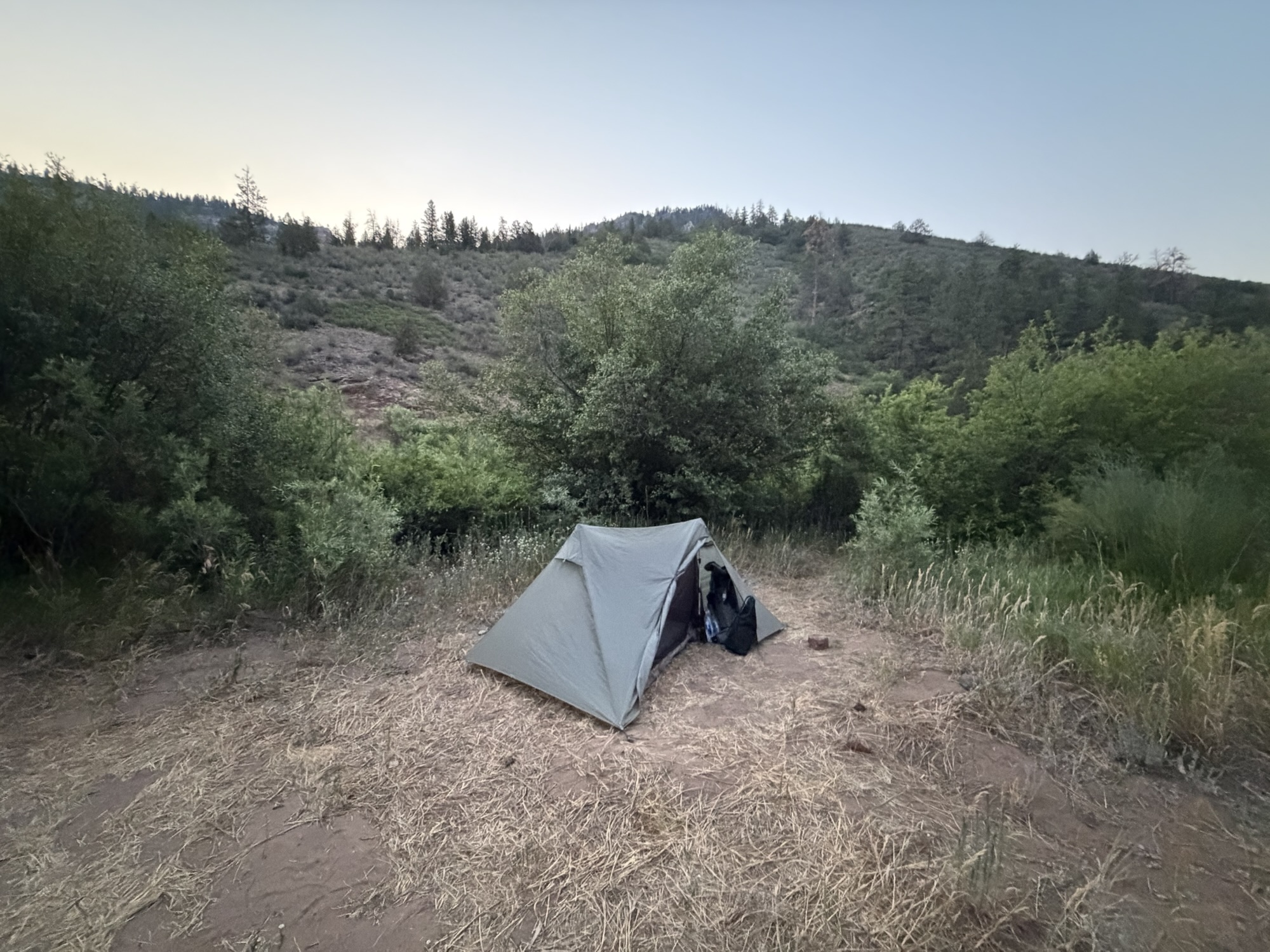
The first tent plot! Not bad at all if I say so myself.
Day 2: Miles 16.2-28.0
For the first time I can remember, I slept well in the field on night 1. I only woke up a few times during the night and was able to fall back asleep. I finally got out of bed around 5am, packed up and started on segment 2.
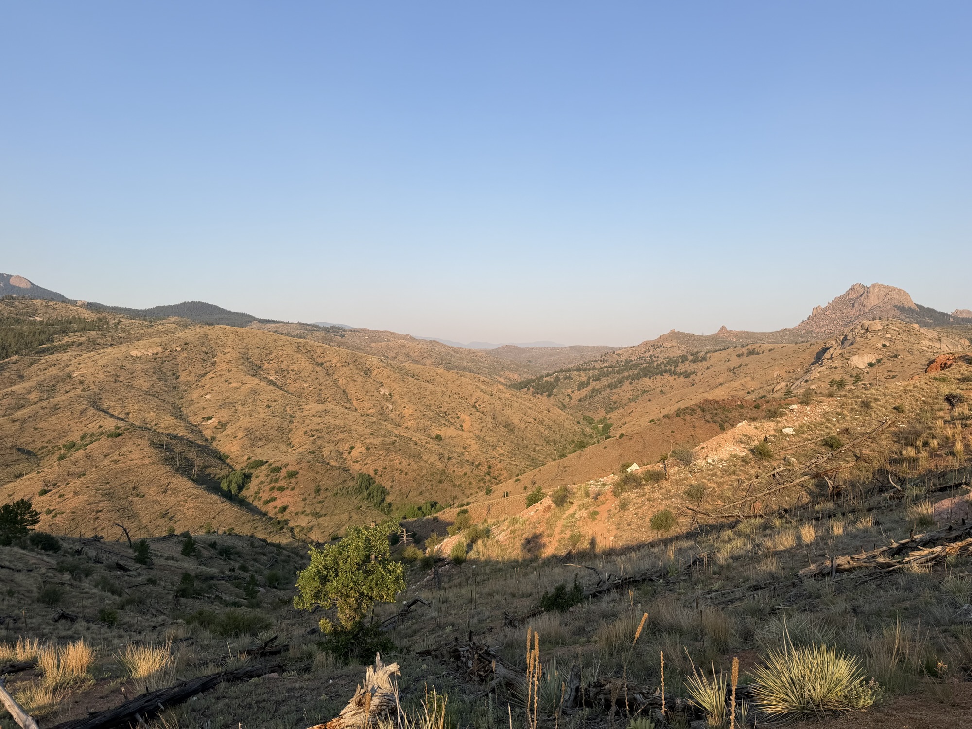
Viewpoint across the burned area
This segment was very dry, hot and exposed due to a 1996 fire that left a huge burn scar. After 10 miles, I arrived at the fire station, where I met up with a group of other hikers, refilled some delicious water, and charged my phone a bit. After spending a few hours there, I left with Harry (GoGurt), his mother Molly, and his dog Nebo. We went about 2 more miles before we found a campsite and I was able to make a phone call to my parents because we had 2 bars of cell signal.
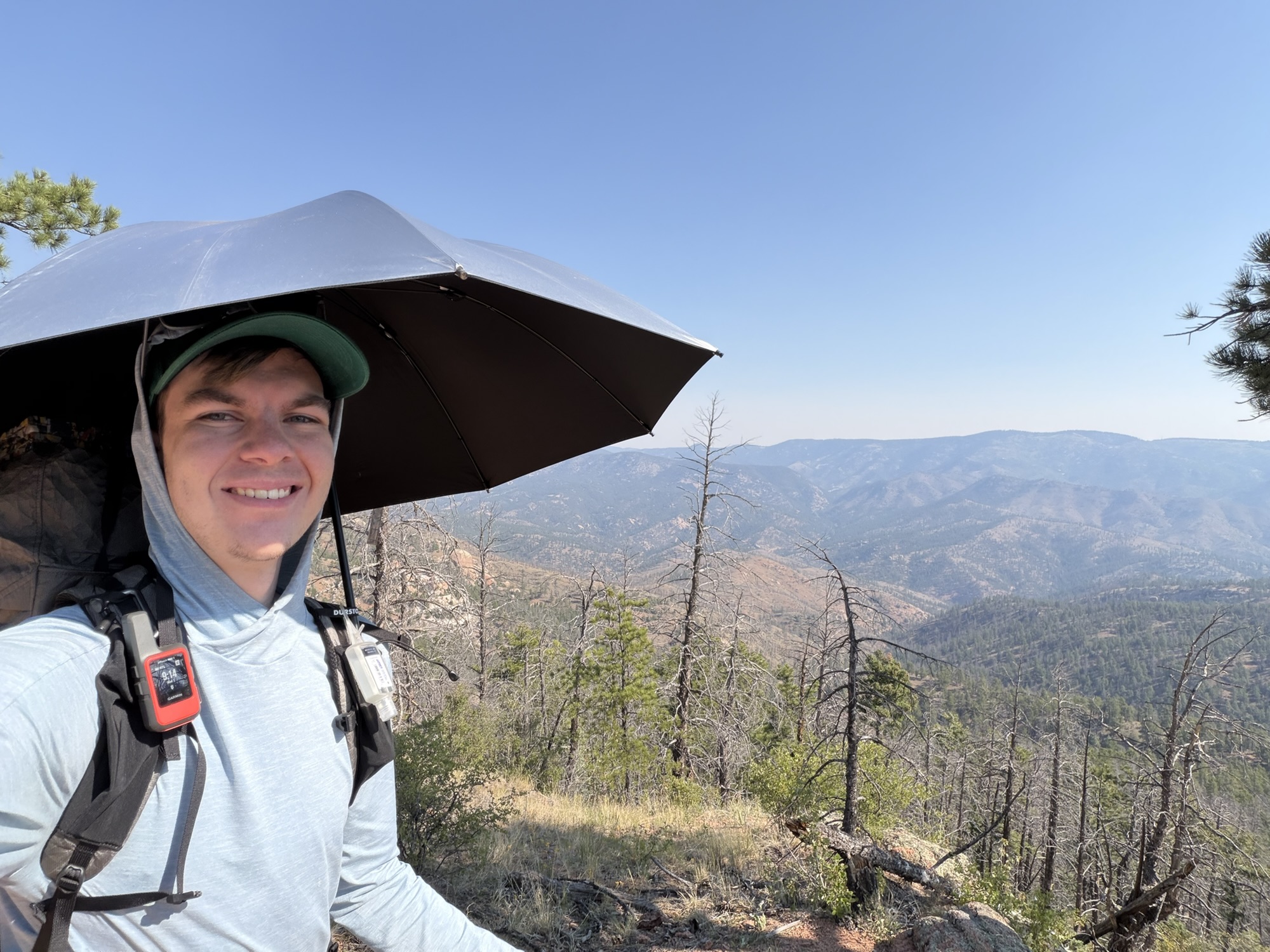
The umbrella was very useful in this segment!
Unfortunately, I was so exhausted and relieved to get to the fire station that I completely forgot to take any good pictures or videos while I was there. Despite that, my body feels good and I’m ready to keep moving!
Day 3: Miles 28.0-40.0
Today is the first day of the city! I woke up and walked about 7 miles to the first good water source from the fire station, where I met up with Caboose, Jess, GoGurt+Molly+Nebo, and a few others whose names I didn’t catch. After a quick recharge, foot bath, and snack, I walked with Caboose the last 5 miles to the trailhead, and she was super fun and interesting to talk to! Continued toward Breckenridge while doing a section of hiking, but an angel named David gave me trouble at Bailey, where I found One Shoe, Millipede, and Spencer.
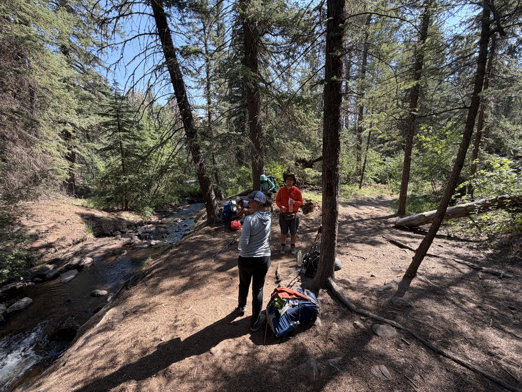
Great encounter while you recharge at Buffalo Creek
I managed to get the last available bed in the hostel, so I was able to do laundry, take a much-needed shower, and use the borrowed bikes to get to and from the city. For lunch I got a South Park Coney Island hot dog and talked to One Shoe about the pilot life, which is something we had in common! The three of us had dinner together, then Millipede and I ran to the gas station to buy snacks and quickly resupply. The plan now is to get to Breckenridge in 4 days and then probably jump to the twin lakes past the fire section.
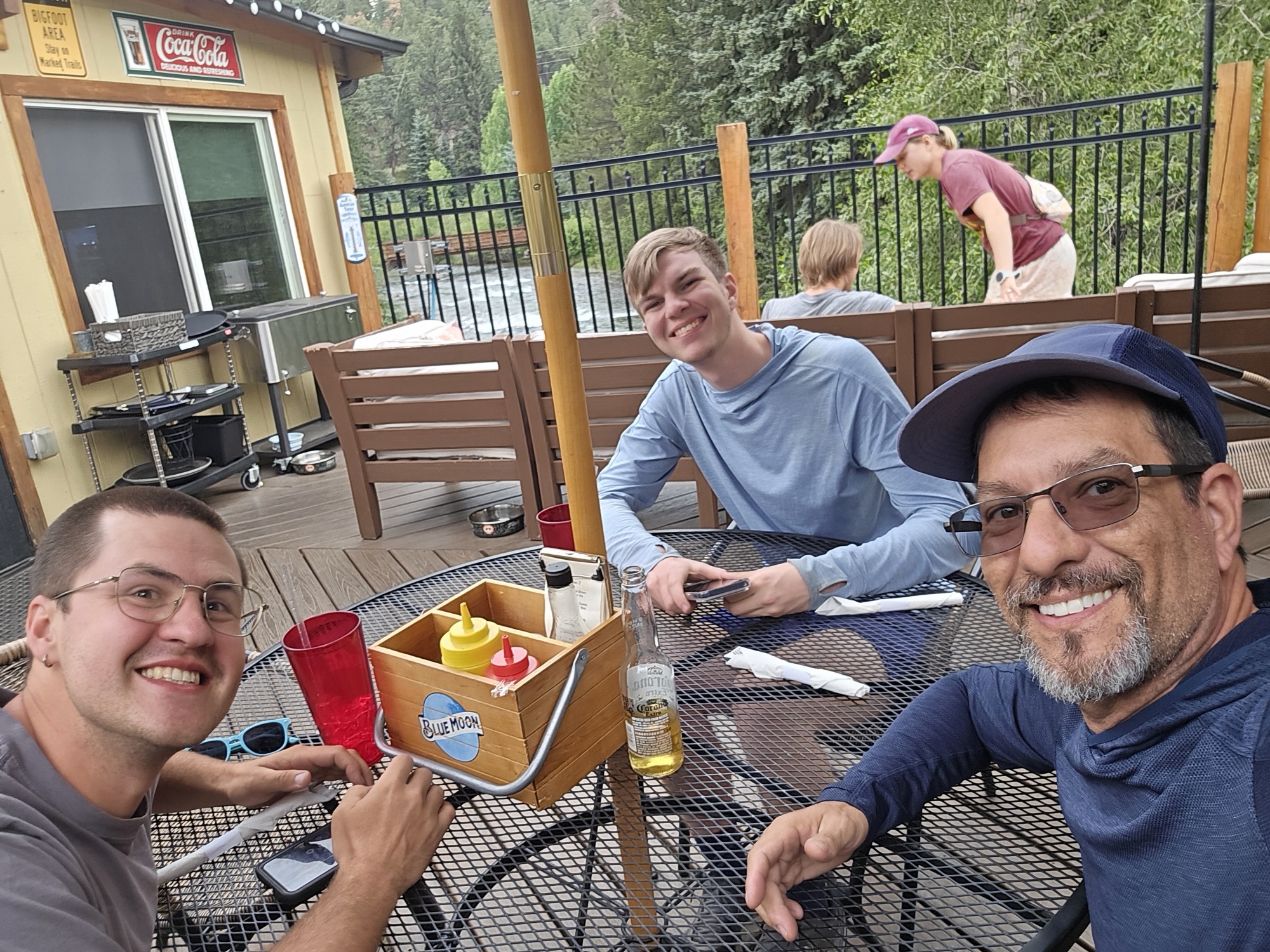
From left to right: Millipede, One Shoe and I having dinner at Bailey’s
Day 4: Miles 40.0-54.3
In segment 4, we pay the tax to the trail gods for having a nice early day in the city. After a great breakfast at Bailey, Millipede and I headed back to the trailhead and were immediately faced with about 2,500 feet of gain directly from the parking lot. It was very slow progress and our late start did not help our cause. However, after some delicious cold water at the high point and a relatively quick descent, we found ourselves in the meadow. A beautiful open expanse of tall grass, bushes and wildflowers, along with some clean water features with beaver dams. This meadow continues for about 8 miles where you walk right next to the Lost Creek Wilderness Boundary.
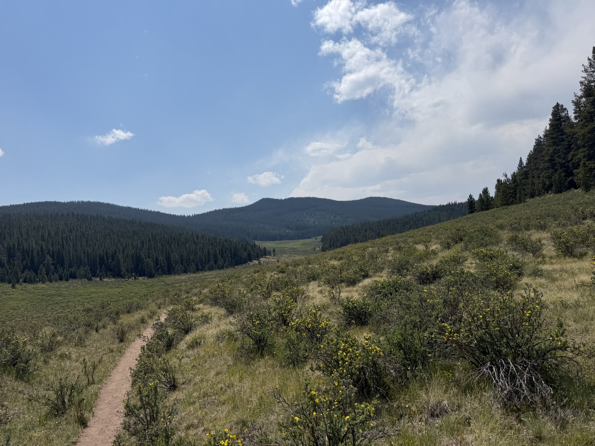
We took a lunch break near some campsites around mile 9 and then moved on another 4 miles to the next good water source. We were so exhausted at this point that we decided to make dinner right there at the water source to save ourselves having to do it as a camping chore later. Those calories really helped propel us the last 1.5 miles to where we ran into GoGurt again, as well as a couple who were hiking a section. The late start, slow miles, and meadow exposure made this by far the hardest day of hiking so far, but for now at least I can sleep like a baby.
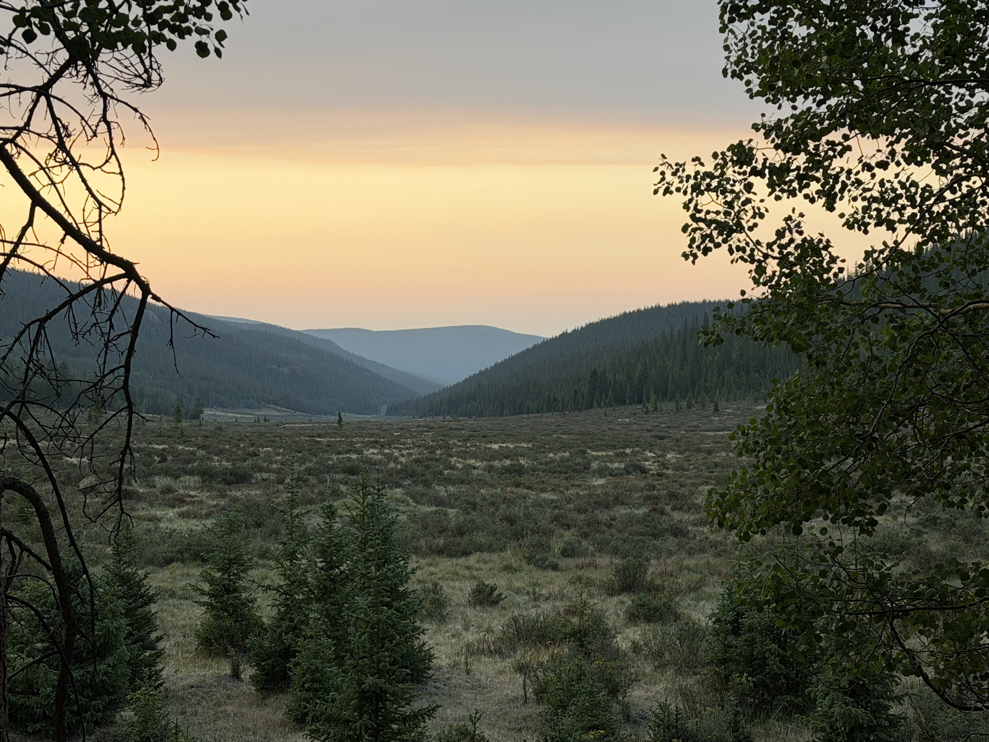
Beautiful sunrise view from the campsite.
This website contains affiliate links, which means The Trek may receive a percentage of any products or services you purchase using links in articles or advertisements. The buyer pays the same price they would otherwise pay, and their purchase helps support The Trek’s ongoing goal of bringing you quality backpacking information and advice. Thank you for your support!
For more information, visit the About page of this site.