
Thursday June 4, 2026
I fill the day with kilometers, climbs and views. I fill myself with brownie flavored ice cream.
All aboard
TOAfter starting at 5:00 am and walking 27 miles yesterday, I was sure I would sleep in this morning. Even the pesky birds decided to take the morning off, leaving the forest morning quiet for once. I fell asleep quickly and stayed asleep all night. I left my tent only once when I felt like I couldn’t sleep anymore. Interestingly, I saw that it was still before 7:00 am. I thought that starting earlier than expected wouldn’t hurt. Plus, it was a little cold and I knew I had a big climb ahead of me, which would quickly warm me up.
Day of three climbs
Total miles and total ascent are two metrics for evaluating the difficulty of a given day’s hike. I’ve been noticing another pattern that often dictates how I perceive the difficulty of a given day. I look at the number of major climbs throughout the day’s itinerary. I define significant as approximately 1000 feet or more. A zero day or a climbing day is a walk in the park. A day of two climbs is about average. Today is a day of three climbs. The timing of hikes can also play a key role. The first climb today started as soon as I left camp. That meant it was a little cold and therefore it wouldn’t be too hot during the climb.
The next climb up Cove Mountain to Dragon’s Tooth would be late morning. I planned to filter and drink 1 liter of water at Trout Creek, which is at the base of the climb. That way I would be hydrated for the climb, but I wouldn’t have to carry any weight with water either. Once I got off Dragon’s Tooth, I would stop at the Catawba store to at least grab a sports drink. You might as well rest and eat the remaining pretzels.
The third climb would take me towards McAfee Knob. I still don’t know how far I will go or if I will reach the famous knob. It would be great to have the stamina to get to the lookout, enjoy a sunset there, and then walk to the Pig Farm campground. I knew the other day that it has a strong flowing water source. The same can’t be said for the two shelters on the near side of McAfee Knob.
Four days of hiking are certainly possible, but I prefer not to think about them too much.
Water planning
Another skill long-distance hikers must develop is good sense in choosing where to filter their water. Today I started with a liter of water for breakfast, which I finished before my first climb of the day. I knew I would need more water towards the start of my second climb. I had three options:
- The first was Trout Creek. It is a major stream and it would be easy to collect water. It also has campsites and logs to sit on to make the filtering process a little more comfortable. However, it is next to a road which increases the risk of water contamination.
- Pickle Branch Shelter has a good water source. Shelters are a great place to filter because water sources are usually nearby and have at least one picnic table to sit on while you filter the filtered water. However, this shelter is 1/3 mile from the AT and the water source is another 300 yard hike up a steep hillside.
- The third water source is very close to the AT but I know from stopping there yesterday that the flow is poor. The water I drank was also a little dirtier than I would like.
What font would you choose? All three have pros and cons. In my case, I took a chance on Trout Creek. I read some comments on the FarOut app from people who used that water source and reported no ill effects. The road is also a fairly secondary local road without much traffic. The size of the stream also makes it safer because any potential pollution would not concentrate too much in the water.
Miller Cove Road, Route 620, near Trout Creek.
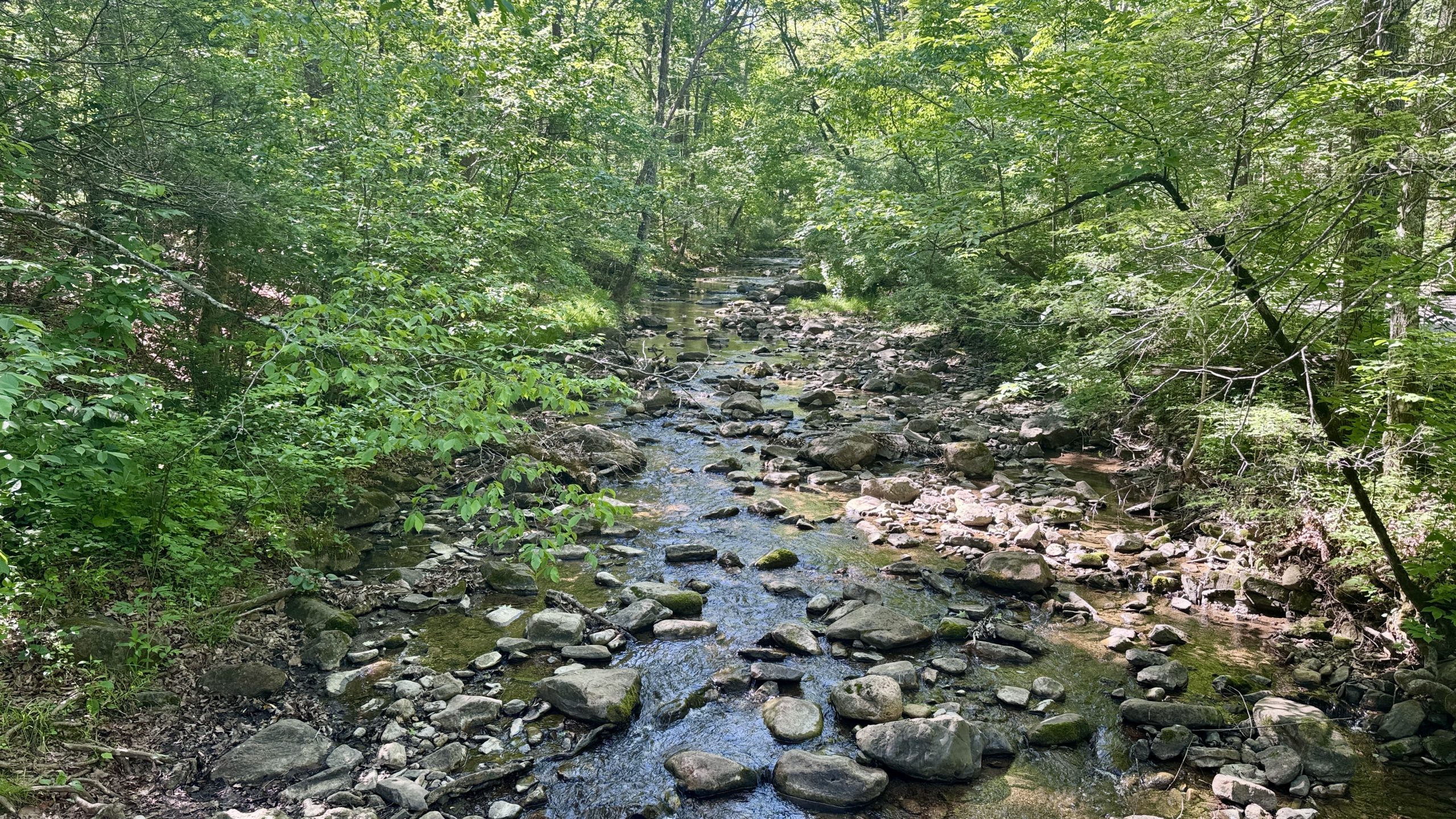
Trout stream.
Things in the way
Once my hydration was complete, I continued down the trail, but something along the way stopped me. The smallest turtle I’ve ever seen was walking the AT. It was a small box turtle about 3 inches long and 2 inches wide. He was a little scared of me, but I managed to take a photo of him before he completely turned around.
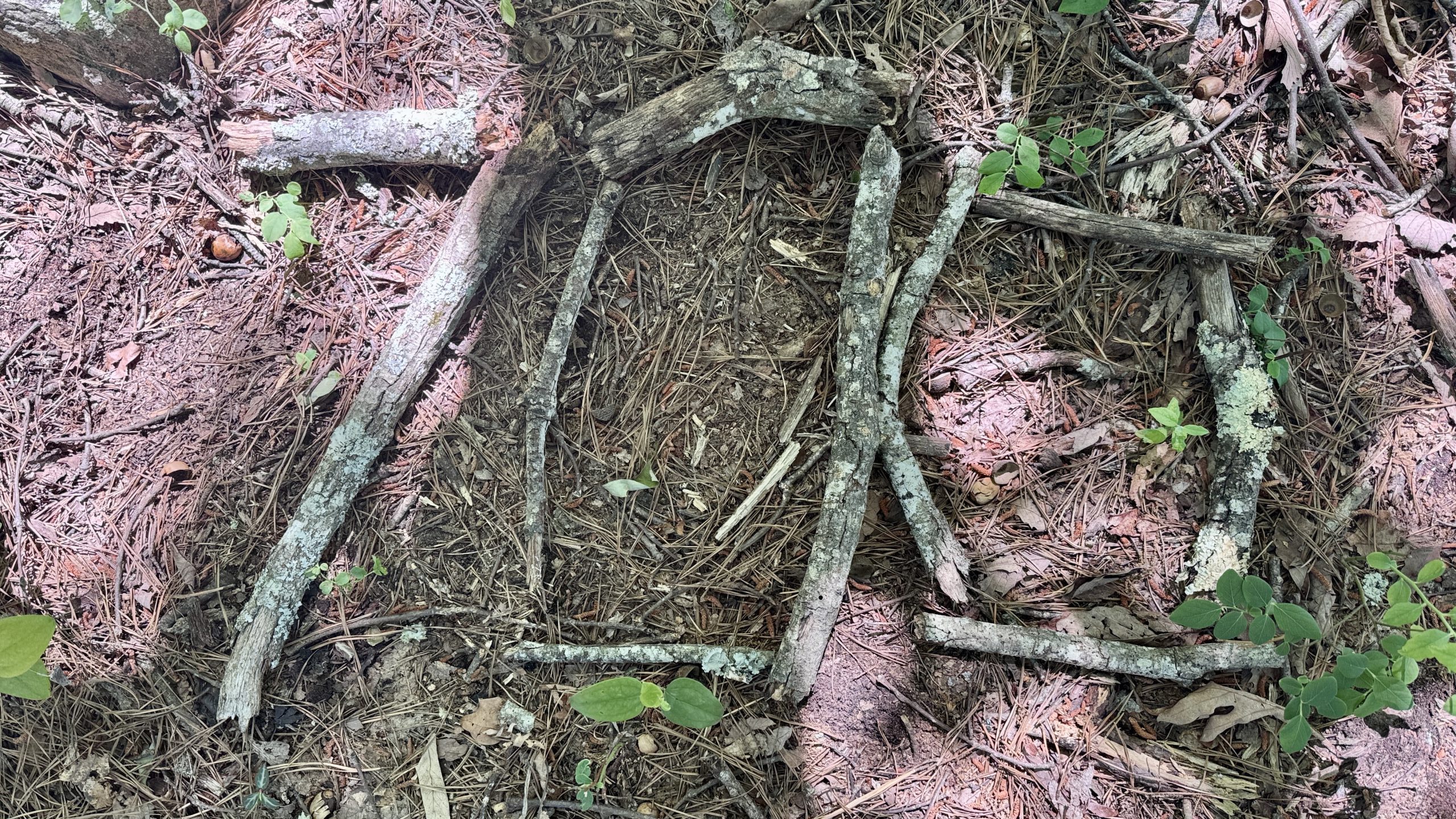
I was on a mission to find something else along the way, the 700 mile marker. I had completely forgotten about it yesterday and knew I would have to be on the lookout to see it today, my last chance.
In reality, surveillance was unnecessary because the marker was an obvious gathering of pinecones stretching along the tail. I saw them yesterday but didn’t realize they were a trail marker. I just thought someone had left a bunch of pine cones on the road. In my defense, going NOBO, they obviously spelled 700. Going SOBO, it looked more like 00L…
As seems to be tradition, there were several more mile markers scattered around.
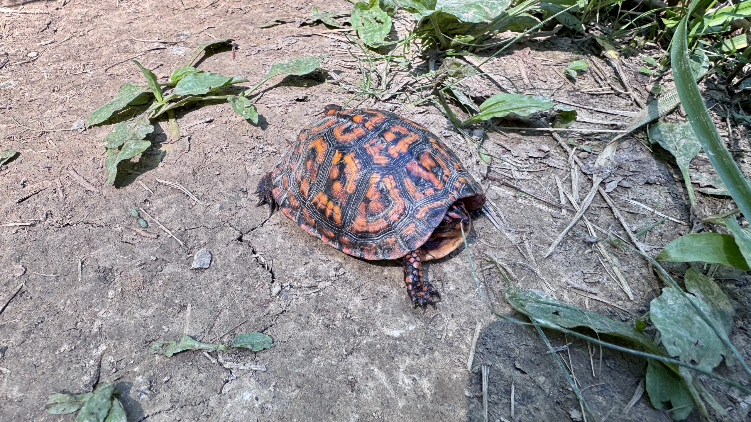
A baby box turtle.
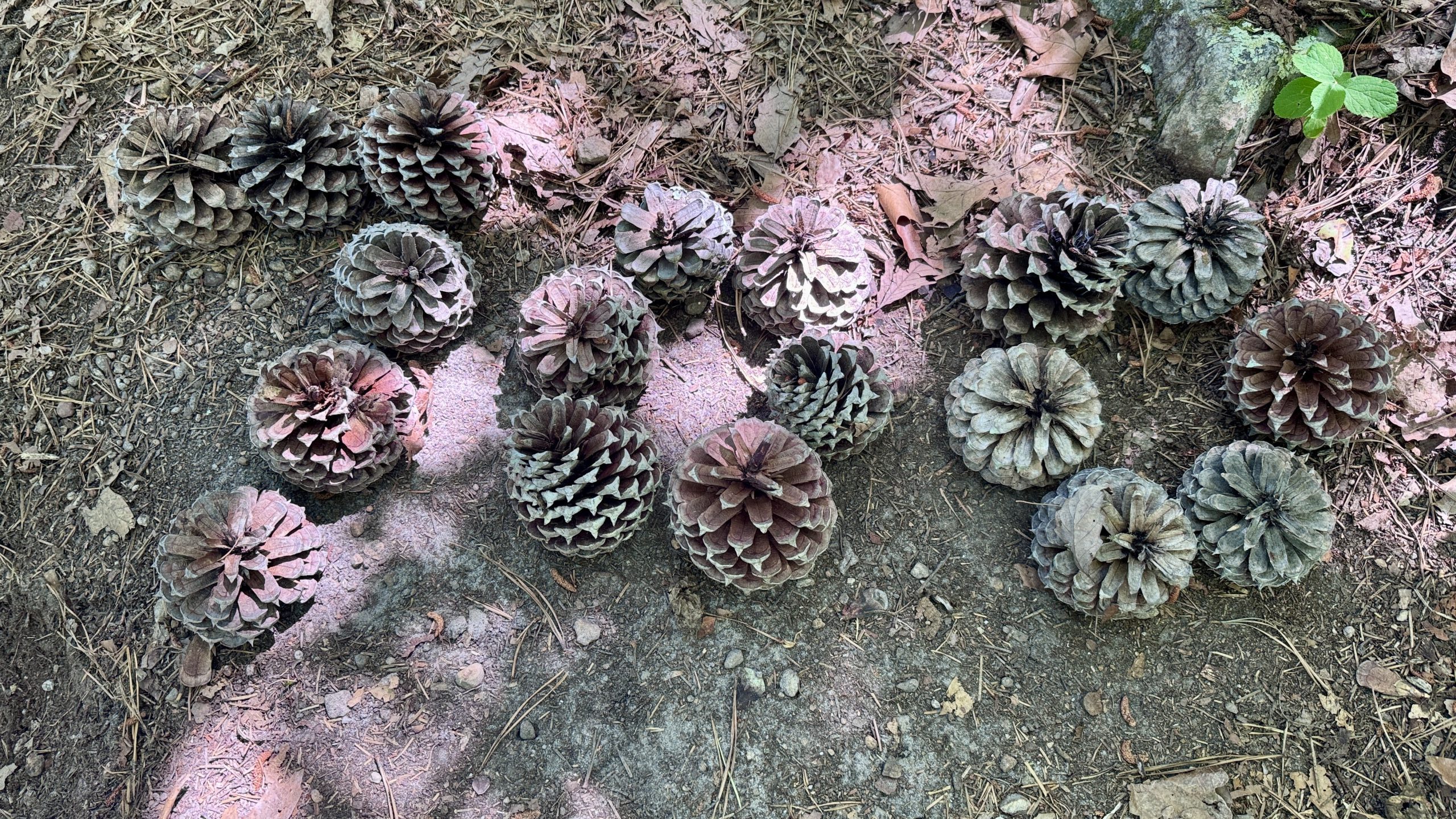
The 700 mile marker!
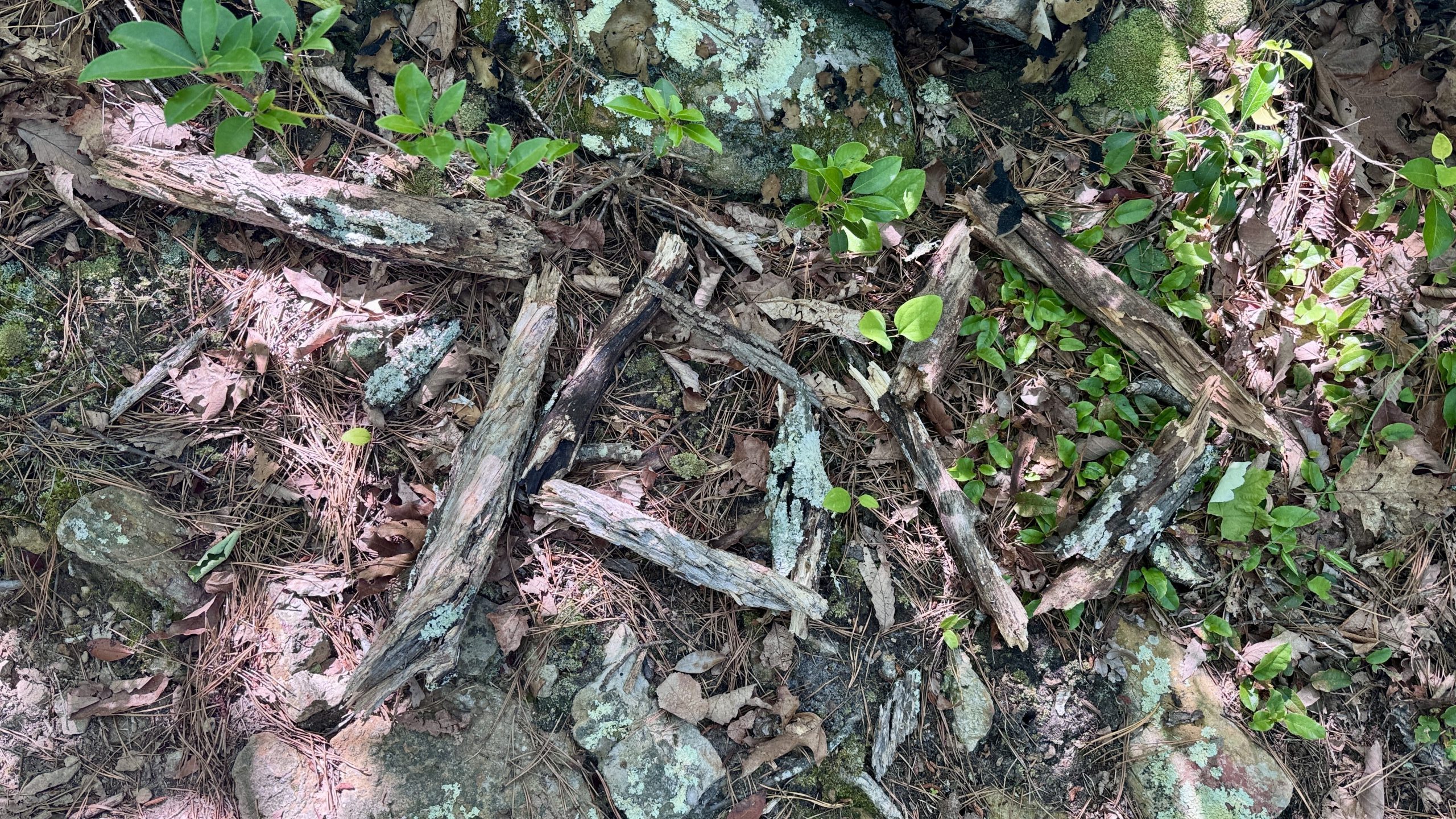
Here’s another one, not as impressive as the pineapple one.
700 mile marker number 3.
A view from the trail near the 700 mile marker.
The trail of the dragon tooth
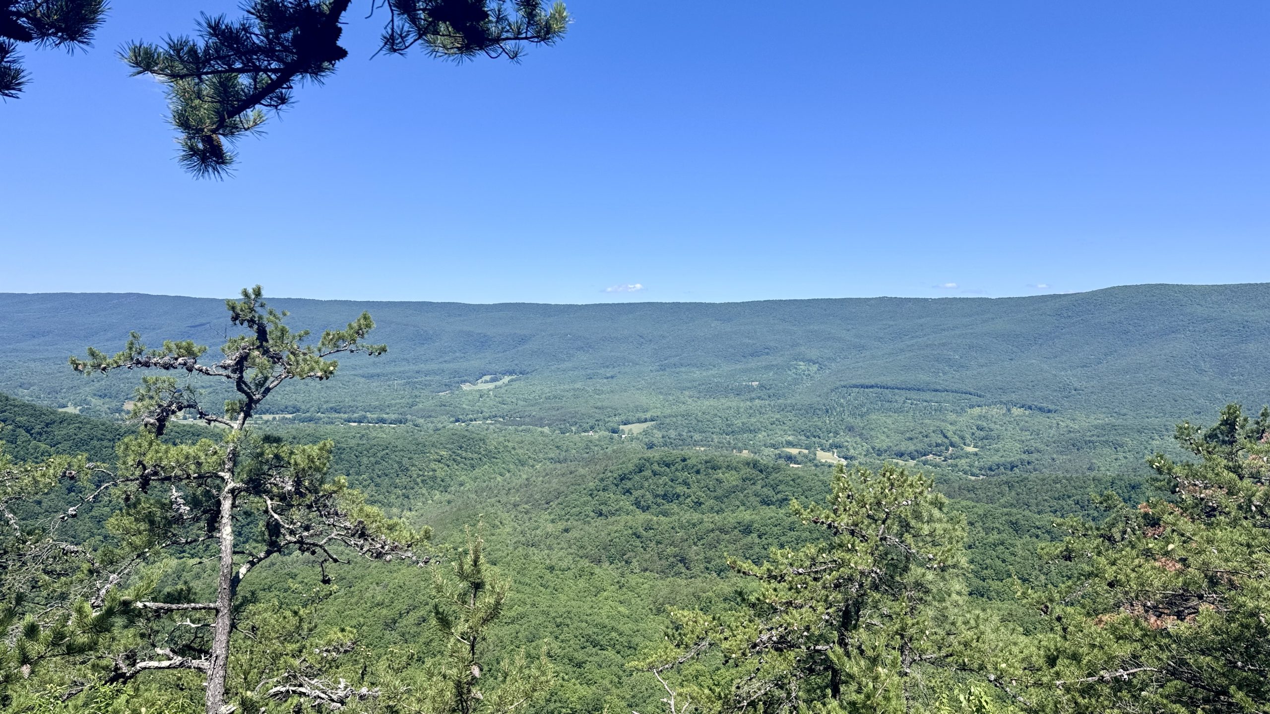
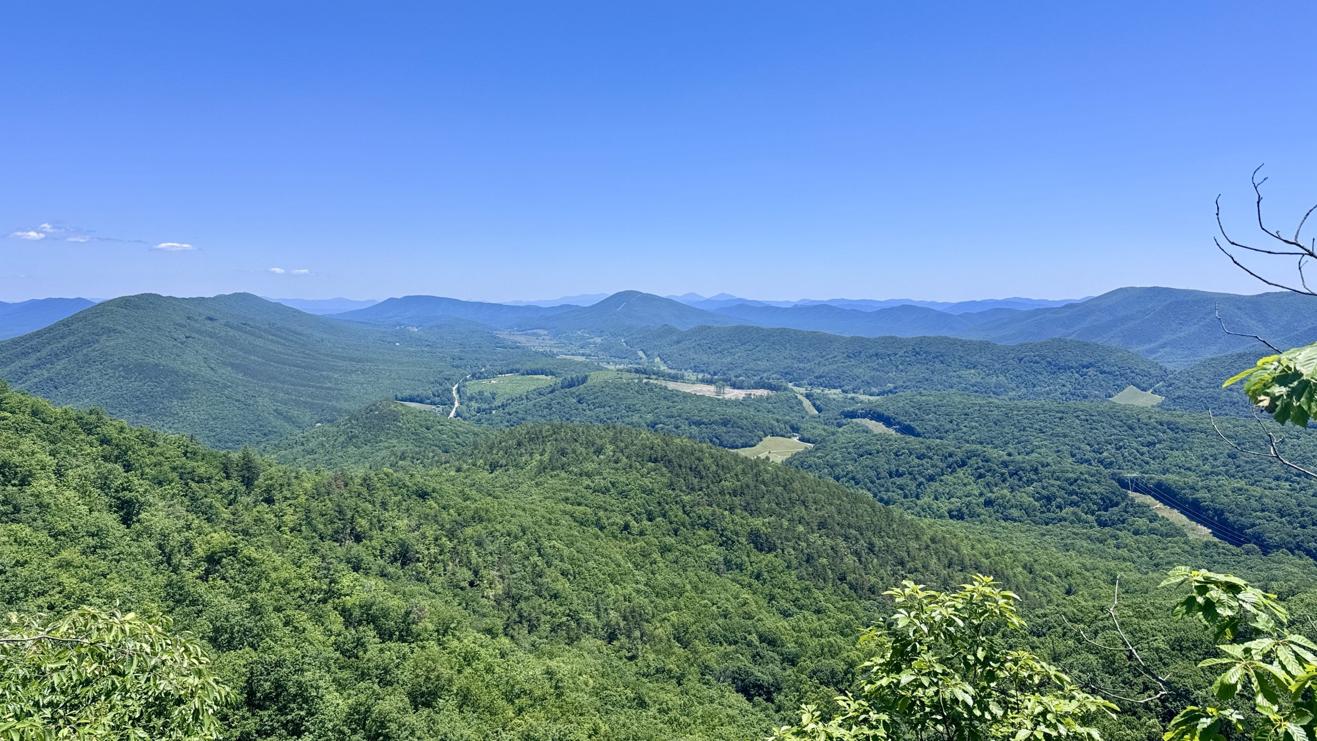
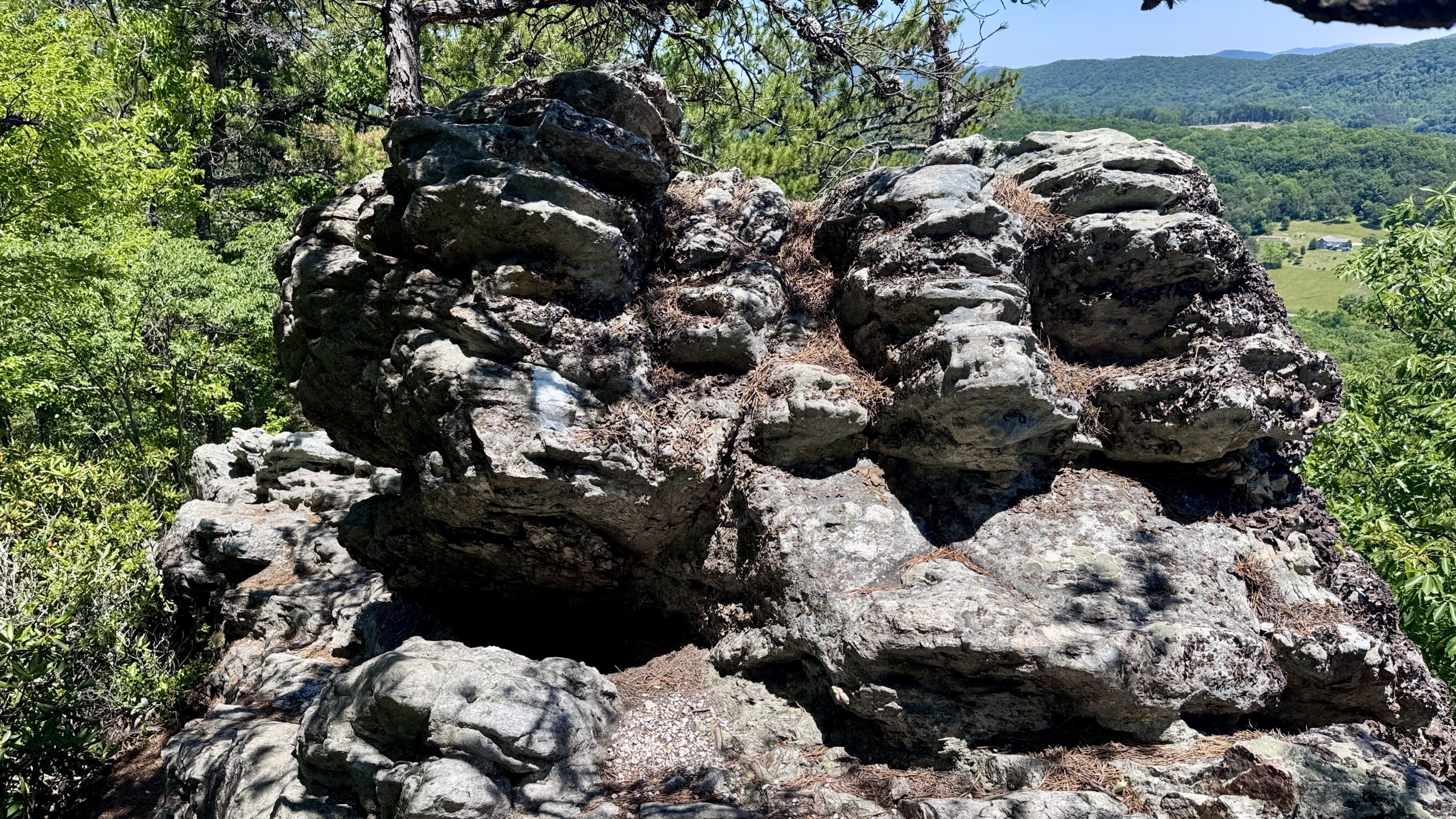
On a ledge just before Dragon’s Tooth I looked down the valley and suddenly realized what awaited me. Across the valley was McAfee Knob. The long ridge down McAfee Knob led to Tinker Cliffs. Stretching off to the left in the distance was the Catawba Valley I had first seen from Tinker Cliffs. I was sure that once I got back to McAfee Knob, I would be able to see Cove Mountain and maybe catch a glimpse of Dragon’s Tooth. The trail had offered views of this valley for most of the Triple Crown area. It was amazing to see how far my legs would take me today.
I skipped the trail leading to Dragon’s Tooth as I had seen the view and taken pictures the day before. I was eager to get to the Catawba grocery store, but first I had to deal with the steep, rocky descent. In fact, it was more difficult to descend. Now I see what several NOBO hikers warned me about.
View of McAfee Knob, center of image, from the trail near Dragon’s Tooth.
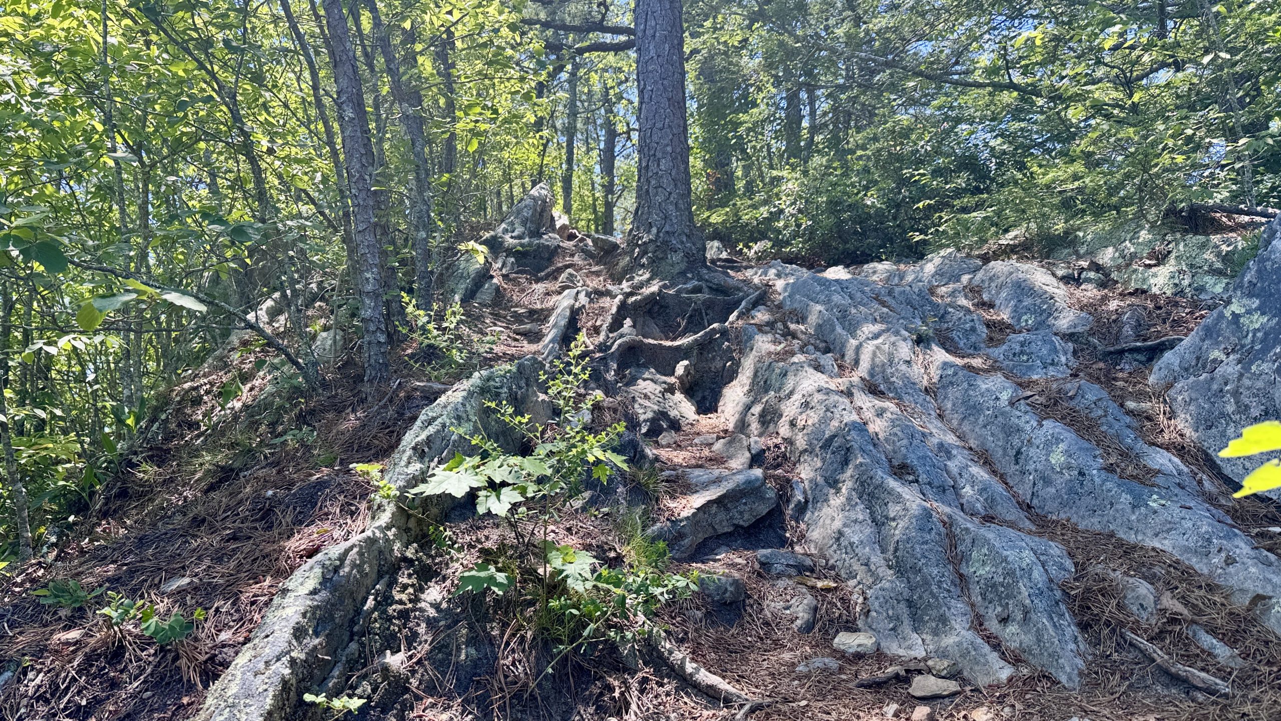
The steep, rocky section near Dragon’s Tooth.
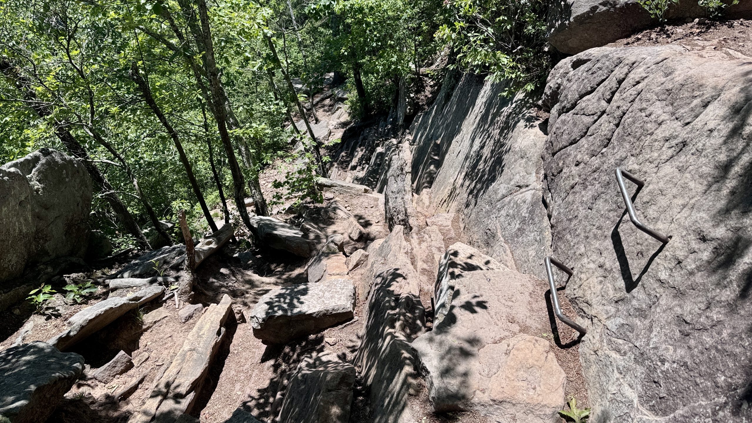
The steep, rocky section near Dragon’s Tooth.
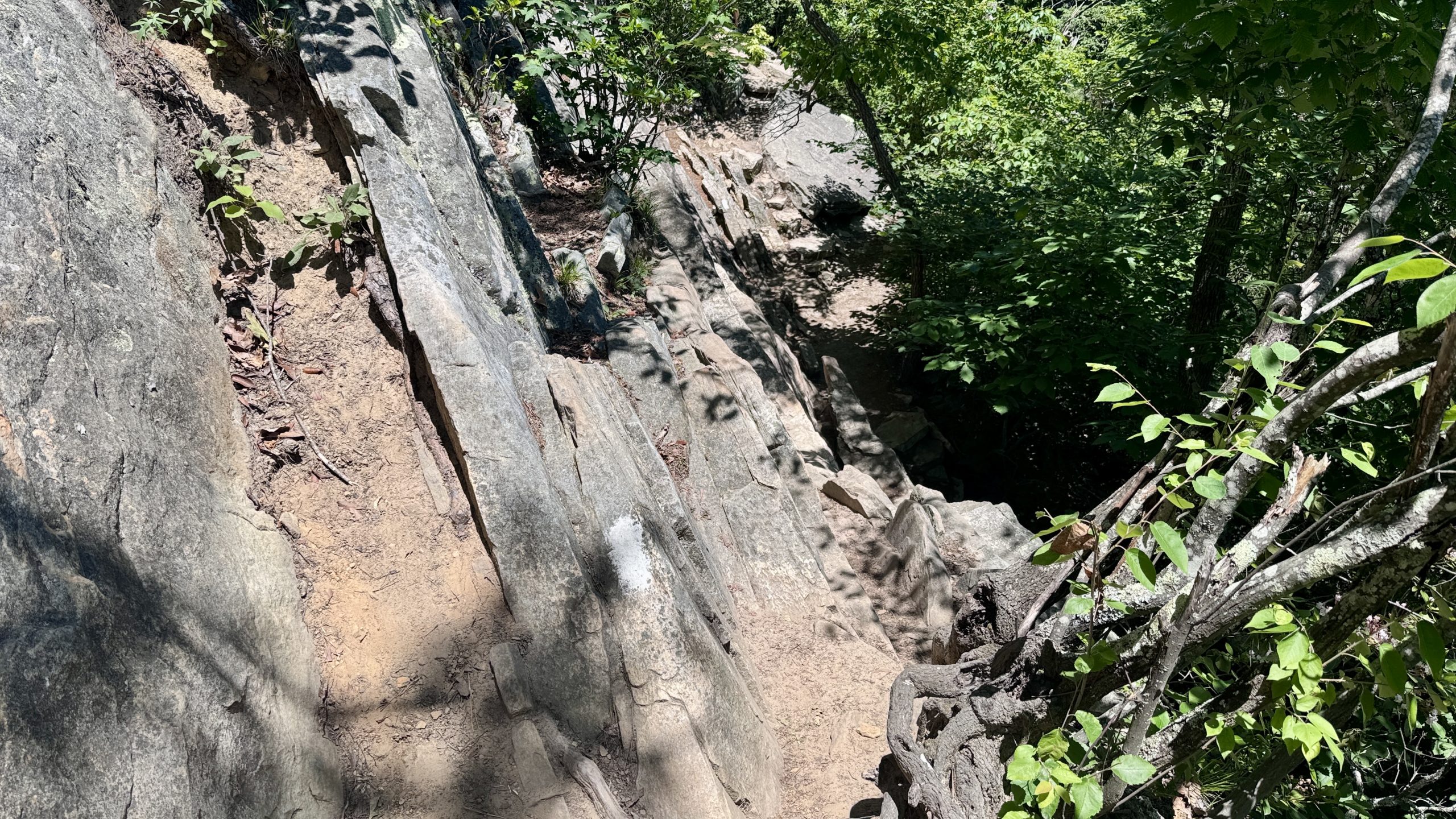
The steep, rocky section near Dragon’s Tooth.
The steep, rocky section near Dragon’s Tooth.
Catawba Grocery Store
After negotiating the difficult rocks below Dragon’s Tooth, I was relieved to have a break. I bought two sodas, a fruit punch and a blue raspberry punch. I stopped by the freezer to see if there were any new ice creams after yesterday’s disappointing selection. What I saw was a newly stocked trove of pints of Hershey’s ice cream. There were so many flavors to choose from and every part of me wanted to try them all. I settled for a flavor called Better Brownie Batter and took my haul to the table outside.
Guilt-free ice cream, free food “trail magic,” how did I spend 37 years before discovering the joy of backpacking? I was in heaven. My early start meant I could take my time in the store and appreciate every bite of cold, brownie-flavored goodness. I won’t pass up the opportunity to stop at gas stations the rest of the way.
Hydration
Although I was pretty hydrated when I left the Catawba grocer, I stopped at the next water fountain to drink and filter a quart of water. I knew there might not be any water until I reached the Pig Farm camp. It was another 10 miles and I would stop at McAfee Knob for a while in the middle. I decided to bring some water just in case.
The trail angels left jugs of water near Route 311 but they were empty when I reached them. I stopped at the John Spring Shelter, but there was no water, just a puddle full of leaves, so I made the extra effort to the Catawba Shelter. There I was able to get water from a light trickle on a leaf. Anyway, water always tastes better when it is collected from a leaf. I was ready for the last climb of the day and my last visit to McAfee Knob.
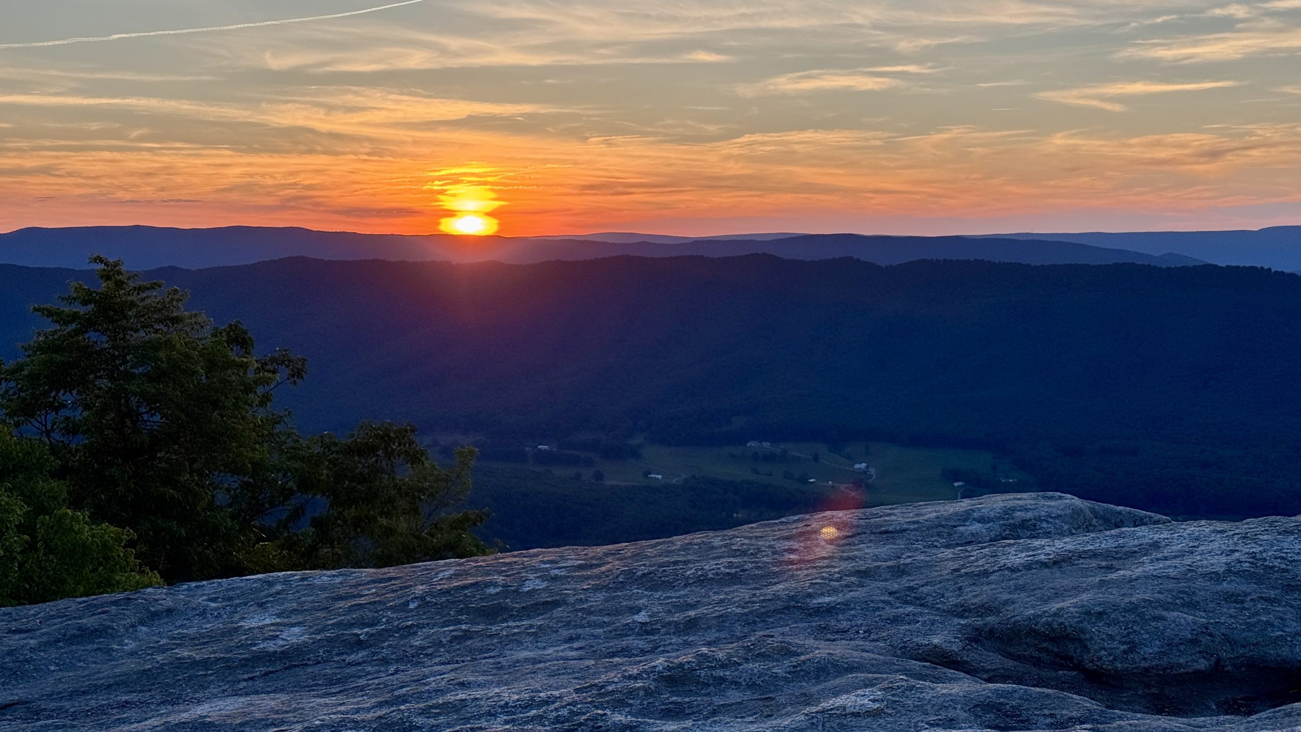
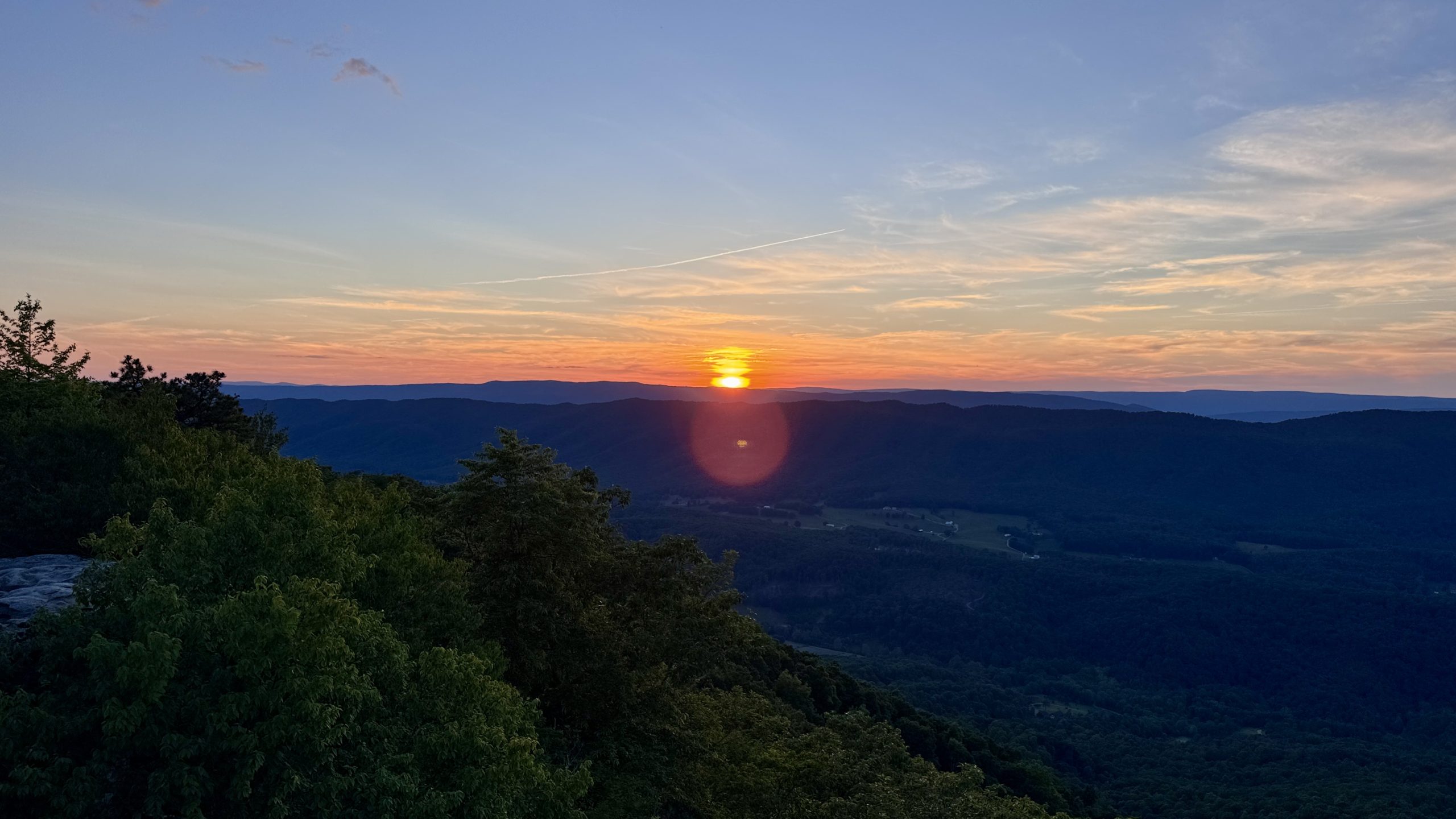
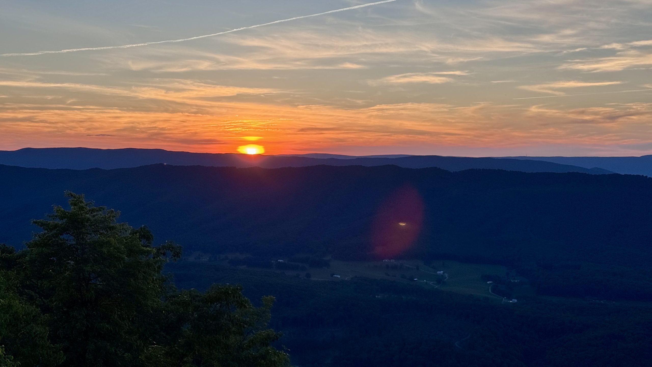
McAfee Knob Sunset
I wasn’t paying too much attention to the time, but I felt like I had a good margin of safety before sunset. Sure enough, I arrived at the rock viewpoint with approximately half an hour left before sunset. It wasn’t long before the sky turned from blue to vibrant reds, purples, and oranges. The clouds near the horizon glowed a deep yellow. It seemed appropriate to send off McAfee Knob with a sunset.
I walked back to the Pig Farm campsite in daylight. I was one of the first to descend, but several hikers had already set up camp. I chose the first spot off the trail, which I immediately regretted because it was made entirely of loose stone. I managed to drive my stakes a few inches into the ground. After a quick dinner, I climbed into bed for what I hoped would be a restful night’s sleep. A few moments after settling in, I realized that if anyone further down the campground planned to get up and watch the sunrise at McAfee Knob, I would surely hear them marching at 5:00 a.m.
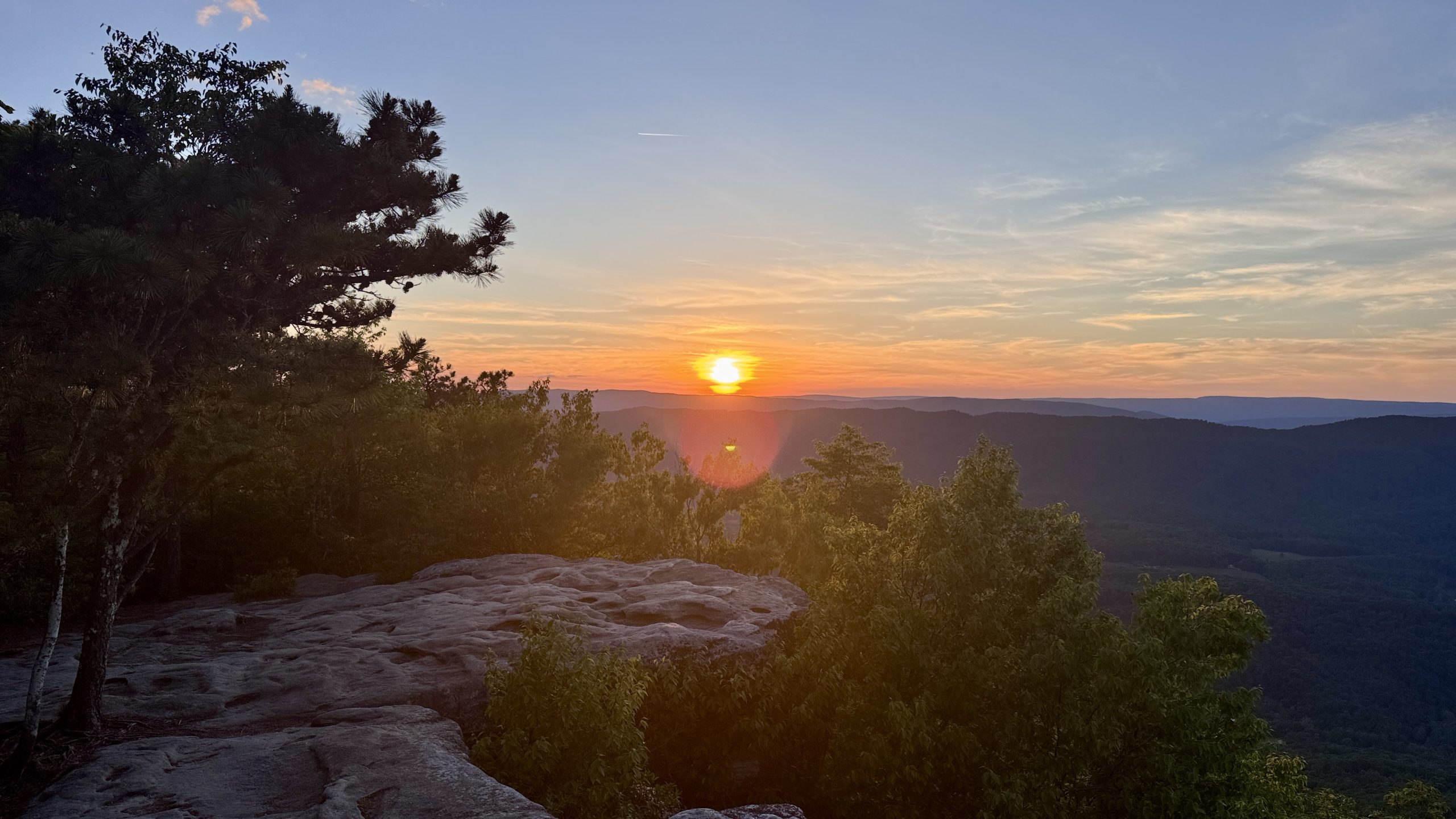
Sunset at McAfee Knob.
Sunset at McAfee Knob.
Sunset at McAfee Knob.
Sunset at McAfee Knob.

Sunset at McAfee Knob.
-See you tomorrow
| Leg | Begin | Mile | End | Mile | Ascent | Decline | Address |
|---|---|---|---|---|---|---|---|
| 1 | Camping MM 691.0 | 691.0 | Pig farm camping | 715.6 | 6,551 | 5,451 | NOBO |
Total: 24.6 miles, 60,636 steps
- Hiking type: backpacking
- Camp: Tent, Pig Farm Camping
This website contains affiliate links, which means The Trek may receive a percentage of any products or services you purchase using links in articles or advertisements. The buyer pays the same price they would otherwise pay, and their purchase helps support The Trek’s ongoing goal of bringing you quality backpacking information and advice. Thank you for your support!
For more information, visit the About page of this site.
:max_bytes(150000):strip_icc():format(jpeg)/taylor-swift-alysa-liu-iheartradio-music-awards-032726-1e8769a2f3cb407b84c4a56d11694a74.jpg?w=238&resize=238,178&ssl=1 "Alysa Liu habla sobre su ‘impresionante’ encuentro con Taylor Swift después de los Juegos Olímpicos (Exclusivo)")
:max_bytes(150000):strip_icc():format(jpeg)/kate-hudson-danny-fujikawa-061126-e4650c7d55df45879e1b51511bcb5274.jpg?w=238&resize=238,178&ssl=1 "Kate Hudson comparte un vistazo íntimo a su vida familiar para celebrar el 40 cumpleaños de su prometido Danny Fujikawa.")

:max_bytes(150000):strip_icc():format(jpeg)/taylor-swift-alysa-liu-iheartradio-music-awards-032726-1e8769a2f3cb407b84c4a56d11694a74.jpg?w=100&resize=100,75&ssl=1 "Alysa Liu habla sobre su ‘impresionante’ encuentro con Taylor Swift después de los Juegos Olímpicos (Exclusivo)")


/https://tf-cmsv2-smithsonianmag-media.s3.amazonaws.com/filer_public/47/76/47762599-0046-4ac9-9893-0b8dc14c1f34/low-res_1_56_gram_40mm_wide_part_slicemauto.jpg?w=100&resize=100,75&ssl=1 "Un raro meteorito encontrado en el desierto del Sahara proporciona evidencia de un protoplaneta perdido
|")


:max_bytes(150000):strip_icc():format(jpeg)/kate-hudson-danny-fujikawa-061126-e4650c7d55df45879e1b51511bcb5274.jpg?w=100&resize=100,75&ssl=1 "Kate Hudson comparte un vistazo íntimo a su vida familiar para celebrar el 40 cumpleaños de su prometido Danny Fujikawa.")