
Thursday, June 25, 2026
I take advantage of an early wake-up call to watch the sunrise and try more food in Shenandoah.
rise and shine
TOAt 5:00 am sharp, a low-flying helicopter passed nearby and woke me up from a pleasant night’s sleep. I noticed that daylight was starting to filter over the horizon, so I got dressed, put on my shoes, and walked to the overlook. My calculations from the night before were slightly off and I could see that sunrise would not be fully visible. I don’t think sunrise would have been visible even if I had a clear view as that particular part of the sky was quite cloudy. However, there was still a beautiful spectrum of color emanating from the horizon and refracting through the clouds. I was on the road at 6:00 am eager to start another amazing day in Shenandoah. It was at that moment that I realized that I am currently 60 miles, or three full days of hiking, from my minivan back to Turk Gap. This wasn’t disturbing, just noteworthy, as I don’t know when or if I’ll go on another six-day backpacking adventure, so this might be the furthest I get from the van with nothing but my own two legs to carry me back. My first stop was the picnic area where I had filled up my water before climbing the pinnacle. I had breakfast there and created a plan for the day.
On paper, today’s itinerary was simple: simply do the opposite of what I did yesterday. This time I would be two hours ahead, which would mean a little more time at Big Meadows Wayside. This time I would get there sometime in the afternoon and only had 7 miles of hiking left for the day. However, two more things intrigued me. First, I wanted to take the side trail up Stony Man Mountain, which I had heard offered a great viewpoint. Secondly, I wanted to visit the Skyland Resort. It’s a more sit-down restaurant and I thought it might be a little pricey, but after reviewing the breakfast menu, I thought it would be a fair deal and a great place to visit. At the end of the day, who knows when I will have the opportunity to return, maybe I will also take advantage of the proximity and the time that I have by my side today.
The sky shines as the sun rises behind my campsite.

The colors of dawn light up the sky from The Pinnacle.
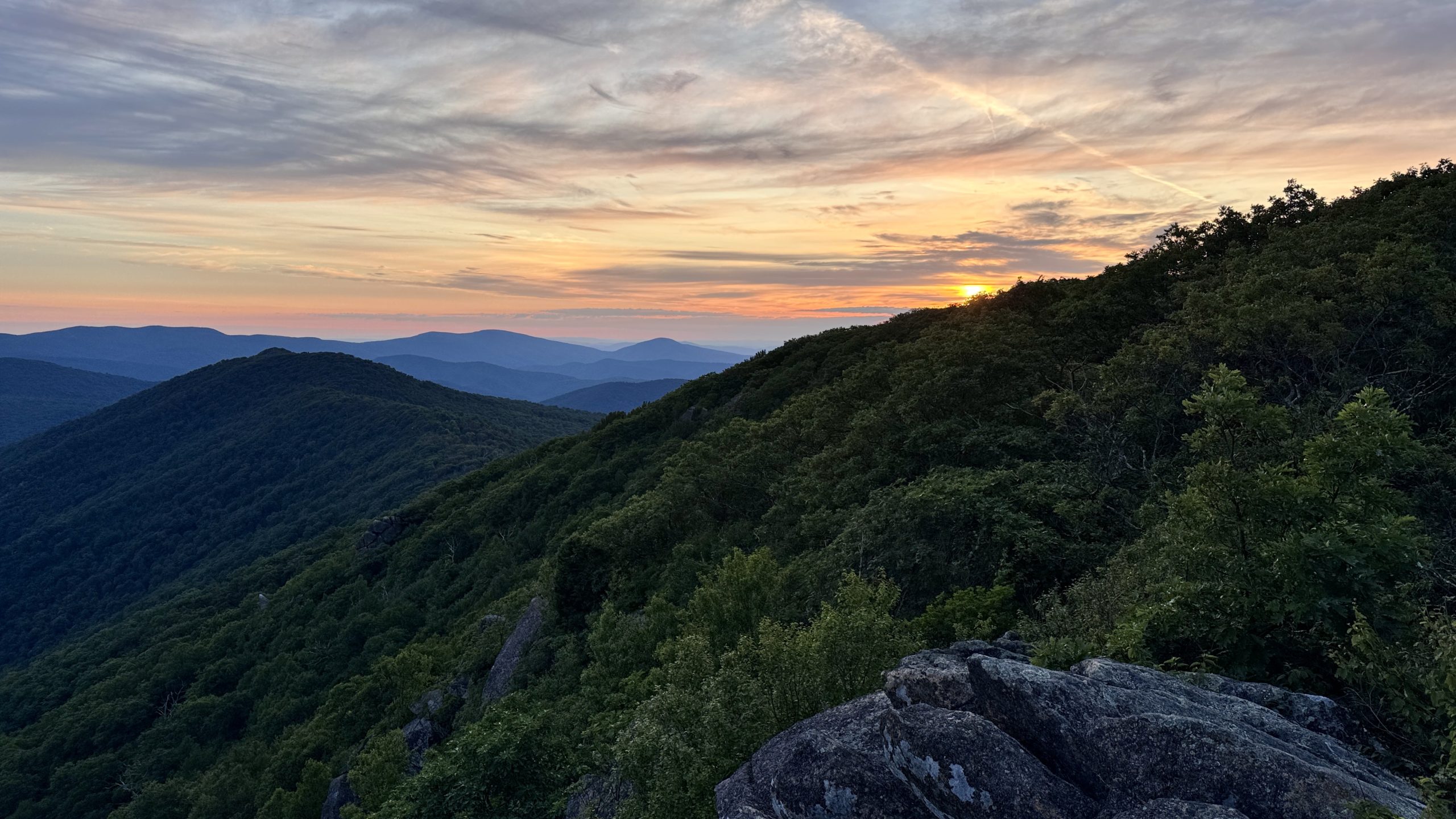
Sunrise at The Pinnacle.
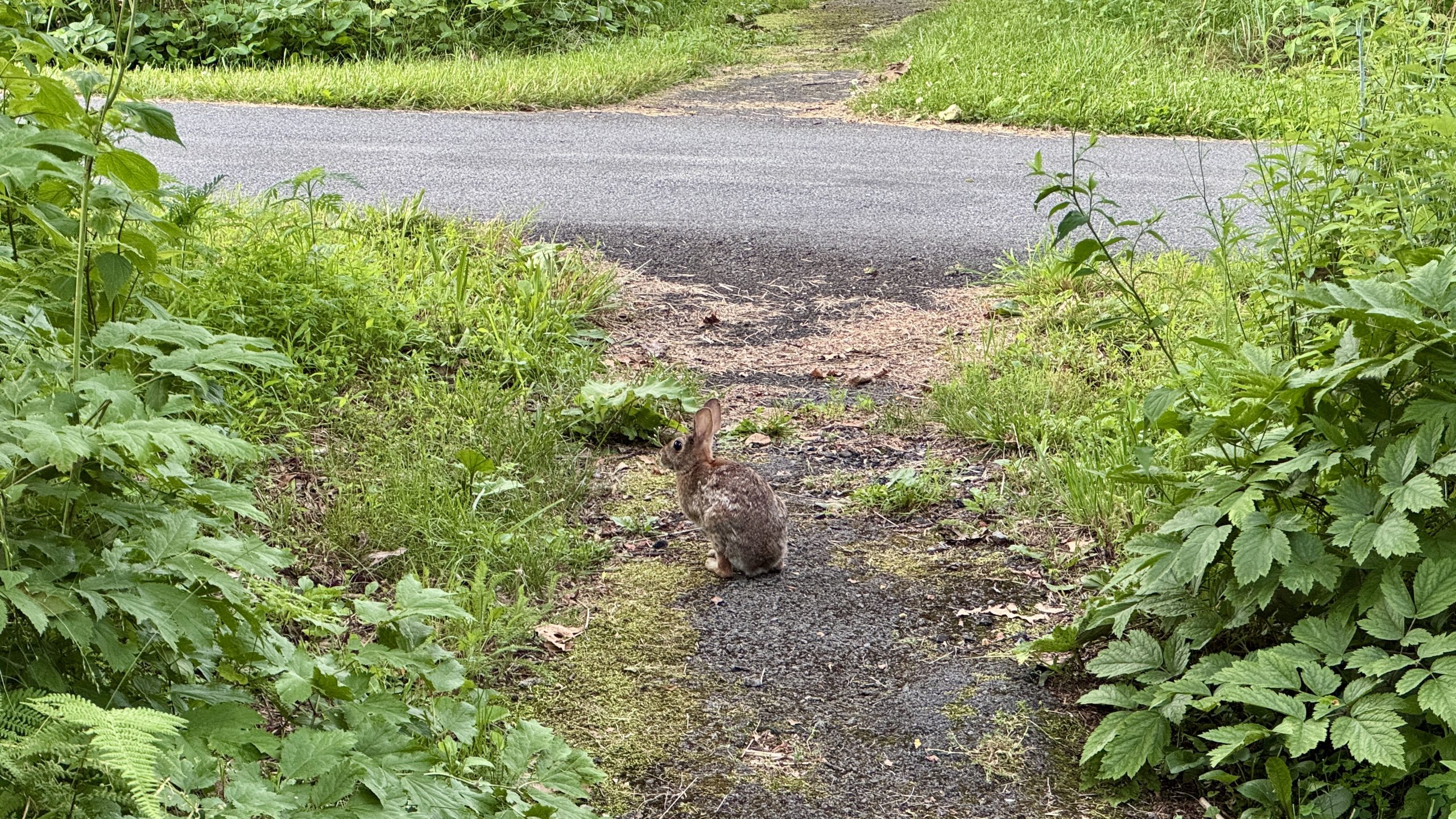
A rabbit hangs out near the picnic area at the foot of The Pinnacle.
Breakfast at Skyland Resort
The short side mission to Stony Mountain was worth it. Several visitors were already perched on the rocks enjoying the wide view of the valley. I could see the Skyland Resort in the next mountain gap about a mile to the south. I was eager for coffee and a hot breakfast, so I walked twice as long to the restaurant.
Getting a table took a little while, but the service was good and the food came out quickly. The blackberry french toast was worth every penny. I spent about 90 minutes at the resort, admiring the view and enjoying my mid-hike breakfast. If I was planning on taking the Appalachian Trail for the entire hike today, I would have been in a time crunch. But he had a secret weapon: retro fire! I could see that if I left the Skyland Resort and followed Skyline Drive I would save a bit of distance and a lot of rocky terrain. My progress would be much faster. However, after a few miles, Skyline Drive would begin to meander, making the AT the faster road. I quickly scanned the map to create what I thought would be the optimal route to Big Meadows.
Shortly after leaving the complex, a car stopped as it passed me and a voice shouted, «Sir, see you tomorrow!» He was a section hiker named Man. I met him briefly in May in southern Virginia. He remembered my name and had returned to work at Shenandoah National Park. Once again the trail turned out to be a small world.
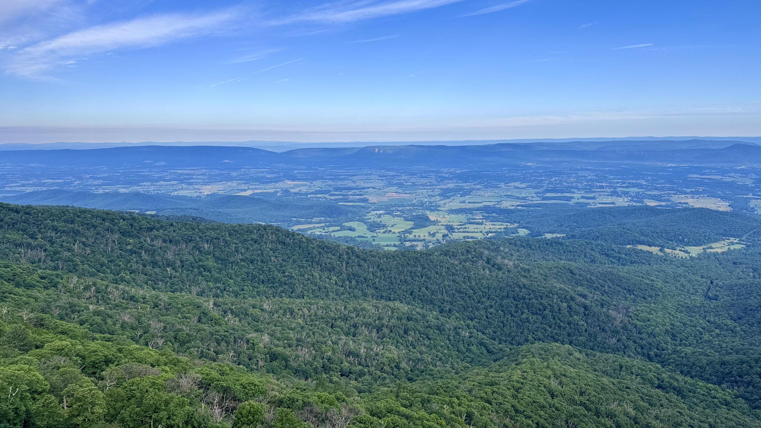
View from Stony Man Mountain.
View from Stony Man Mountain.
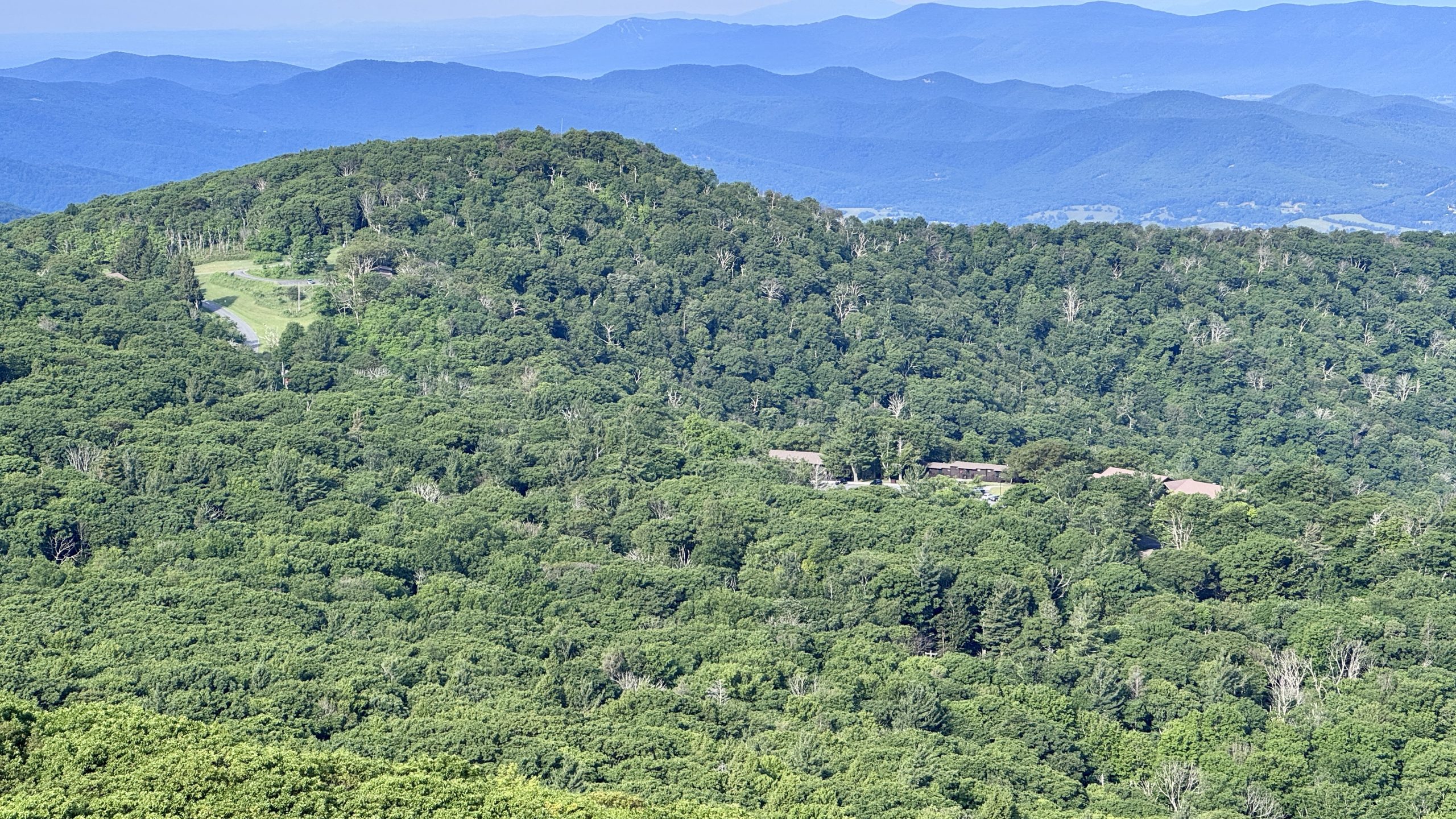
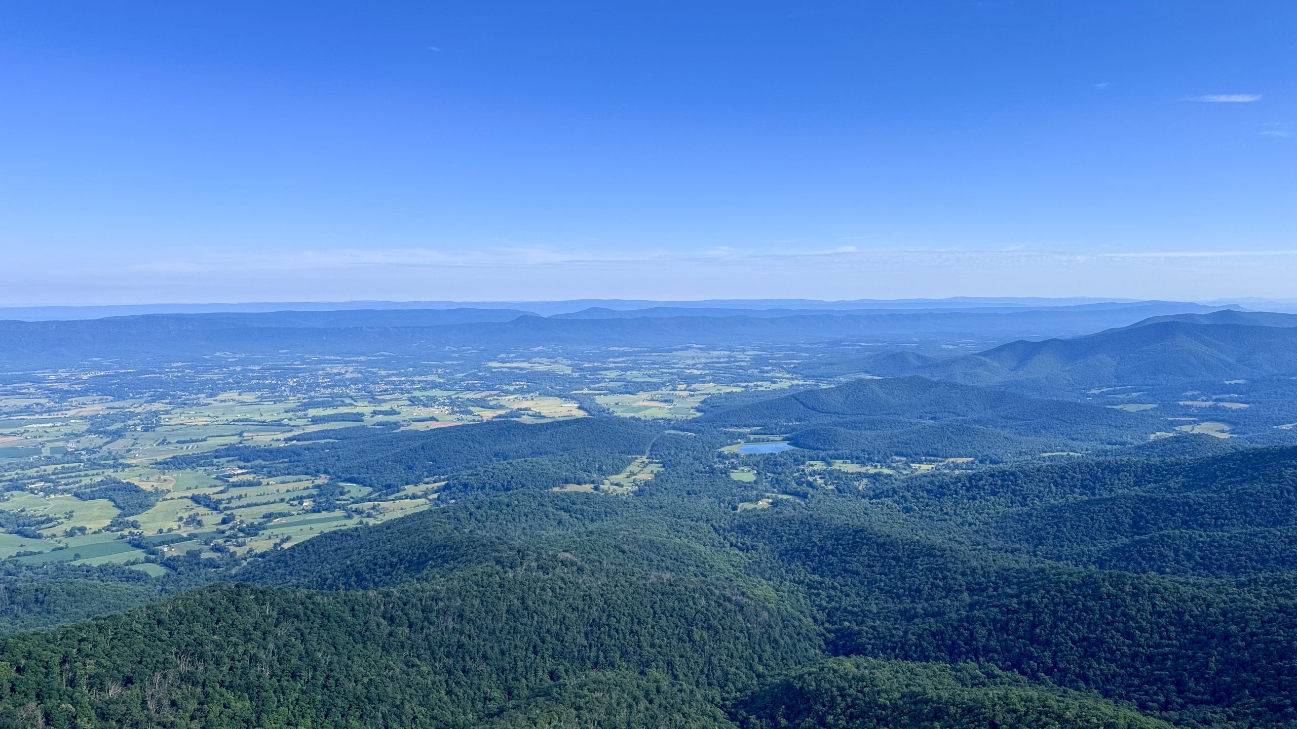
Skyland Resort, as seen from Stony Man Mountain.
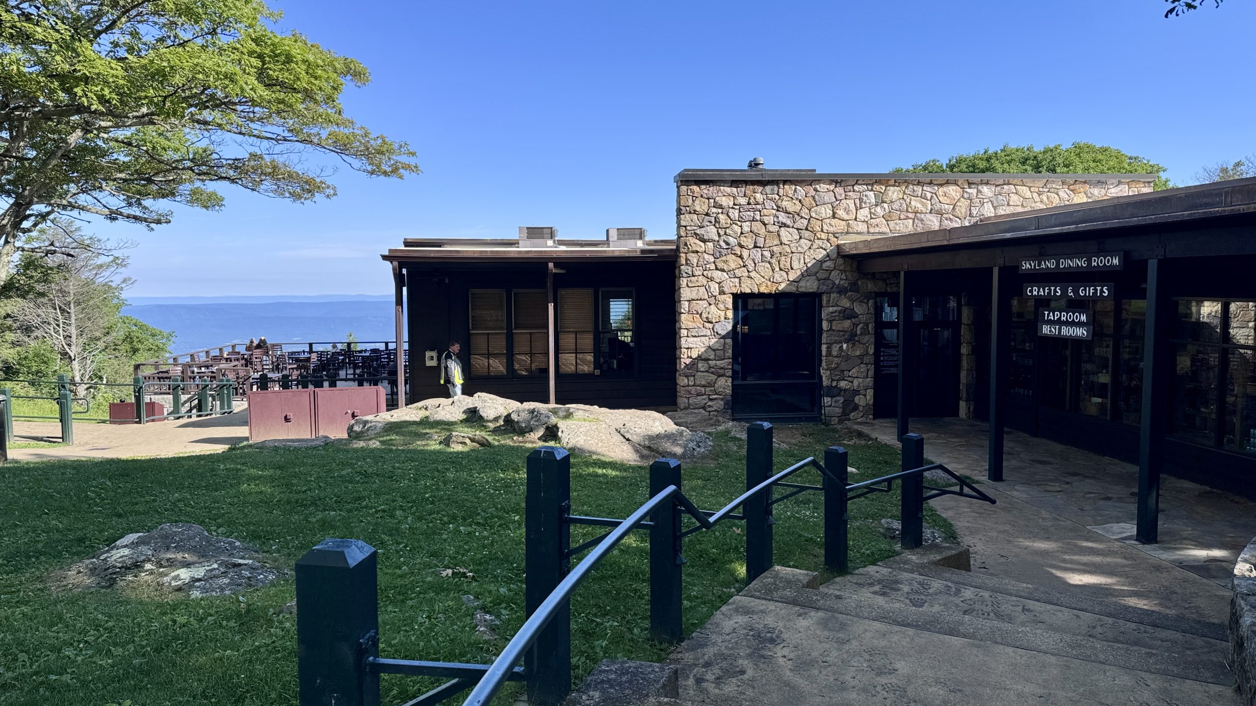
The Skyland Dining Room.
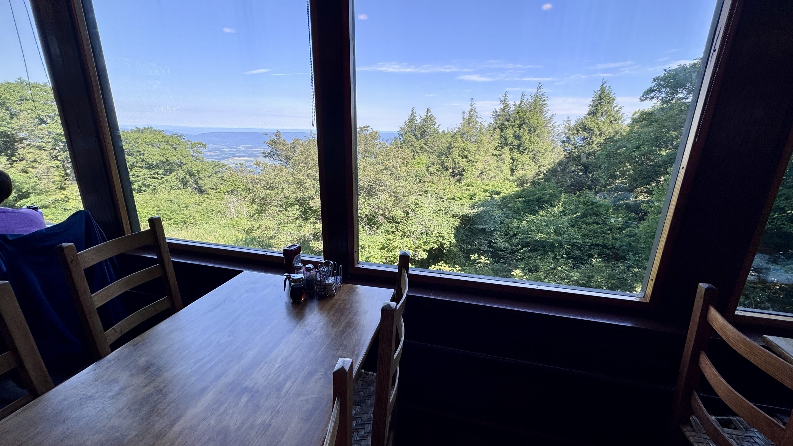
View from inside the Skyland dining room.
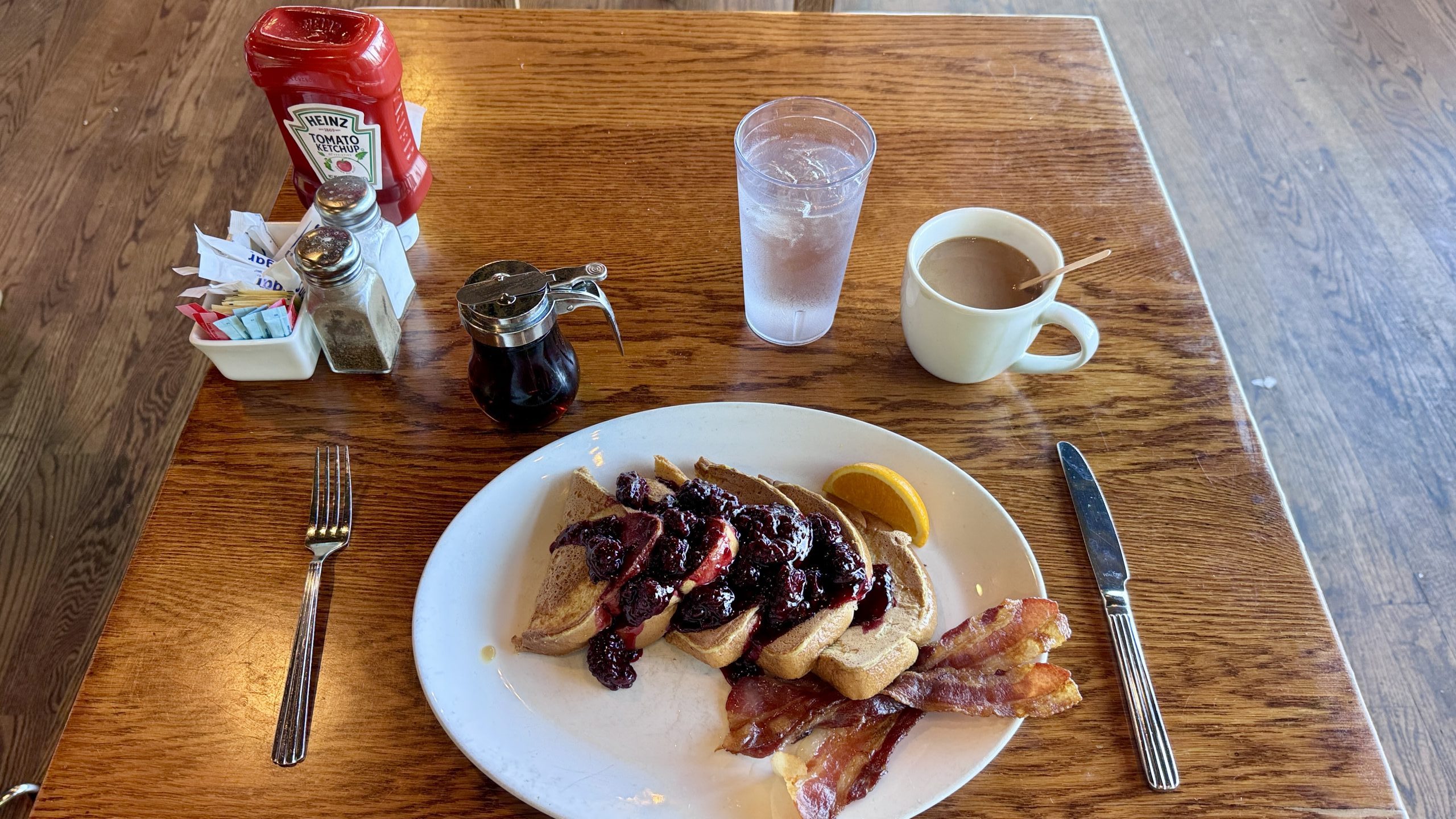
Blackberry French toast with bacon and coffee. A truly luxurious breakfast while you hike the trail.
Incredible valley views from the Skyland dining patio.
Shortcuts for Smashburgers
I was having a good time between Skyline Drive and AT. Today was the most perfect day I could have had for retro style. It was 72° and mostly clear. The sun was shining, but it wasn’t strong at all, and since it was Thursday, Skyline Drive would be relatively quiet.
I walked several kilometers and was able to enjoy some viewpoints. After reviewing the map on FarOut, an idea occurred to me. Instead of following the trail around the Big Meadows campground, you could take a shortcut through the campground and get to the trail a little sooner. This worked so well that I hit the road at 1:30 pm and bought a soda and something called a Hogback Smashburger. This came with two Angus burgers, cheddar cheese, bacon jam, an onion ring, pickles, and the rest of the usual cheeseburger paraphernalia. It was easily the best food I’ve had in the park so far. I sat on the outside patio for over two hours. In the end I felt the need for dessert and ordered a chocolate shake. At 4:00 pm it was time for another retro fire. A 4 mile hike up Skyline Drive would take me to the trailhead for the bare fence mountain trail. I had a plan to camp somewhere near the Summit.
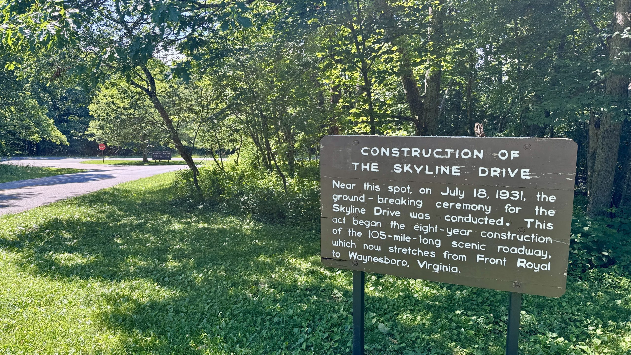
A sign indicates that construction of Skyline Drive began nearby in 1931.
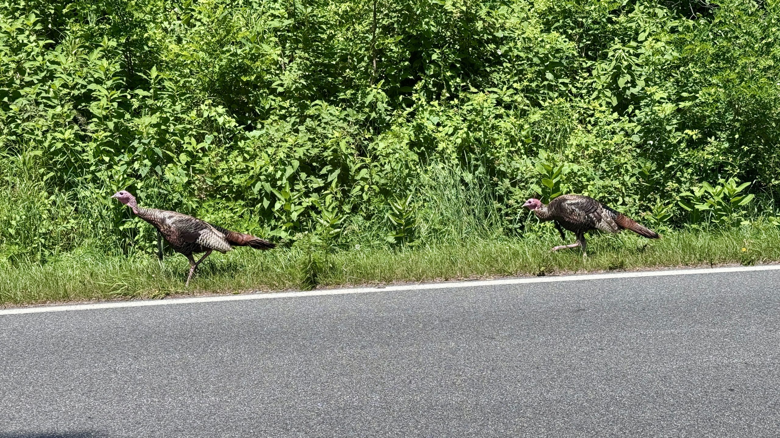
A pair of turkeys take Skyline Drive through Shenandoah National Park.
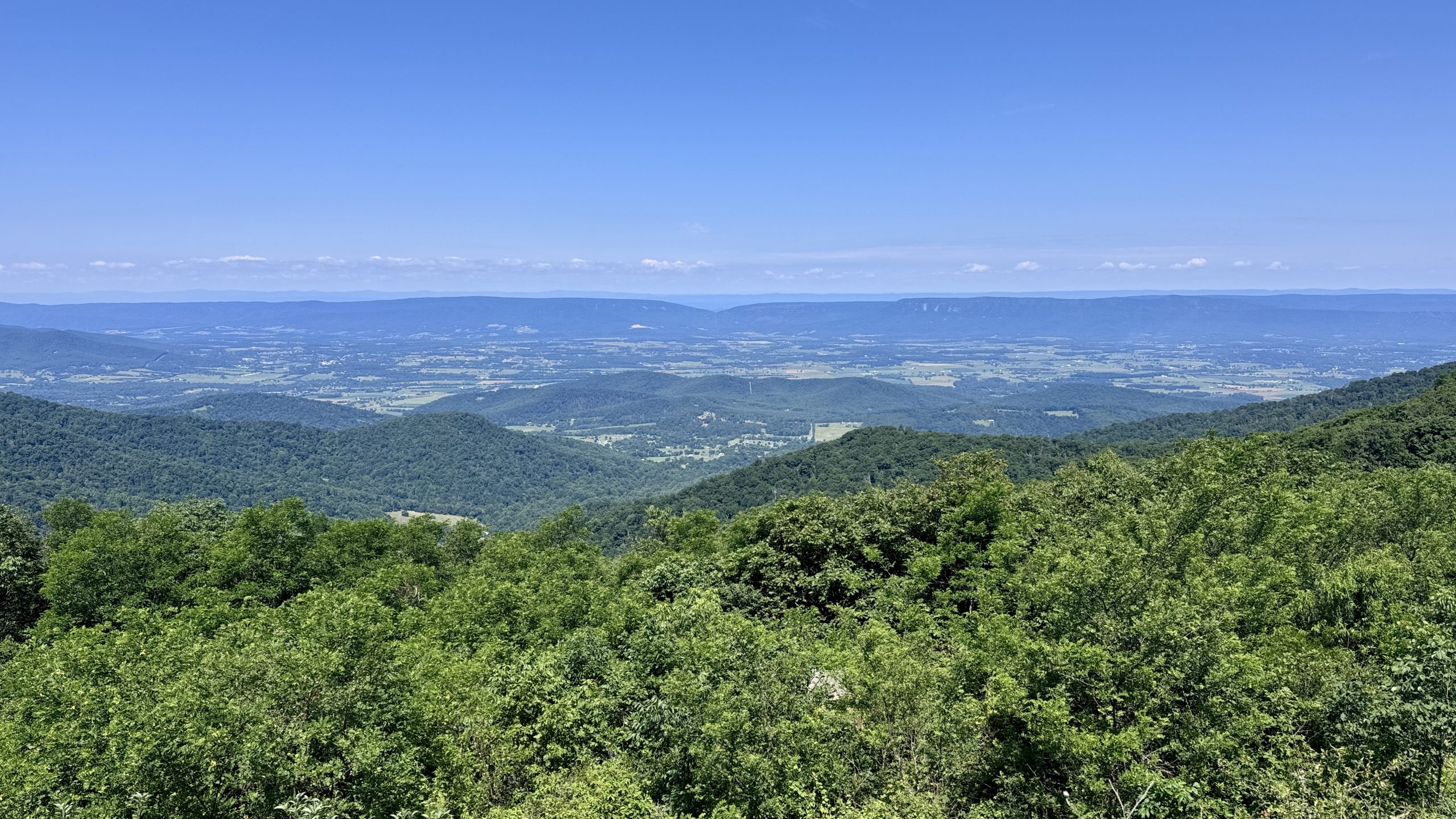
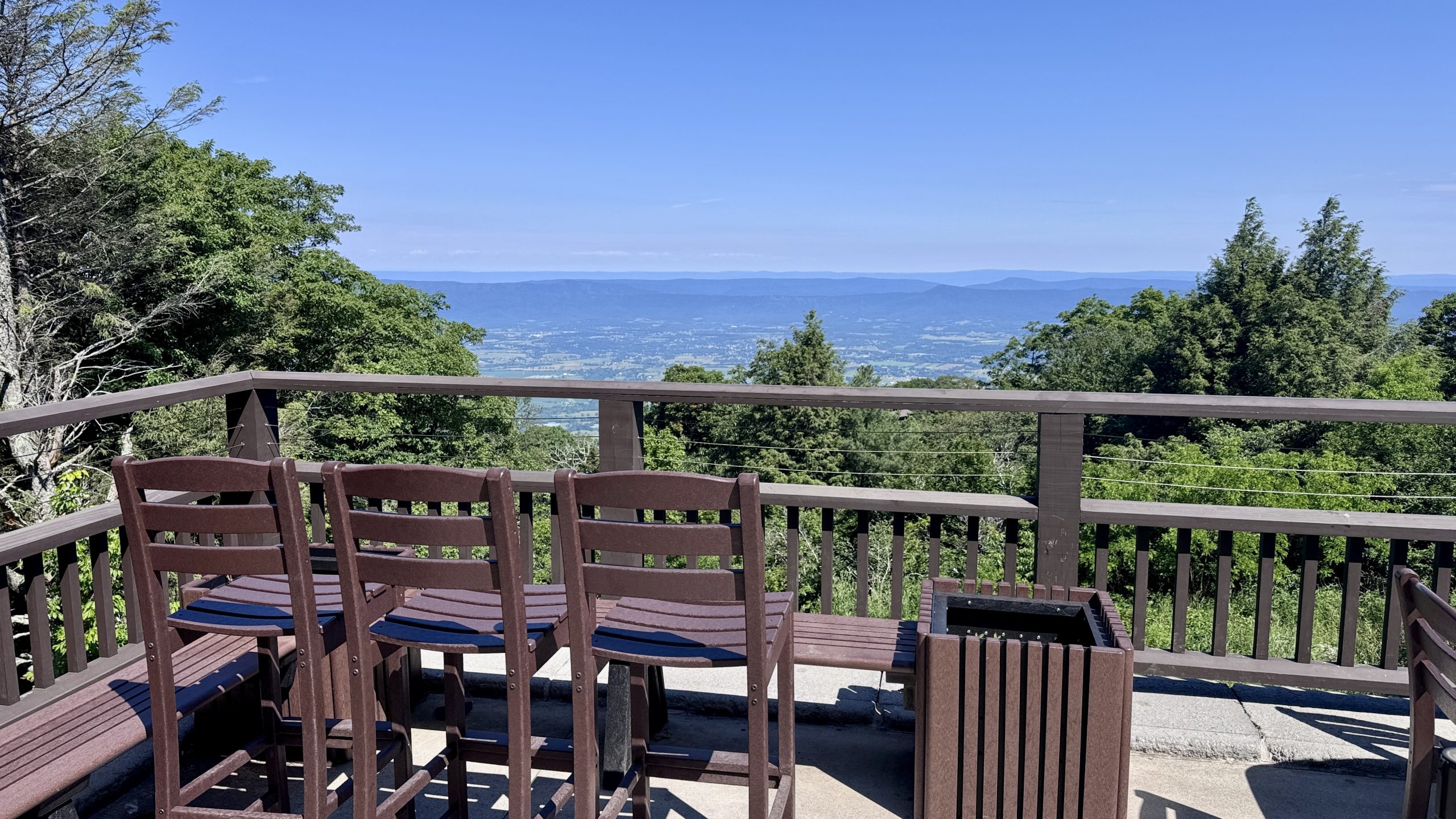
View from Timber Hollow Overlook.
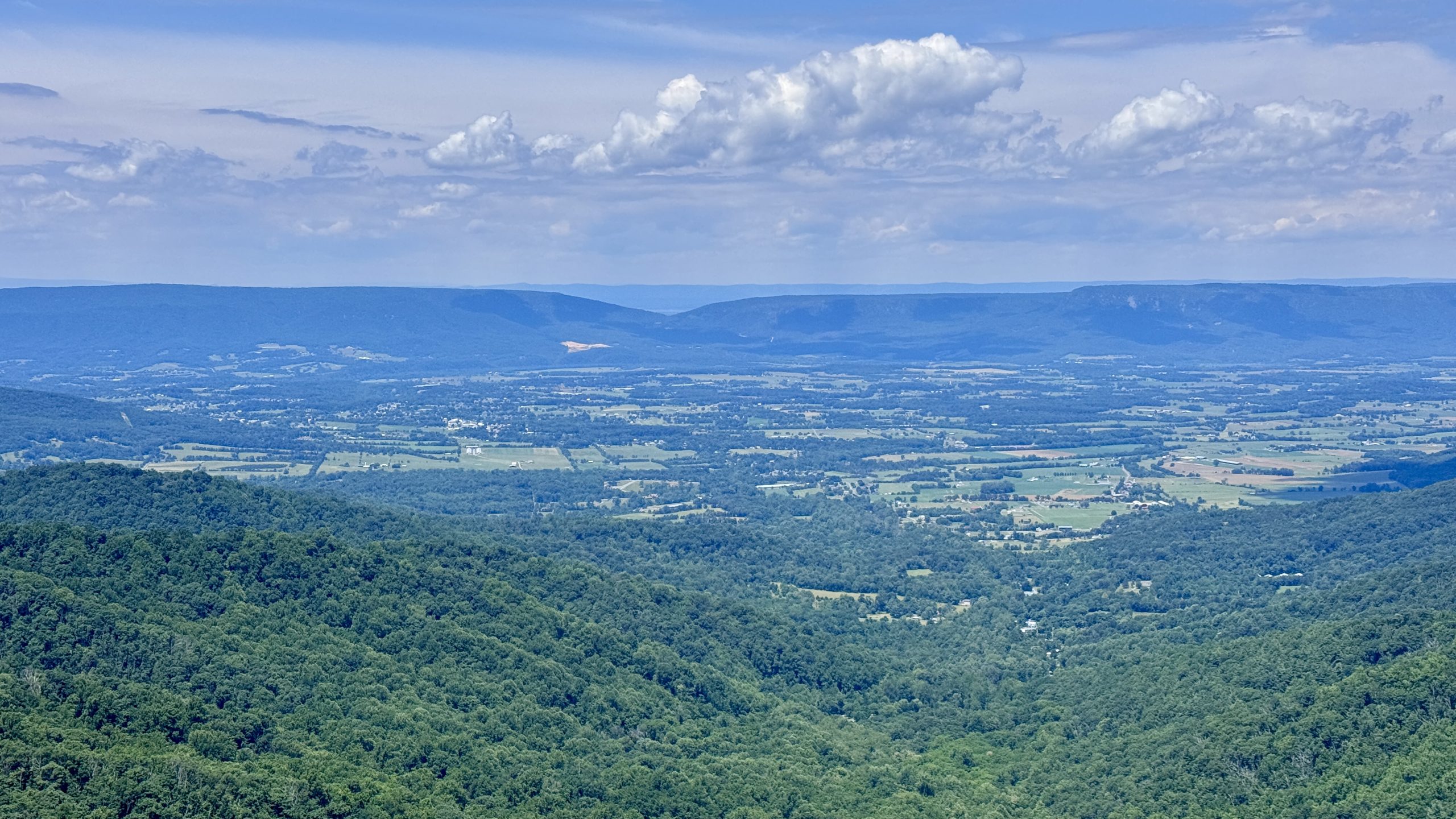
View from the Franklin Cliffs.
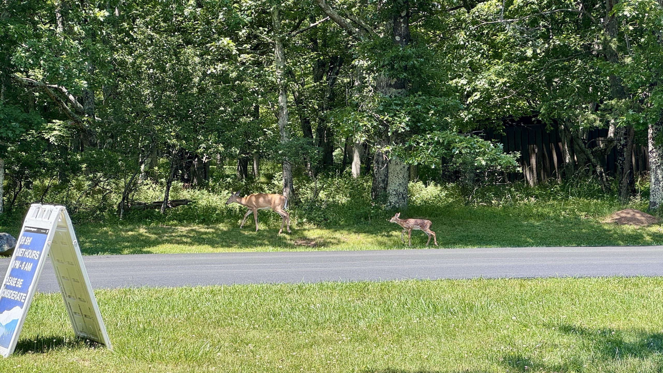
A doe and fawn look for a campsite at the Big Meadows Campground.
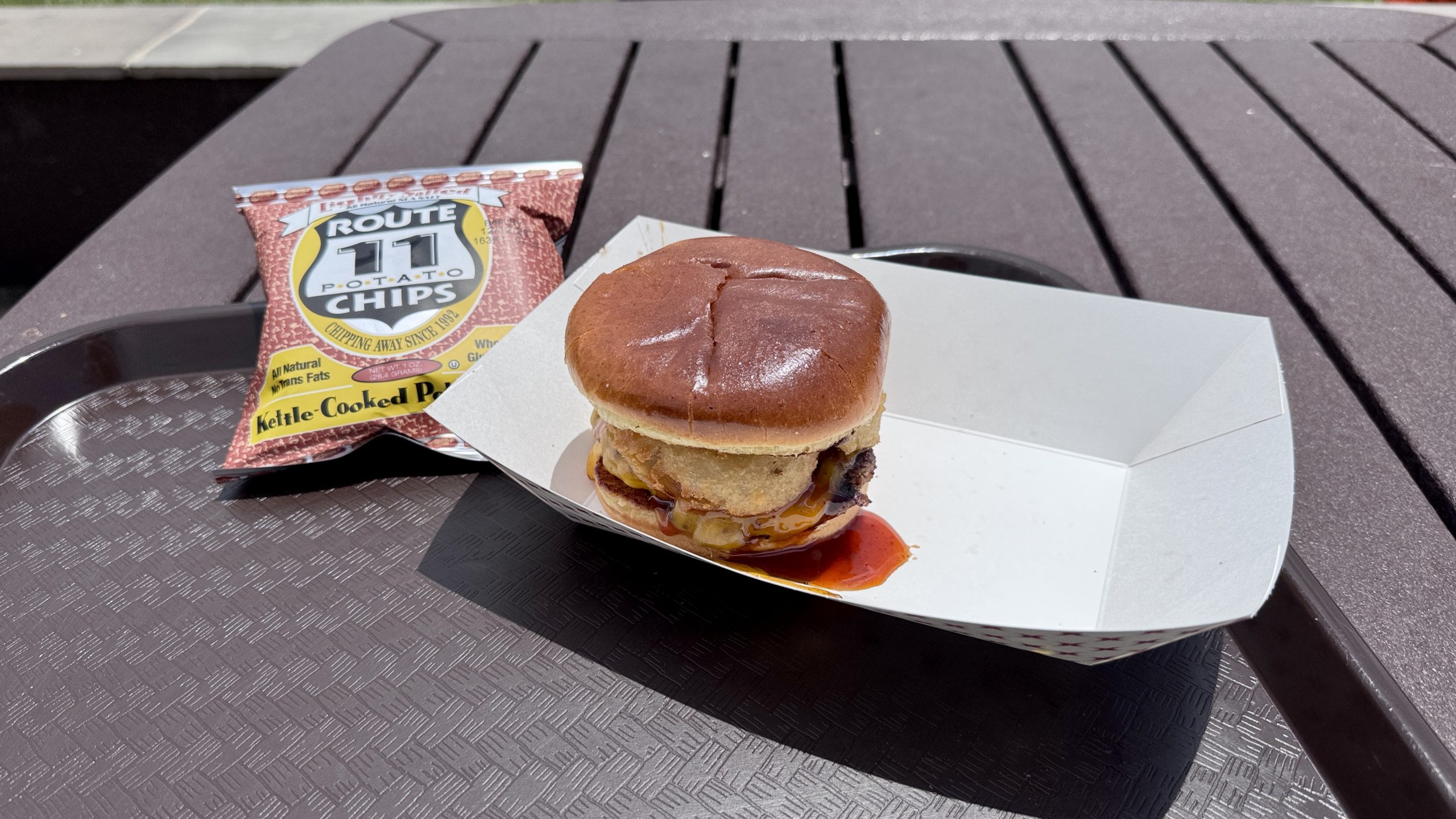
The Hogback Smashburger, my favorite meal so far.
Retro-Fiery Review
Having backtracked several times, I can confirm that there are pros and cons. As best I can tell, I prioritized sections of Skyline Drive that would eliminate difficult parts of the Appalachian Trail, which I had already done when I traversed the park heading north. Those particular sections weren’t particularly full of surprising insights. In my experience, the idea that retro glow provides better viewpoints seems a bit optimistic. What retro blazing certainly does is save time. Yesterday I started at mile 919.6, Bearfence Mountain Hut. I arrived at The Pinnacle at mile 941. Including 90 minutes on the big Meadows Wayside, it took me about 12 hours to complete. Today I started from The Pinnacle and made it to mile 920, which took me about 11 hours. I spent four hours in total sitting and enjoying food and drinks at the park’s restaurants. It would seem that walking along the road saved me about three hours of hiking, and that’s not counting about 30 minutes to explore Stony Man Mountain. I can’t say I felt a deep nostalgic connection to the old circa-1930 trail while walking along Skyline Drive, and at times I felt like I wished the road had more than 1 inch of shoulder room. In a perfect world, planners would have allowed a paved or gravel path along Skyline Drive to give hikers or walkers a safer spot for the Traverse Field Appalachian Trail.
One thing’s for sure, though: my feet were much better off without having to be pushed around by AT rock all day.
Bearfence Mountain
After a few more miles on Skyline Drive, I got back on the AT ready to take the alternate blue trail I had reserved for today. It was a proper struggle and a bit of a struggle even with my backpack reduced to just 3 days worth of food. I met a family from Michigan on my way. I recognized the name “Badoo” on the back of a t-shirt one of his sons was wearing. This is the last name of an obscure former Detroit Tigers player, Akil Badoo. It was nice to meet a group of Tigers fans at the park.
Once I got through the scramble, it was a short climb to the lookout at the top of Bearfence Mountain. FarOut reported on a site with room for some tents at the summit. I expected it to be empty or completely occupied. The volume of hikers decreased each day as they moved north at about twice my pace. At the same time, there were still groups that often preferred to camp together. I was wrong on both fronts. There was a single hiker with a tent set up and plenty of room for me to join.
The hiker, Genuine, was as friendly as anyone I’ve met on the trail and we had a great conversation. Like me, he had spent time abroad, although he had lived in Australia. You are reading the third book in the Fourth Wing series. He would fit in well with Toma, Tootsie, Hiccup, Daddy, and Patches, who read the series together while walking the AT.
After Genuine called it a night, I had dinner again while watching the sunset. I heard a noise behind me and looked to see a deer staring at me. He bravely advanced towards the viewpoint. I did my best to invite him and he came a few feet closer before leaving.
After sunset I retired to my tent to rest and reflect on my plan for tomorrow. I was considering more backlighting and how close I could get to my truck.
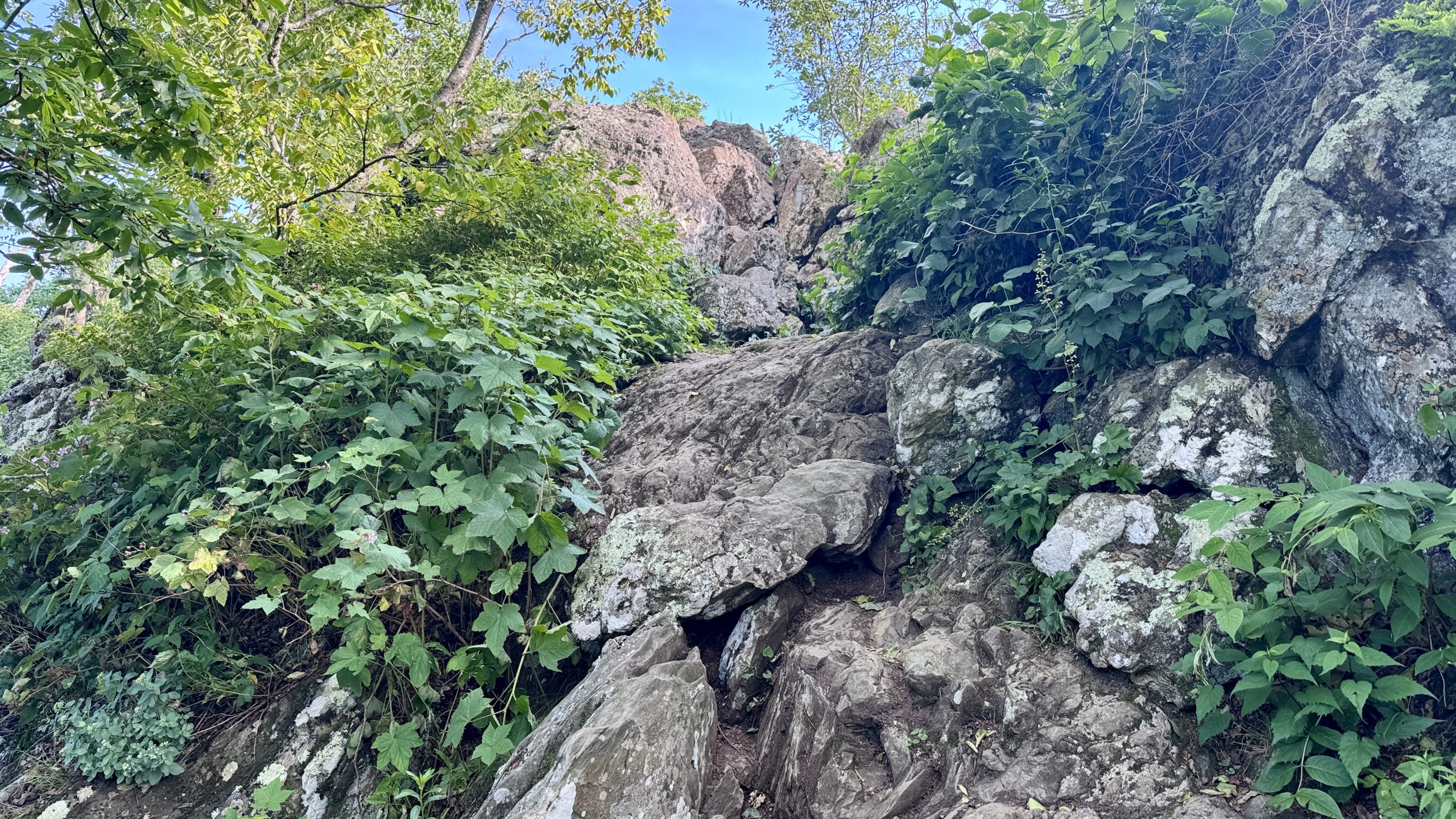
The Bearfence Mountain rock scramble.
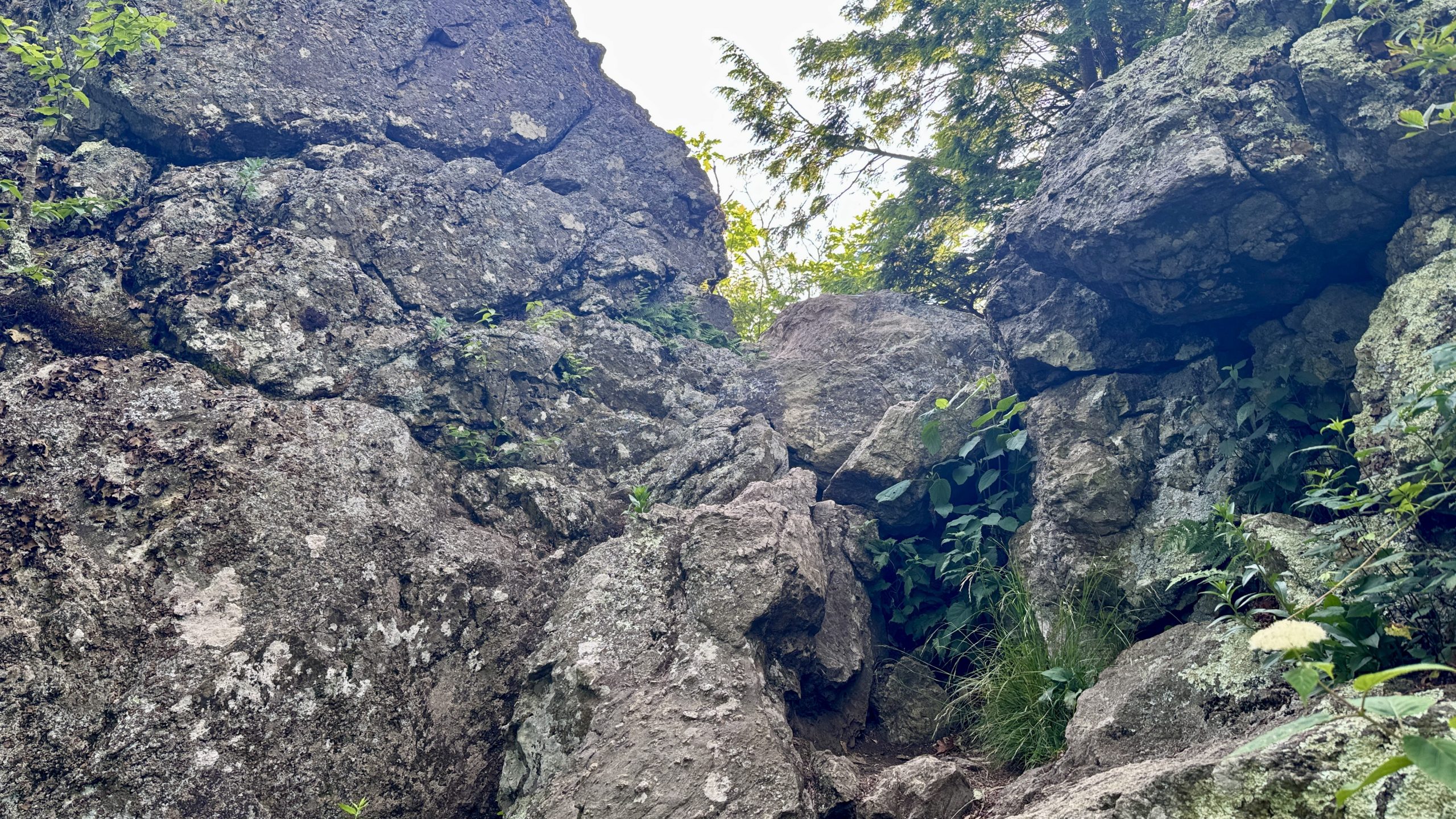
The Bearfence Mountain rock scramble.
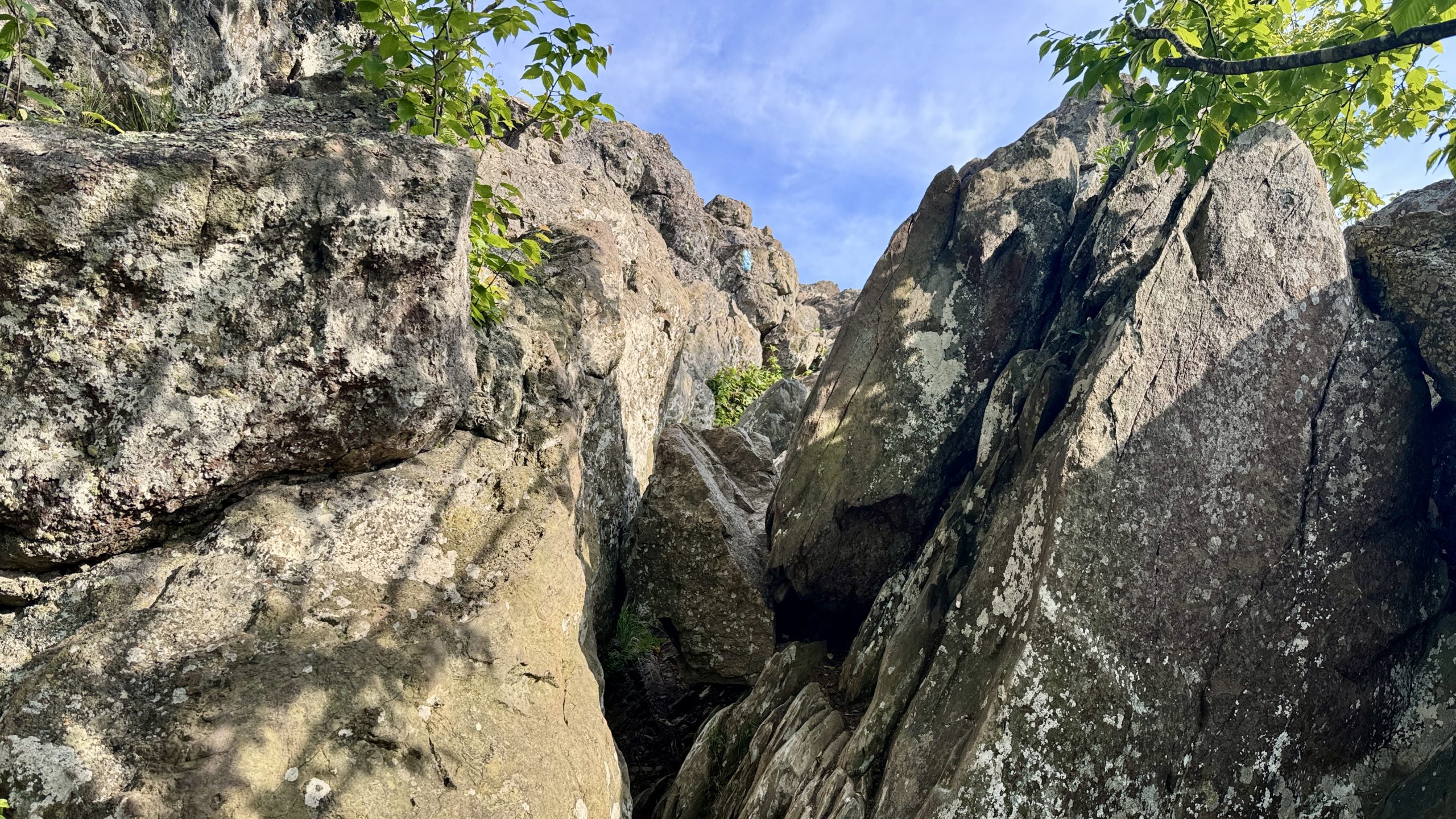
The Bearfence Mountain rock scramble.
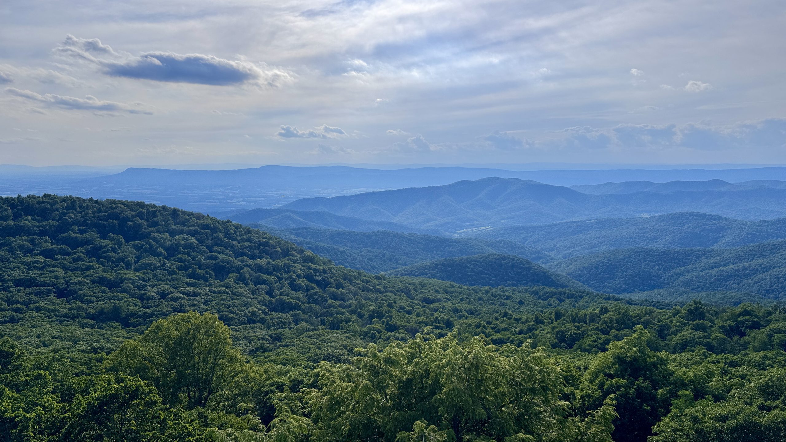
The view from Bearfence Mountain.
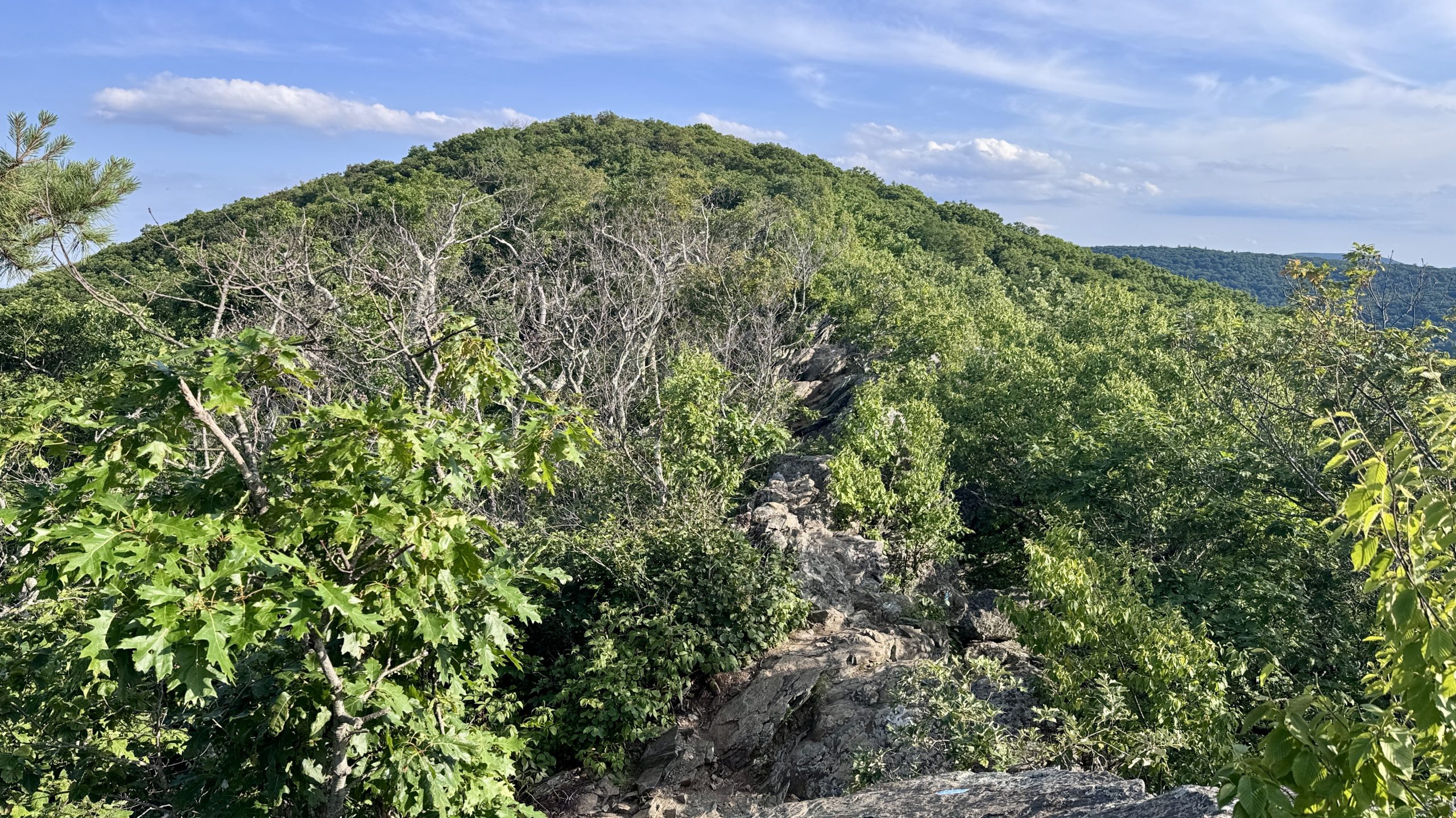
View of the summit of Bearfence Mountain from the top of the rock climb.
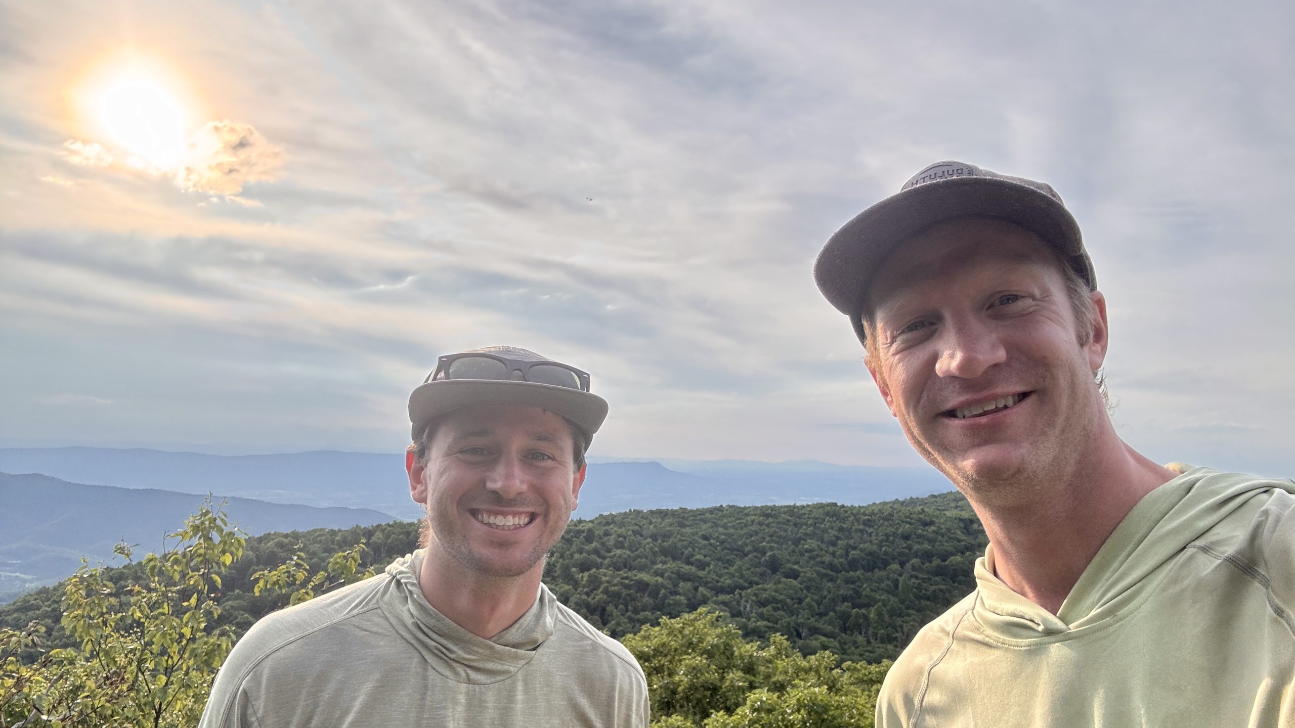
Genuine and see you tomorrow at the top of Bearfence Mountain.
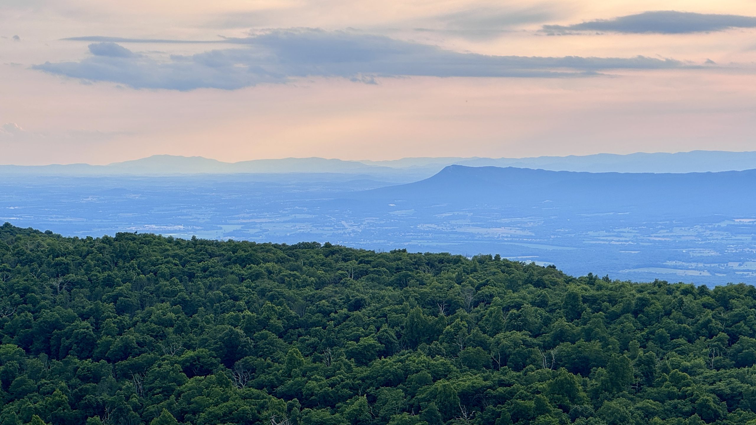
View from Bearfence Mountain. Massanutten Mountain rises from the valley below.
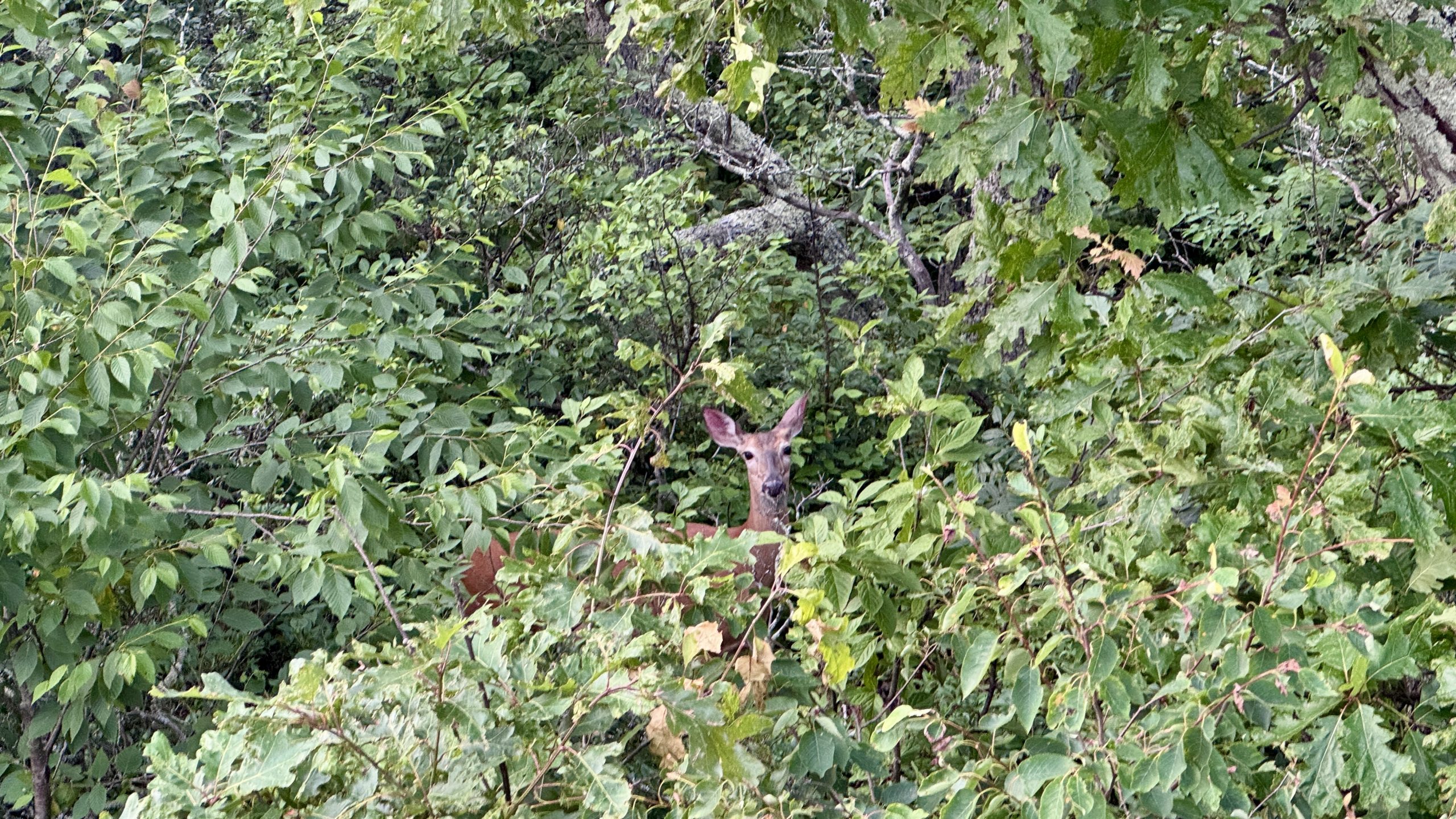
A deer approaches to view the Bearfence Mountain overlook.
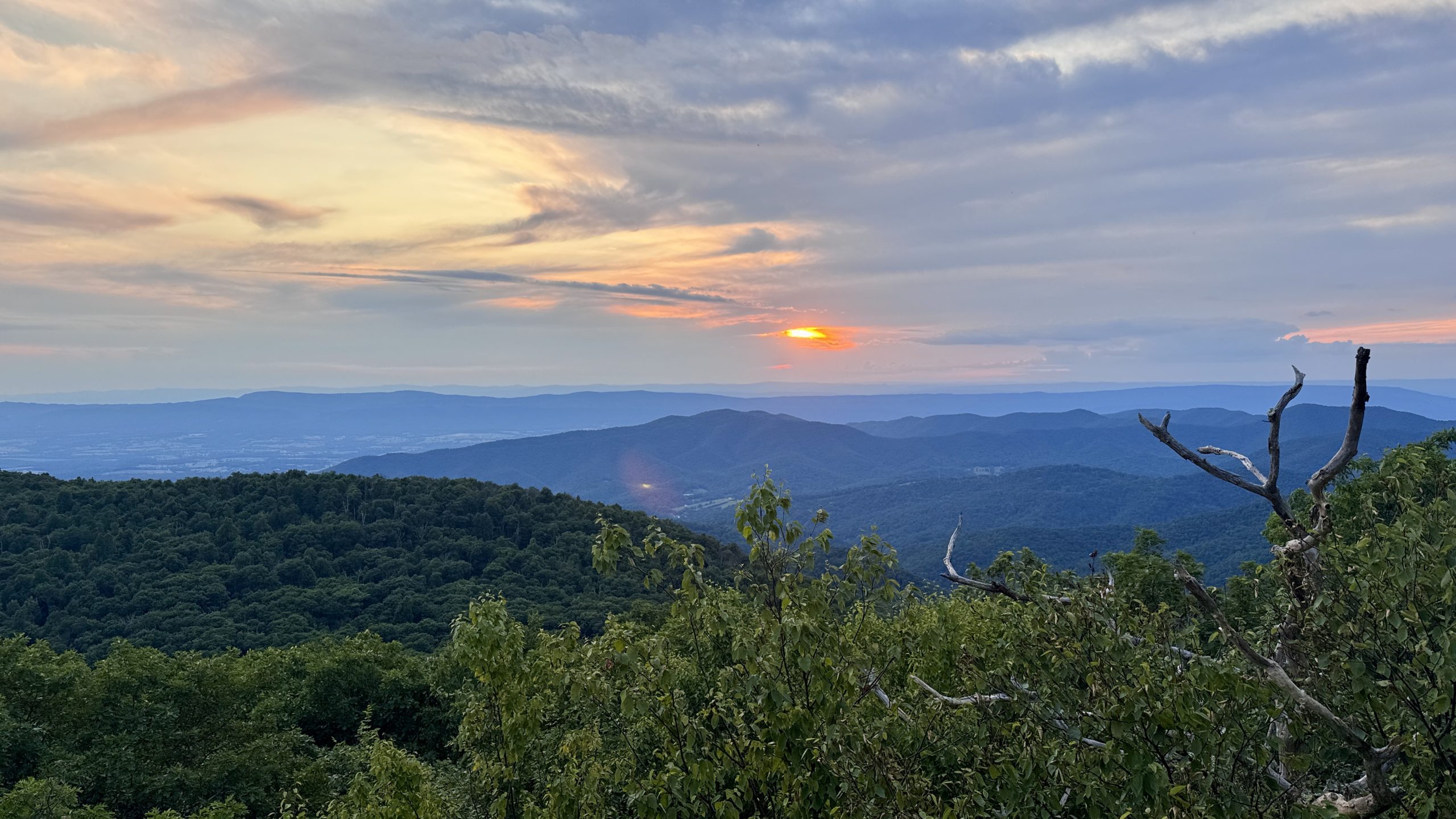
Sunset at Bearfence Mountain Overlook.
-See you tomorrow
| Leg | Begin | Mile | End | Mile | Ascent | Decline | Address |
|---|---|---|---|---|---|---|---|
| 1 | The pinnacle | 941.1 | Bearfence Lookout | 920.3 | 3,751 | 3,939 | THE ROOM |
Total: 20.8 miles, 45,548 steps
- Hike type: Backpacking
- Camp: Tent, Bearfence Mountain
This website contains affiliate links, which means The Trek may receive a percentage of any products or services you purchase using links in articles or advertisements. The buyer pays the same price they would otherwise pay, and their purchase helps support The Trek’s ongoing goal of bringing you quality backpacking information and advice. Thank you for your support!
For more information, visit the About page of this site.


